

Google Earth Coordinates: 42 24’ 43.6”N, 123 7’ 36.1W
To view the content from the link above you will need to have Google Earth installed on your home computer. Download Google Earth

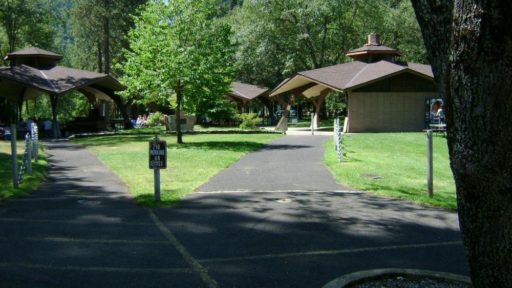
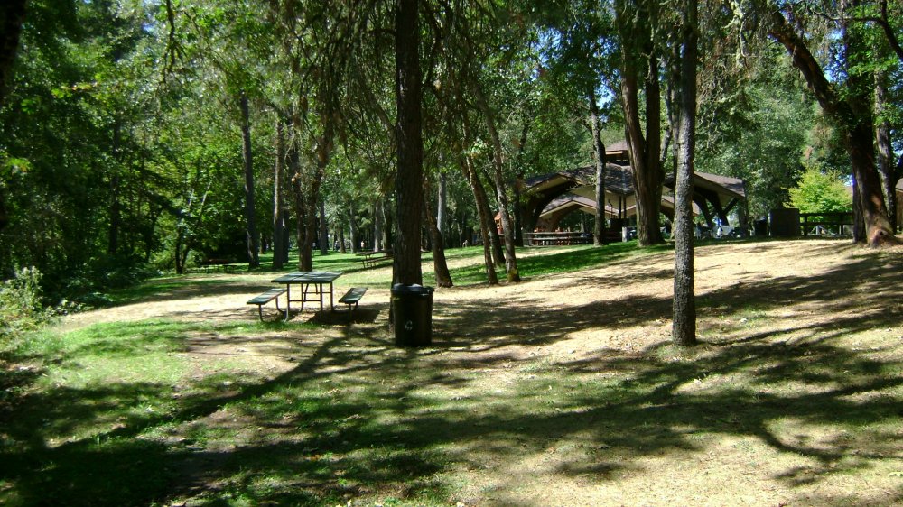
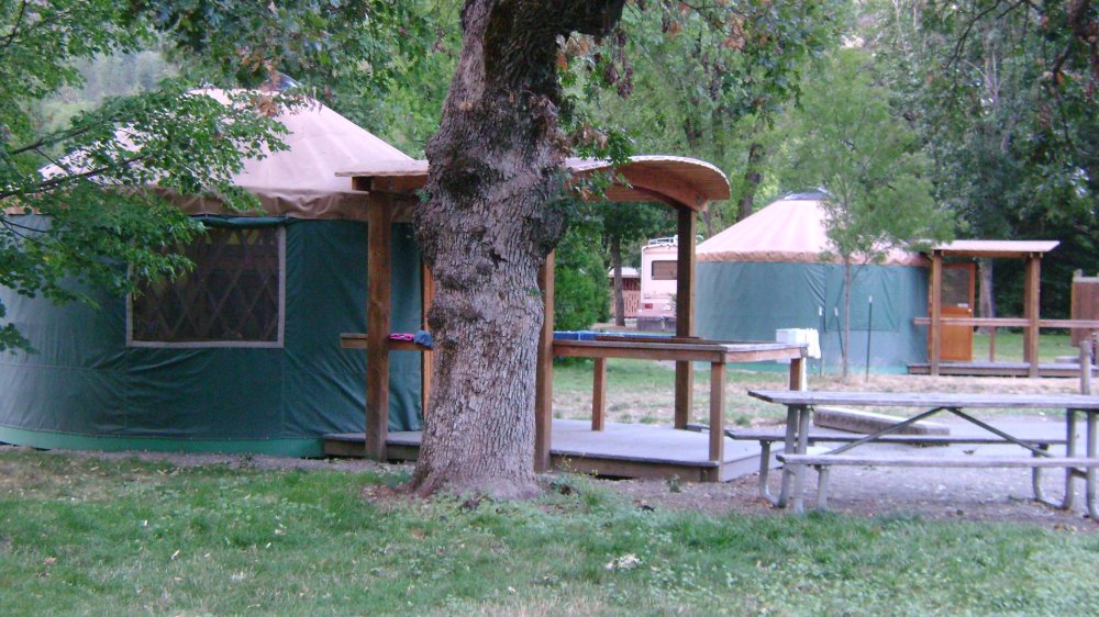
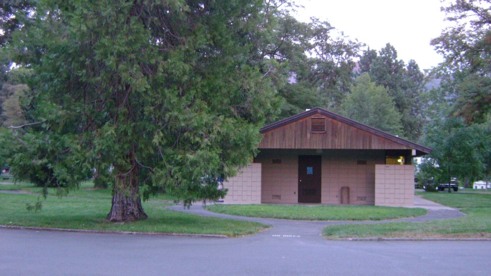
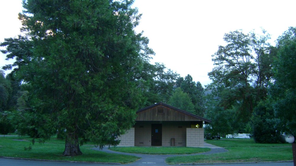
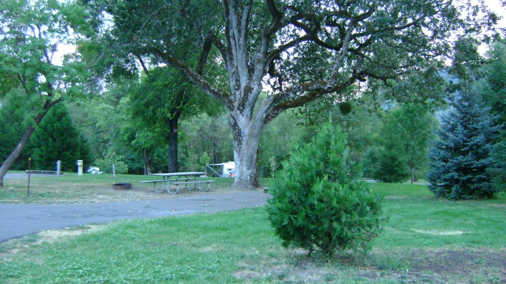
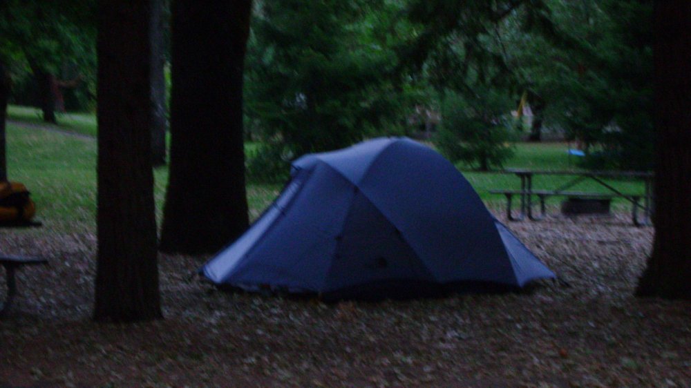
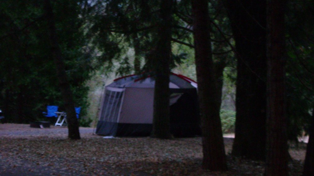
River Access, Boat Launch Ramp, Parking, Bathrooms, Grills, Tables, Showers, Tent Camping, Full Hookups, Yurts, Playground
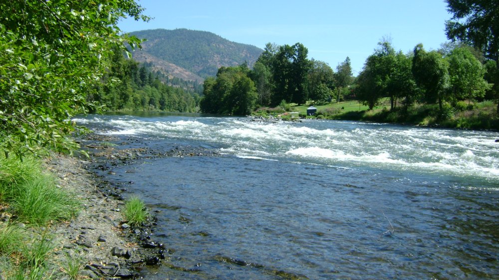
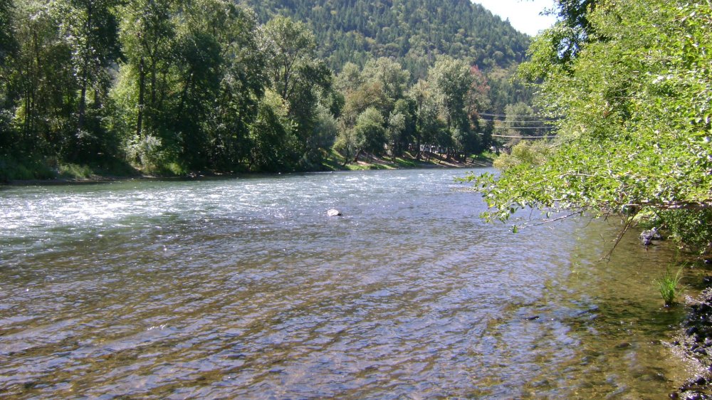
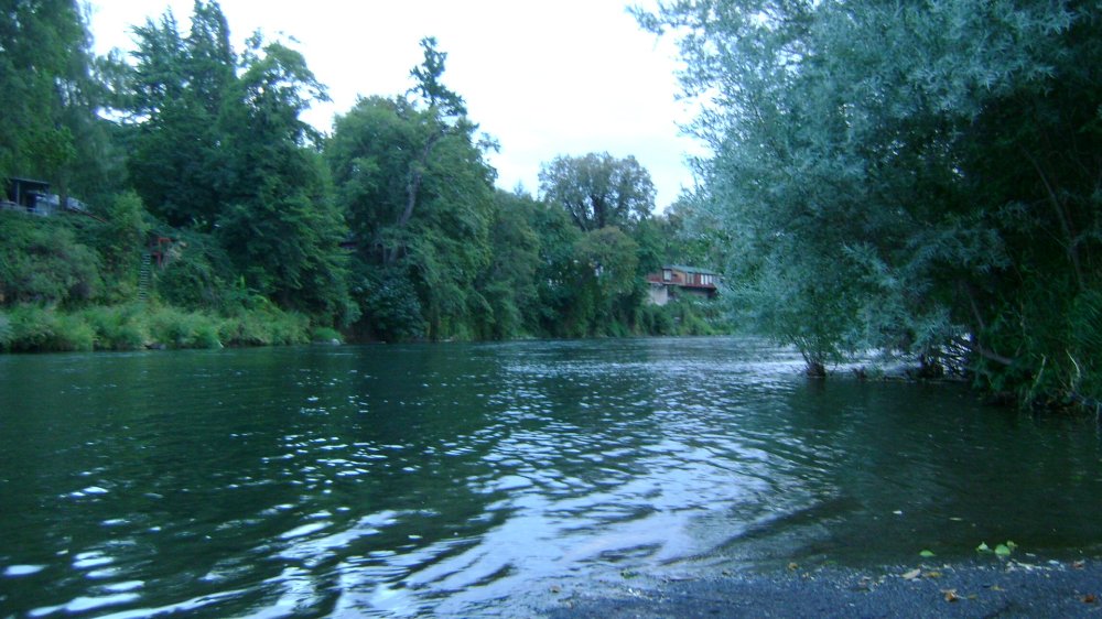
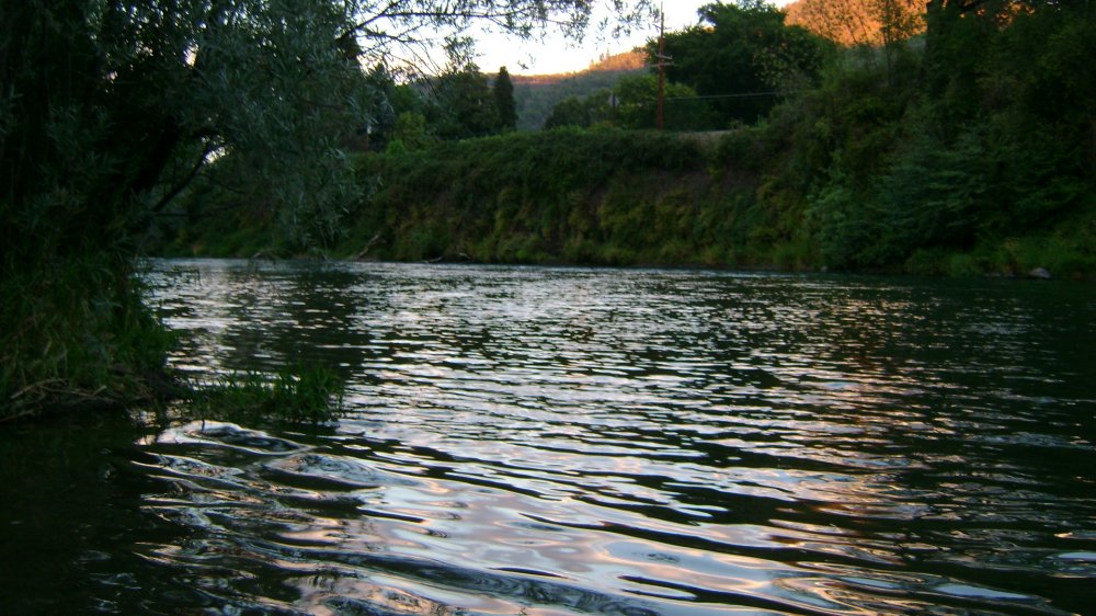
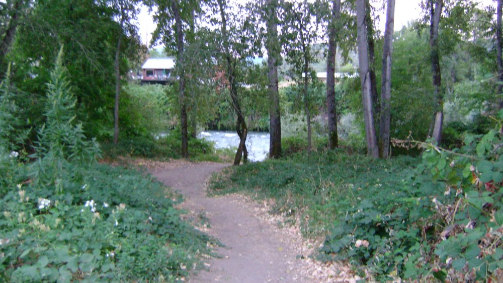
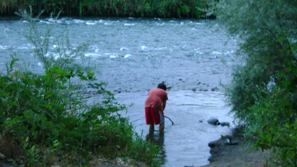
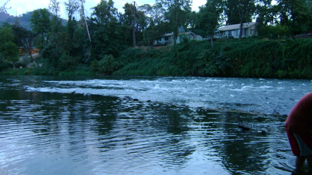
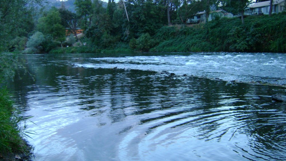
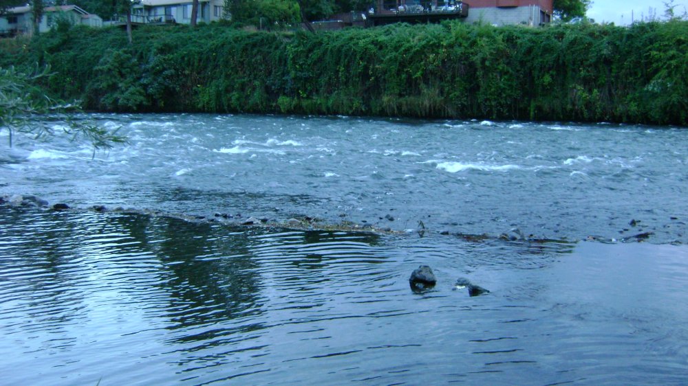
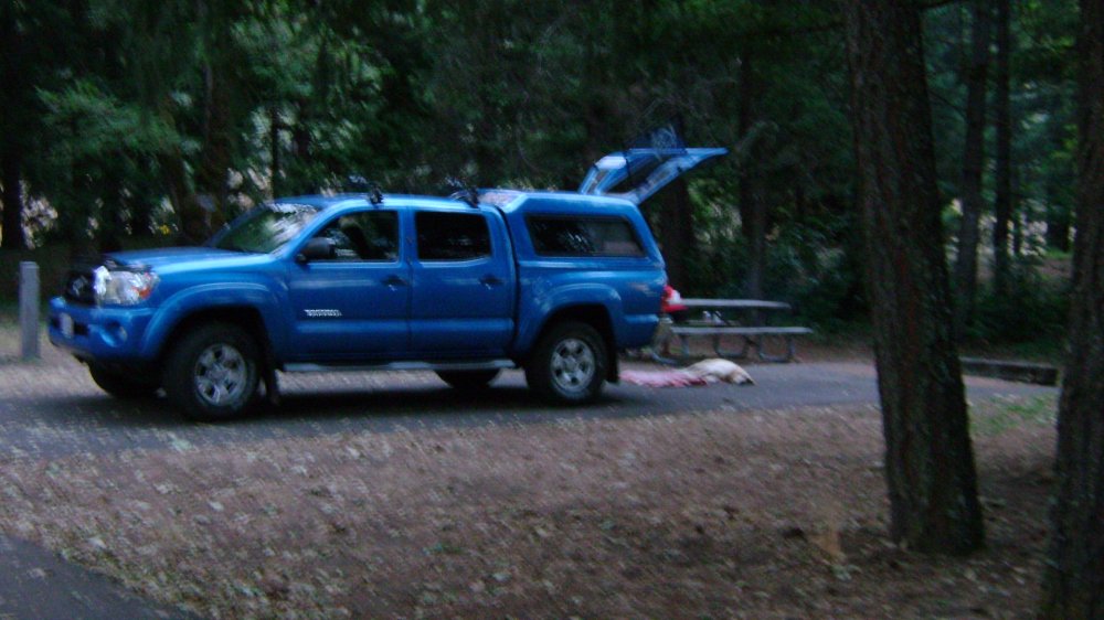
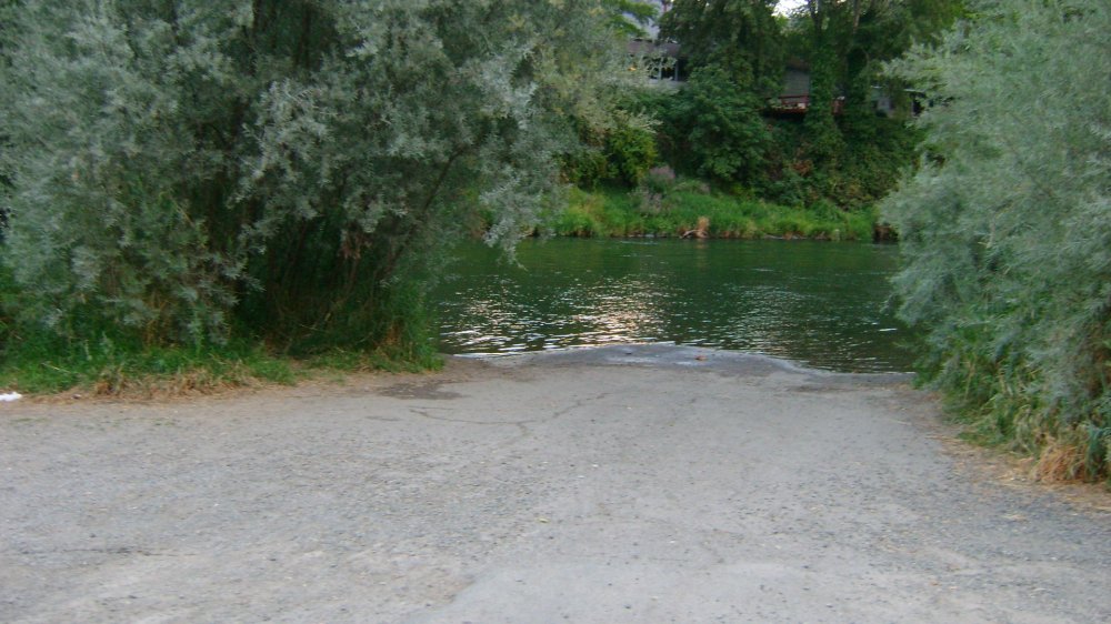
This is a big park which has everything. Some members will surely want to camp here. There is a rest stop area (off Interstate 5) at the entrance of the park. The rest area is separated from the camper’s area. There is also a fee area inside the park. The boat launch area is immediately adjacent, but outside of the park; so you could launch from there and park your truck at your campsite. The water is very fast and wide here.
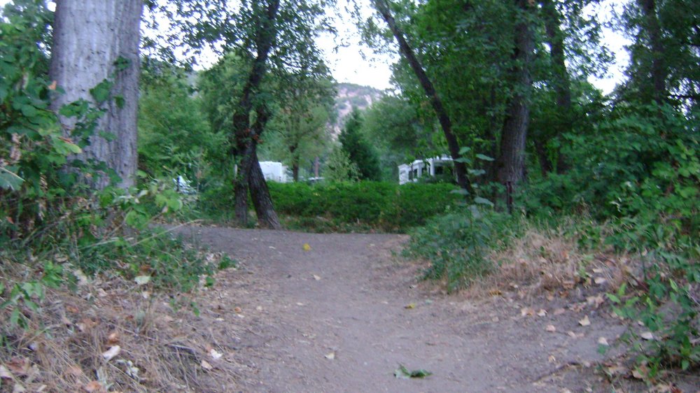
The park has a dump station for RV campers, and has about 5 “loops”, organized for RV’s, tents etc. The tented areas almost seem to be more spacious than the RV areas. We saw 4 deer just while we checked out the area! We understand you are allowed to put 1 tent plus 1 RV in a single RV space in this park.
Upper Klamath :: Upper-mid Klamath :: Mid Klamath :: Lower Klamath
Elk Creek :: Indian Creek :: Scott River :: Thompson Creek
Salmon River Main Stem :: Salmon River North Fork
Master List of Mining Properties


