OREGON STATE DEMOCRAT SENATORS

Senator Lee Beyer
Party: D  District: 6
Capitol Phone: 503-986-1706
Capitol Address: 900 Court St NE, S-419, Salem, OR, 97301
Email: Sen.LeeBeyer@state.or.us
Website: http://www.leg.state.or.us/beyer/


Senator Chris Edwards
Party: D  District: 7
Capitol Phone: 503-986-1707
Fax Number: 541-744-7110
Capitol Address: 900 Court St NE, S-405, Salem, OR, 97301
Email: Sen.ChrisEdwards@state.or.us
Website: http://www.leg.state.or.us/edwardsc


Senator Betsy Johnson
Party: D  District: 16
Capitol Phone: 503-986-1716
District Phone: 503-543-4046
Capitol Address: 900 Court St NE, S-209, Salem, OR, 97301
District Office Address: PO Box R, Scappoose, OR, 97056
Email: Sen.BetsyJohnson@state.or.us
Website: http://www.leg.state.or.us/johnson


Senator Arnie Roblan
Party: D  District: 5
Capitol Phone: 503-986-1705
Capitol Address: 900 Court St NE, S-417, Salem, OR, 97301
Email: Sen.ArnieRoblan@state.or.us
Website: http://www.leg.state.or.us/roblan


Senator Alan Bates
Party: D  District: 3
Capitol Phone: 503-986-1703
District Phone: 541-282-6502
Capitol Address: 900 Court St NE, S-205, Salem, OR, 97301
District Office Address: 2859 State Street #101, Medford, OR, 97504
Email: Sen.AlanBates@state.or.us
Website: http://www.leg.state.or.us/bates


Senator Ginny Burdick troll
Party: D  District: 18
Capitol Phone: 503-986-1718
Capitol Address: 900 Court St NE, S-213, Salem, OR, 97301
Email: Sen.GinnyBurdick@state.or.us
Website: http://www.leg.state.or.us/burdick


Senator Peter Courtney
Party: D  District: 11
Capitol Phone: 503-986-1600
Capitol Address: 900 Court St NE, S-201, Salem, OR, 97301
Interim Address: 900 Court St NE, S-201, Salem, OR, 97301
Email: Sen.PeterCourtney@state.or.us
Website: http://www.leg.state.or.us/senate/senpres


Senator Richard Devlin
Party: D  District: 19
Capitol Phone: 503-986-1719
Capitol Address: 900 Court St NE, S-211, Salem, OR, 97301
Email: Sen.RichardDevlin@state.or.us
Website: http://www.leg.state.or.us/devlin


Senator Jackie Dingfelder troll
Party: D  District: 23
Capitol Phone: 503-986-1723
District Phone: 503-493-2804
Capitol Address: 900 Court St NE, S-407, Salem, OR, 97301
District Office Address: PO Box 13432, Portland, OR, 97213
Email: Sen.JackieDingfelder@state.or.us
Website: http://www.leg.state.or.us/dingfelder


Senator Mark Hass
Party: D  District: 14
Capitol Phone: 503-986-1714
Capitol Address: 900 Court St NE, S-207, Salem, OR, 97301
District Office Address: PO Box 536, Beaverton, OR, 97075
Email: Sen.MarkHass@state.or.us
Website: http://www.leg.state.or.us/hass


Senator Laurie Monnes Anderson
Party: D  District: 25
Capitol Phone: 503-986-1725
Capitol Address: 900 Court St NE, S-413, Salem, OR, 97301
Email: Sen.LaurieMonnesAnderson@state.or.us
Website: http://www.leg.state.or.us/monnesanderson


Senator Rod Monroe
Party: D  District: 24
Capitol Phone: 503-986-1724
District Phone: 503-760-4310
Capitol Address: 900 Court St NE, S-409, Salem, OR, 97301
District Office Address: 7802 SE 111th Ave, Portland, OR, 97266
Email: Sen.RodMonroe@state.or.us
Website: http://www.leg.state.or.us/monroe


Senator Floyd Prozanski
Party: D  District: 4
Capitol Phone: 503-986-1704
District Phone: 541-342-2447
Capitol Address: 900 Court St NE, S-415, Salem, OR, 97301
District Office Address: PO Box 11511, Eugene, OR, 97440
Email: Sen.FloydProzanski@state.or.us
Website: http://www.leg.state.or.us/prozanski


Senator Diane Rosenbaum
Party: D  District: 21
Capitol Phone: 503-986-1700
District Phone: 503-231-9970
Capitol Address: 900 Court St NE, S-223, Salem, OR, 97301
District Office Address: 1125 SE Madison St., Suite 100B, Portland, OR, 97214
Email: Sen.DianeRosenbaum@state.or.us
Website: http://www.leg.state.or.us/rosenbaum


Senator Chip Shields
Party: D  District: 22
Capitol Phone: 503-986-1722
District Phone: 503-231-2564
Capitol Address: 900 Court St NE, S-421, Salem, OR, 97301
District Office Address: 5313 N Vancouver Ave, Portland, OR, 97217
Email: Sen.ChipShields@state.or.us
Website: http://www.leg.state.or.us/shieldsc


Senator Elizabeth Steiner Hayward
Party: D  District: 17
Capitol Phone: 503-986-1717
Capitol Address: 900 Court St NE, S-215, Salem, OR, 97301
Email: Sen.ElizabethSteinerHayward@state.or.us
Website: http://www.leg.state.or.us/steinerhayward/


OREGON STATE REPUBLICAN SENATORS


Senator Herman Baertschiger
Party: R  District: 2
Capitol Phone: 503-986-1702
Capitol Address: 900 Court St NE, S-403, Salem, OR, 97301
Email: Sen.HermanBaertschiger@state.or.us
Interim Email:Sen.HermanBaertschiger@state.or.us
Website: http://www.leg.state.or.us/baertschiger


Senator Brian Boquist
Party: R  District: 12
Capitol Phone: 503-986-1712
Capitol Address: 900 Court St NE, S-305, Salem, OR, 97301
Email: Sen.BrianBoquist@state.or.us
Website: http://www.leg.state.or.us/boquist


Senator Betsy Close
Party: R  District: 8
Capitol Phone: 503-986-1708
Capitol Address: 900 Court St NE, S-303, Salem, OR, 97301
Email: Sen.BetsyClose@state.or.us
Website: https://www.oregonlegislature.gov/


Senator Ted Ferrioli
Party: R  District: 30
Capitol Phone: 503-986-1950
District Phone: 541-490-6528
Capitol Address: 900 Court St NE, S-323, Salem, OR, 97301
District Office Address: 111 Skyline Drive, John Day, OR, 97845
Email: Sen.TedFerrioli@state.or.us
Website: http://www.leg.state.or.us/ferrioli


Senator Larry George
Party: R  District: 13
Capitol Phone: 503-986-1713
Capitol Address: 900 Court St NE, S-307, Salem, OR, 97301
Email: Sen.LarryGeorge@state.or.us
Website: http://www.leg.state.or.us/georgel


Senator Fred Girod
Party: R  District: 9
Capitol Phone: 503-986-1709
District Phone: 503-769-4322
Capitol Address: 900 Court St NE, S-401, Salem, OR, 97301
District Office Address: 101 Fern Ridge Road, Stayton, OR, 97383
Email: Sen.FredGirod@state.or.us
Website: http://www.leg.state.or.us/girod


Senator Bill Hansell
Party: R  District: 29
Capitol Phone: 503-986-1729
Capitol Address: 900 Court St NE, S-423, Salem, OR, 97301
Email: Sen.BillHansell@state.or.us
Interim Email:Sen.BillHansell@state.or.us
Website: http://www.leg.state.or.us/hansell


Senator Tim Knopp
Party: R  District: 27
Capitol Phone: 503-986-1727
Capitol Address: 900 Court St NE, S-309, Salem, OR, 97301
Email: sen.timknopp@state.or.us
Interim Email:sen.timknopp@state.or.us
Website: http://www.leg.state.or.us/knopp


Senator Jeff Kruse
Party: R  District: 1
Capitol Phone: 503-986-1701
District Phone: 541-580-3276
Capitol Address: 900 Court St NE, S-315, Salem, OR, 97301
District Office Address: 636 Wild Iris Lane, Roseburg, OR, 97470
Email: Sen.JeffKruse@state.or.us
Website: http://www.leg.state.or.us/kruse


Senator Alan Olsen
Party: R  District: 20
Capitol Phone: 503-986-1720
District Phone: 503-936-8605
Capitol Address: 900 Court St NE, S-425, Salem, OR, 97301
District Office Address: PO Box 820, Canby, OR, 97013
Email: Sen.AlanOlsen@state.or.us
Website: http://www.leg.state.or.us/olsen


Senator Bruce Starr
Party: R  District: 15
Capitol Phone: 503-986-1715
District Phone: 503-352-0922
Capitol Address: 900 Court St NE, S-411, Salem, OR, 97301
District Office Address: 22115 NW Imbrie Drive #290, Hillsboro, OR, 97124
Email: Sen.BruceStarr@state.or.us
Website: https://www.oregonlegislature.gov/


Senator Chuck Thomsen
Party: R  District: 26
Capitol Phone: 503-986-1726
Capitol Address: 900 Court St NE, S-316, Salem, OR, 97301
Email: Sen.ChuckThomsen@state.or.us
Website: http://www.leg.state.or.us/thomsen/


Senator Doug Whitsett
Party: R  District: 28
Capitol Phone: 503-986-1728
District Phone: 541-883-4006
Capitol Address: 900 Court St NE, S-311, Salem, OR, 97301
District Office Address: 23131 N. Poe Valley Road, Klamath Falls, OR, 97603
Email: Sen.DougWhitsett@state.or.us
Website: http://www.leg.state.or.us/whitsett


Senator Jackie Winters
Party: R  District: 10
Capitol Phone: 503-986-1710
Capitol Address: 900 Court St NE, S-301, Salem, OR, 97301
Email: Sen.JackieWinters@state.or.us
Website: http://www.leg.state.or.us/winters


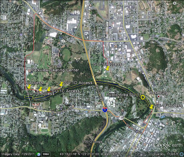


State Land area open to suction dredging under a General Authorization by Department of State Lands and a Water Quality Permit issued by the Department of Environmental Quality

SU-1 Snapshot


GOOGLE EARTH COORDINATES: To view the content from the location links below you will need to have Google Earth installed on your home computer. Download Google Earth

UPSTREAM: 43 12’51.72″N, 123 20’38.20″W
DOWNSTREAM: 43 12’58.04″N, 123 22’33.94″W

Click on thumbnails to view images full size.
SU-1-1  SU-1-2  SU-1-3  SU-1-4  SU-1-5  SU-1-6  SU-1-7

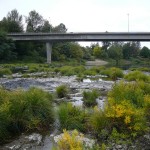
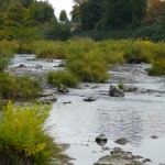
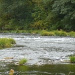
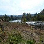
This public area is only the north-half of the river, from the north bank to the center of the river only. The location is in the City of Roseburg and takes in almost two miles of river front. The stretch of river encompasses the four city parks of Deer Creek Park, Gaddis Park, River Front Park & Stewart Park (see access points below).

There is plenty of parking at Stewart Park and Gaddis Park with an access path along the entire river front length.

Important note: The city noise ordinance must be followed; mufflers required and operating hours are 7am-to-7pm Mon-Sat, No dredging allowed on Sundays and Holidays. Cigarette smoking and the consumption of alcohol are not allowed in Roseburg city parks and violators will be cited. It is important that you remain within the confines of the public property, because it is surrounded by private property.

 Access Point SU-1-A

GOOGLE EARTH COORDINATES:  43 13’03.24″N, 123 22’29.38″W

Click on thumbnails to view images full size.
SU1A-1  SU-1A-2

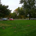
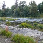
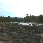
This access is a paved parking area in Stewart Park, on Stewart Park Dr., a little over 400ft away from the river.  All equipment and gear will have to be hand-packed across the park lawn to the river bank.  There is an unbelievable amount of exposed bedrock visible at this location.

Access Point SU-1-B

GOOGLE EARTH COORDINATES:  43 13’01.72”N, 123 22’18.91W

Click on thumbnails to view images full size.
SU-1B-1  SU-1B-2  SU-1B-3  SU-1B-4

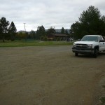
This access point is a gravel parking area in Stewart Park, on the north side of Stewart Park Dr., just under 300ft away from the river.  All equipment and gear will have to be hand-packed to the river bank.  There is also an unbelievable amount of bedrock visible at this location.

Access Point SU-1-C

GOOGLE EARTH COORDINATES:  43 13’01.65″N, 123 22’11.21″W

Click on thumbnails to view images full size.
SU-1C-1  SU-1C-2

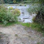
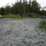
This access point is in Stewart Park and is a gravel shoulder on the south side of Stewart Park Dr., less than 90ft from the river bank.  There are short paths leading right to the water.  There is room for about fifteen vehicles.  This is where the shallow bedrock at access points SU-1A & SU-1B begins.

Access Point SU-1-D

GOOGLE EARTH COORDINATES:  43 13’05.07″N, 123 21’59.76″W

Click on thumbnails to view images full size.
SU-1D-1

This access point is a gravel parking area in Stewart Park and is located at the SW corner of Stewart Park Dr. & Centennial Dr., about 100ft from the water.  The bank is steep.

Access Point SU-1-E

GOOGLE EARTH COORDINATES:  43 13’15.77″N, 123 21’17.02″W

Click on thumbnails to view images full size.
SU-1E-1

This access point is a paved parking lot located at the baseball field in Gaddis Park.  There is ample parking but it is 700-to-800ft to the water.  There are two paved paths leading from the parking lot, one in the SW corner and one at the SE corner.  There is an unbelievable amount of shallow bedrock just upstream from where the SE path meets the river.

Access Point SU-1-F

GOOGLE EARTH COORDINATES:  43 12’50.08″N, 123 20’36.45″W

Click on thumbnails to view images full size.
SU-1F-1

This access point is a very limited parking area for Deer Creek Park and is located at the end of Pine St.  The bank is almost 30feet straight down, making access here very challenging.  This is also the beginning of the riverside trail which leads all the way to Stewart Park.


Upper Klamath :: Upper-mid Klamath :: Mid Klamath :: Lower Klamath
Elk Creek :: Indian Creek :: Scott River :: Thompson Creek
Salmon River Main Stem :: Salmon River North Fork
Master List of Mining Properties


State Land area open to suction dredging under a General Authorization by Department of State Lands and a Water Quality Permit issued by the Department of Environmental Quality


GOOGLE EARTH COORDINATES: To view the content from the location links below you will need to have Google Earth installed on your home computer. Download Google Earth

UPSTREAM: 43 12’41.62″N, 123 21’00.33″W
DOWNSTREAM: 43 12’45.66″N, 123 20’51.64″W

Click on thumbnails to view images full size.
SU-2-1  SU-2-2  SU-2-3  SU-2-4

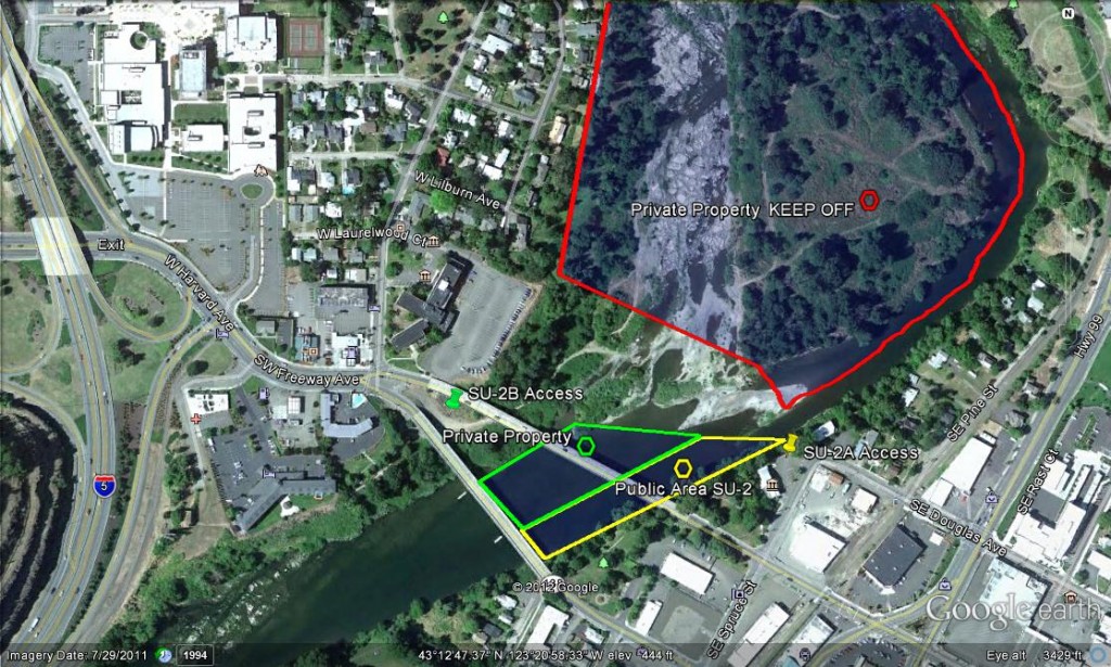
This public area is only the East ½ of the river, from the East bank to the center of the river only. This location is in the City of Roseburg and is approximately. 800ft of river. This location encompasses the Riverside Park in the City of Roseburg, including approximately 800feet of river. It is important that you remain within the confines of the public property, because it is surrounded by private property.

At this time, we have permission to dredge on the west side of the river at this location from the private property owners. Please treat this area with all due respect as this permission may be revoked at any time if anyone disrespects the property.

Important note: The city noise ordinance must be followed; mufflers are required and operating hours are 7am-to-7pm Mon-Sat, No dredging allowed on Sundays and Holidays. Cigarette smoking and the consumption of alcohol are not allowed in Roseburg city parks and violators will be cited.

 Access Point SU-2-A

GOOGLE EARTH COORDINATES: 43 12’42.84″N, 123 20’48.50″W

Click on thumbnails to view images full size.
SU-2A

This access point is at the Roseburg visitor’s center on Spruce Street. Parking is limited, and you must pack equipment to the river.  There is a path along the entire river front, but access is steep and challenging.

 Access Point SU-2-B

GOOGLE EARTH COORDINATES: 43 12’45.72”N, 123 21’04.84”W

Click on thumbnails to view images full size.
SU-2A-1  SU-2A-2

This access point entry is located at the west-end, right between where the one-way bridges of Oak and Washington Avenues come together at Madrone Street. This access is private property that we have permission to use at this time. That permission may be revoked at any time if anyone mistreats this property. You can drive right to the water’s edge onto the gravel bar on the west side of the river. A 4×4 truck is recommended, because it is possible to get stuck in river rock. But people do drive 2-wheel-drive trucks to the waters edge and do not get stuck.
The island is private property as is the dry riverbed. Do not drive on the island at any time for any reason.


Upper Klamath :: Upper-mid Klamath :: Mid Klamath :: Lower Klamath
Elk Creek :: Indian Creek :: Scott River :: Thompson Creek
Salmon River Main Stem :: Salmon River North Fork
Master List of Mining Properties


State Land area open to suction dredging under a General Authorization by Department of State Lands and a Water Quality Permit issued by the Department of Environmental Quality

SU-3 Snapshot


GOOGLE EARTH COORDINATES: To view the content from the location links below you will need to have Google Earth installed on your home computer. Download Google Earth

UPSTREAM: 43 11’56.59″N, 123 21’18.54″W
DOWNSTREAM: 43 12’37.19″N, 123 21’12.86″W

Click on thumbnails to view images full size.
SU-3-1  SU-3-2  SU-3-3

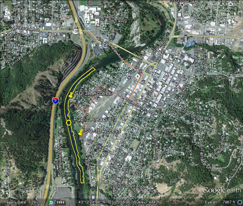
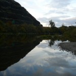
This public area is only open on the east-half of the river, from the east bank to the center of the river. This location encompasses the two city parks of Micelli Park and Templin Beach Park in the city of Roseburg and takes in nearly a mile of riverfront.

Important note: The city noise ordinance must be followed; mufflers are required and operating hours are 7am-to-7pm Mon-Sat. No dredging allowed on Sundays and Holidays. Cigarette smoking and the consumption of alcohol are not allowed in Roseburg city parks and violators will be cited.
 Access Point SU-3-A

GOOGLE EARTH COORDINATES: 43 12’26.01″N, 123 21’23.60″W

Click on thumbnails to view images full size.
SU-3A-1  SU-3A-2

This access point is the paved parking lot for Templin Beach Park, off Templin Avenue.  There is a paved boat ramp at this location.  This is a fee parking and launching area with plenty of parking and public restrooms.

 Access Point SU-3-B

GOOGLE EARTH COORDINATES: 43 12’12.26″N, 123 21’19.16″W

Click on thumbnails to view images full size.
SU-3B-1  SU-3B-2

This access point is the paved parking lot for Micelli Park, at the end of Mecelli Street, located at the baseball fields.  You must pack all equipment to the river.


Upper Klamath :: Upper-mid Klamath :: Mid Klamath :: Lower Klamath
Elk Creek :: Indian Creek :: Scott River :: Thompson Creek
Salmon River Main Stem :: Salmon River North Fork
Master List of Mining Properties


State Land area open to suction dredging under a General Authorization by Department of State Lands and a Water Quality Permit issued by the Department of Environmental Quality

SU-4 Snapshot


GOOGLE EARTH COORDINATES: To view the content from the location links below you will need to have Google Earth installed on your home computer. Download Google Earth

UPSTREAM: 43 11’32.23″N, 123 21’27.12″W
DOWNSTREAM: 43 11’56.59″N, 123 21’18.54″W

Click on thumbnails to view images full size.
SU-4-1  SU-4-2  SU-4-3

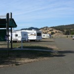
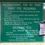
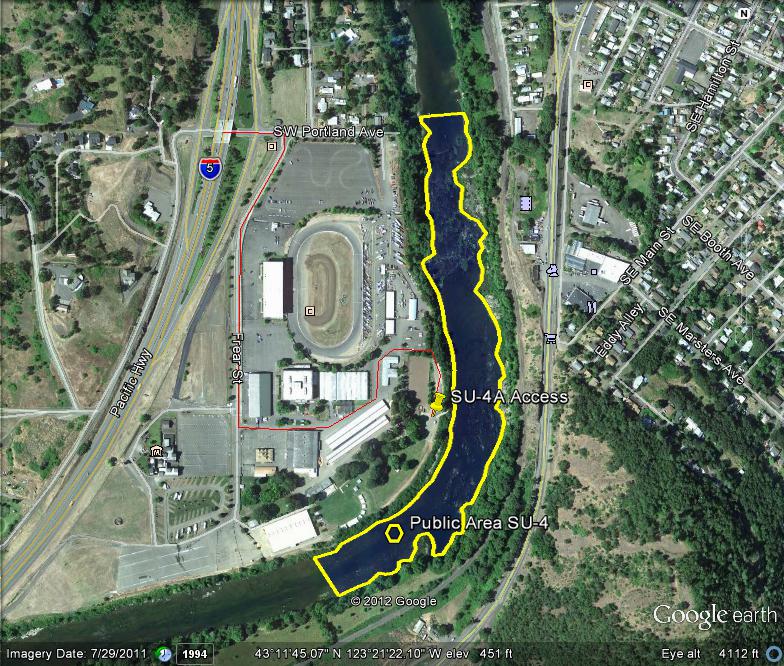
This location is in Douglas County proper, just outside of Roseburg city limits and is just over a half mile in length.  The public area takes in from bank to bank, the entire width of the river.  The location encompasses a large portion of the Douglas County Fairgrounds.  There is ample parking, and a boat ramp at this location.  There is also an RV park at this location that is run by the Fairgrounds.  This is a day use area, and the gates do get locked.  Check with the fairgrounds office @ 541 957-7010 for the open hours because they are subject to change.  Here is their website.

This location shares a common downstream boundary with location SU-3 and a common upstream boundary with SU-5

 Access Point SU-4-A

GOOGLE EARTH COORDINATES: 43 11’40.64″N, 123 21’18.87″W

Click on thumbnails to view images full size.
SU-4A-1  SU-4A-2

This access point is the paved boat ramp located on the Douglas County Fair Grounds.  There is plenty of parking, but it is a day use area and the gates do get locked.  There is lots of shallow and exposed bedrock in this area.


Upper Klamath :: Upper-mid Klamath :: Mid Klamath :: Lower Klamath
Elk Creek :: Indian Creek :: Scott River :: Thompson Creek
Salmon River Main Stem :: Salmon River North Fork
Master List of Mining Properties


State Land area open to suction dredging under a General Authorization by Department of State Lands and a Water Quality Permit issued by the Department of Environmental Quality

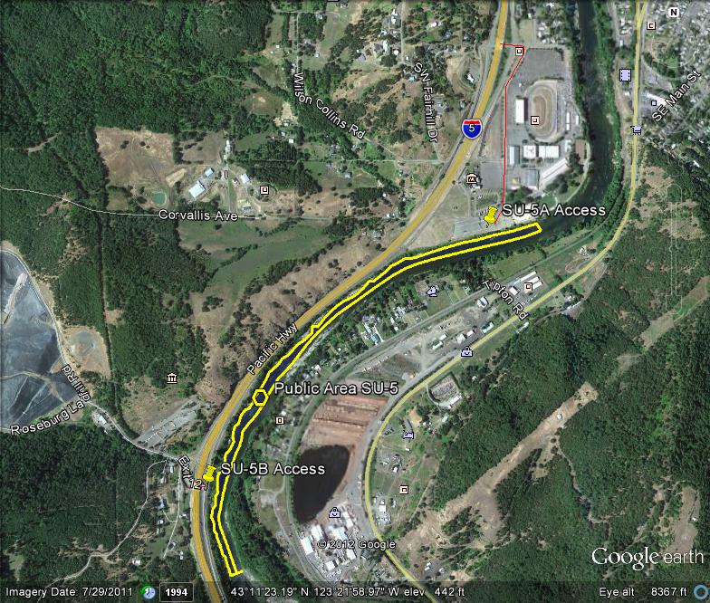
SU-5 Snapshot


GOOGLE EARTH COORDINATES: To view the content from the location links below you will need to have Google Earth installed on your home computer. Download Google Earth

UPSTREAM: 43 10’48.55″N, 123 22’19.76″W
DOWNSTREAM: 43 11’32.23″N, 123 21’27.12″W

Click on thumbnails to view images full size.
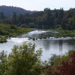
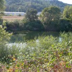
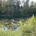
SU-5-1  SU-5-2  SU-5-3

This public area is open on the west-half of river only, from the west bank to the center of the river. The public area is just over a mile and a quarter in length. The location encompasses the south-end of the Douglas County Fairgrounds, but the majority of this area is south of the Fairgrounds. The location is within Douglas County proper, not within city limits. Equipment has to be packed to the river. There is lots of shallow and exposed bedrock at this area.

This location shares a common boundary with location SU-4.

 Access Point SU-5-A

GOOGLE EARTH COORDINATES: 43 11’32.55″N, 123 21’35.71″W

Click on thumbnails to view images full size.
SU-5A-1  SU-5A-2

This access point is beside the RV Park at the Douglas County Fairgrounds.  Equipment must be hand-carried to the water.  There is ample paved parking.

 Access Point SU-5-B

GOOGLE EARTH COORDINATES: 43 10’59.98”N, 123 22’24.74”W

Click on thumbnails to view images full size.
SU-5B-1  SU-5B-2

This access point is right on the I-5 interchange 121, along the east frontage road, just before the northbound onramp. There is paved roadside parking for about a dozen vehicles. All equipment must be hand-packed, and access is challenging.


Upper Klamath :: Upper-mid Klamath :: Mid Klamath :: Lower Klamath
Elk Creek :: Indian Creek :: Scott River :: Thompson Creek
Salmon River Main Stem :: Salmon River North Fork
Master List of Mining Properties


State Land area open to suction dredging under a General Authorization by Department of State Lands and a Water Quality Permit issued by the Department of Environmental Quality

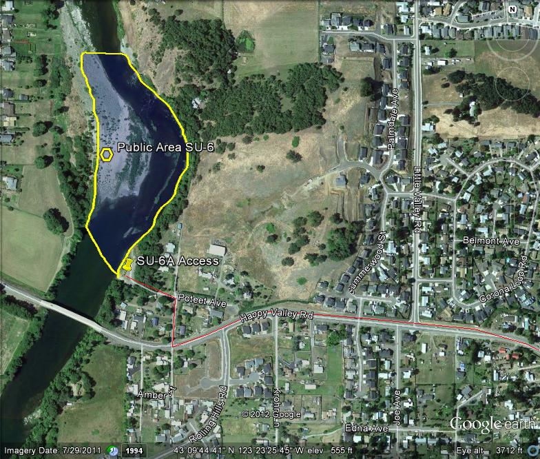
SU-6 Snapshot


GOOGLE EARTH COORDINATES: To view the content from the location links below you will need to have Google Earth installed on your home computer. Download Google Earth

UPSTREAM: 43 09’42.13″N, 123 23’41.74″W
DOWNSTREAM: 43 09’56.21″N, 123 23’40.24″W

Click on thumbnails to view images full size.
SU-6-1  SU-6-2  SU-6-3

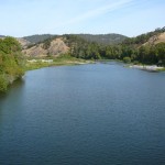
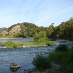
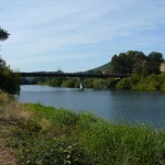
This public area is open from bank to bank, the entire width of the river.  The location is part of Douglas County and is just under a third of a mile in length. It is located at the end of Poteet Avenue.

 Access Point SU-6-A

GOOGLE EARTH COORDINATES: 43 09’41.03″N, 123 23’39.36″W

Click on thumbnails to view images full size.
SU-6A-1  SU-6A-2

This access point is in Douglas County proper.  There is a paved boat ramp and ample paved parking.


Upper Klamath :: Upper-mid Klamath :: Mid Klamath :: Lower Klamath
Elk Creek :: Indian Creek :: Scott River :: Thompson Creek
Salmon River Main Stem :: Salmon River North Fork
Master List of Mining Properties


State Land area open to suction dredging under a General Authorization by Department of State Lands and a Water Quality Permit issued by the Department of Environmental Quality

SU-7 Snapshot


GOOGLE EARTH COORDINATES: To view the content from the location links below you will need to have Google Earth installed on your home computer. Download Google Earth

UPSTREAM: 43 04’52.93″N, 123 23’10.36″W
DOWNSTREAM: 43 04’44.40″N, 123 23’36.56″W

Click on thumbnails to view images full size.
SU-7-1  SU-7-2  SU-7-3  SU-7-4  SU-7-5

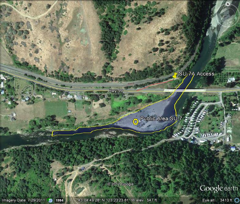
This public access area is open only on the north-half of the river, from the north bank to the center of the river.  It is located in Douglas County proper, and is about a half mile in length.  There is lots of gravel at this location.  There is an RV Park on the opposite side with a golf course that may be dredger-friendly to guests staying there; and if so, could potentially open this location up from bank to bank.

 Access Point SU-7-A

GOOGLE EARTH COORDINATES: 43 04’52.26″N, 123 23’13.76″W

Click on thumbnails to view images full size.
SU-7A-1  SU-7A-2  SU-7A-3

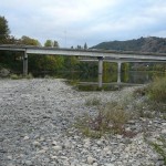
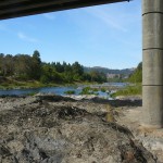
This access is an abandoned highway crossing along the east-side of the current Highway 99 Bridge. There is no vehicle access to the river, but the old roadbed is still paved with room for about fifteen vehicles. It is about 100 feet to the water and the bank is a little steep with good foot paths.

Important: Do not dredge around any of the highway bridge supports.


Upper Klamath :: Upper-mid Klamath :: Mid Klamath :: Lower Klamath
Elk Creek :: Indian Creek :: Scott River :: Thompson Creek
Salmon River Main Stem :: Salmon River North Fork
Master List of Mining Properties


State Land area open to suction dredging under a General Authorization by Department of State Lands and a Water Quality Permit issued by the Department of Environmental Quality

SU-8 Snapshot


GOOGLE EARTH COORDINATES: To view the content from the location links below you will need to have Google Earth installed on your home computer. Download Google Earth

UPSTREAM: 43 04’47.92″N, 123 22’04.75″W
DOWNSTREAM: 43 04’49.84″N, 123 22’05.16″W

Click on thumbnails to view images full size.
SU-8-1  SU-8-2  SU-8-3

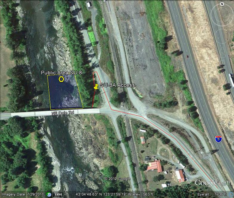
This public access area only includes the east-half of river from the east bank to the river-center.  The location is in Douglas County proper and is just over 200-feet long.  There is shallow and exposed bedrock everywhere.  The ranch-owner just upstream of the bridge is not dredger-friendly.

 Access Point SU-8-A

GOOGLE EARTH COORDINATES: 43 04’50.26″N, 123 22’01.07″W

Click on thumbnails to view images full size.
SU-8A

This public access point is a 4×4 road ending just under the bridge, off of Roberts Mountain Road.  There is parking for only two or three vehicles.  All equipment must be hand-packed to the river over exposed bedrock.


Upper Klamath :: Upper-mid Klamath :: Mid Klamath :: Lower Klamath
Elk Creek :: Indian Creek :: Scott River :: Thompson Creek
Salmon River Main Stem :: Salmon River North Fork
Master List of Mining Properties


State Land area open to suction dredging under a General Authorization by Department of State Lands and a Water Quality Permit issued by the Department of Environmental Quality

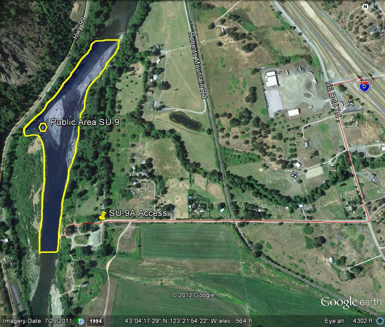
SU-9 Snapshot


GOOGLE EARTH COORDINATES: To view the content from the location links below you will need to have Google Earth installed on your home computer. Download Google Earth

UPSTREAM: 43 04’07.41″N, 123 22’16.00″W
DOWNSTREAM: 43 04’30.70″N, 123 22’07.17″W

Click on thumbnails to view images full size.
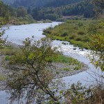
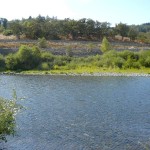
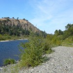
SU-9-1  SU-9-2  SU-9-3

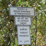
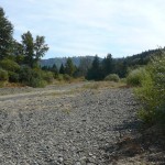
This public access area is open from bank to bank, the entire width of the river.  The location is in Douglas County proper and is posted by Oregon Department of Transportation (ODOT) as a public day use area.  It is just over 2/3rds of a mile in length.  There is lots of gravel at this location.

 Access Point SU-9-A

GOOGLE EARTH COORDINATES: 43 04’09.26″N, 123 22’14.45″W

Click on thumbnails to view images full size.
SU-9A-1  SU-9A-2  SU-9A-3

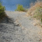
This is gravel public access point is at the end of paved Weigle Rd.  There is ample parking with 4×4 access to the riverbank, or a short pack-in for 2-wheel-drive vehicles.  It is posted as a day-use area by ODOT.  The downstream rancher is not dredger-friendly.  Please respect his private property.


Upper Klamath :: Upper-mid Klamath :: Mid Klamath :: Lower Klamath
Elk Creek :: Indian Creek :: Scott River :: Thompson Creek
Salmon River Main Stem :: Salmon River North Fork
Master List of Mining Properties


Tags