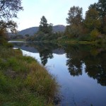
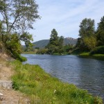
State Land area open to suction dredging under a General Authorization by Department of State Lands and a Water Quality Permit issued by the Department of Environmental Quality
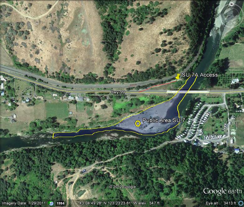
GOOGLE EARTH COORDINATES: To view the content from the location links below you will need to have Google Earth installed on your home computer. Download Google Earth
UPSTREAM: 43 04’52.93″N, 123 23’10.36″W
DOWNSTREAM: 43 04’44.40″N, 123 23’36.56″W
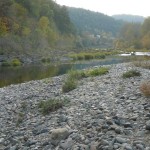
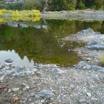
This public access area is open only on the north-half of the river, from the north bank to the center of the river. It is located in Douglas County proper, and is about a half mile in length. There is lots of gravel at this location. There is an RV Park on the opposite side with a golf course that may be dredger-friendly to guests staying there; and if so, could potentially open this location up from bank to bank.
Access Point SU-7-A
GOOGLE EARTH COORDINATES: 43 04’52.26″N, 123 23’13.76″W
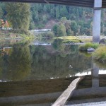
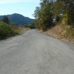
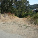
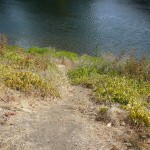
This access is an abandoned highway crossing along the east-side of the current Highway 99 Bridge. There is no vehicle access to the river, but the old roadbed is still paved with room for about fifteen vehicles. It is about 100 feet to the water and the bank is a little steep with good foot paths.
Important: Do not dredge around any of the highway bridge supports.
Upper Klamath :: Upper-mid Klamath :: Mid Klamath :: Lower Klamath
Elk Creek :: Indian Creek :: Scott River :: Thompson Creek
Salmon River Main Stem :: Salmon River North Fork
Master List of Mining Properties


