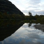
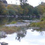
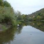
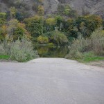
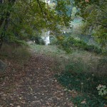
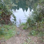
State Land area open to suction dredging under a General Authorization by Department of State Lands and a Water Quality Permit issued by the Department of Environmental Quality
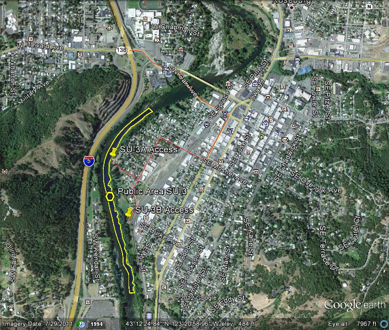
GOOGLE EARTH COORDINATES: To view the content from the location links below you will need to have Google Earth installed on your home computer. Download Google Earth
UPSTREAM: 43 11’56.59″N, 123 21’18.54″W
DOWNSTREAM: 43 12’37.19″N, 123 21’12.86″W
This public area is only open on the east-half of the river, from the east bank to the center of the river. This location encompasses the two city parks of Micelli Park and Templin Beach Park in the city of Roseburg and takes in nearly a mile of riverfront.
Important note: The city noise ordinance must be followed; mufflers are required and operating hours are 7am-to-7pm Mon-Sat. No dredging allowed on Sundays and Holidays. Cigarette smoking and the consumption of alcohol are not allowed in Roseburg city parks and violators will be cited.
Access Point SU-3-A
GOOGLE EARTH COORDINATES: 43 12’26.01″N, 123 21’23.60″W
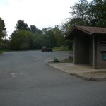
This access point is the paved parking lot for Templin Beach Park, off Templin Avenue. There is a paved boat ramp at this location. This is a fee parking and launching area with plenty of parking and public restrooms.
Access Point SU-3-B
GOOGLE EARTH COORDINATES: 43 12’12.26″N, 123 21’19.16″W
This access point is the paved parking lot for Micelli Park, at the end of Mecelli Street, located at the baseball fields. You must pack all equipment to the river.
Upper Klamath :: Upper-mid Klamath :: Mid Klamath :: Lower Klamath
Elk Creek :: Indian Creek :: Scott River :: Thompson Creek
Salmon River Main Stem :: Salmon River North Fork
Master List of Mining Properties


