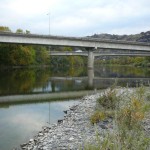
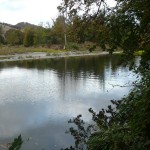
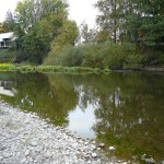
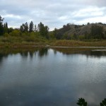
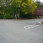
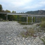
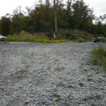
State Land area open to suction dredging under a General Authorization by Department of State Lands and a Water Quality Permit issued by the Department of Environmental Quality
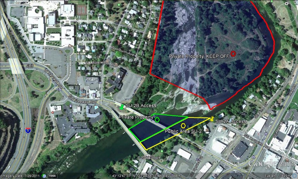
GOOGLE EARTH COORDINATES: To view the content from the location links below you will need to have Google Earth installed on your home computer. Download Google Earth
UPSTREAM: 43 12’41.62″N, 123 21’00.33″W
DOWNSTREAM: 43 12’45.66″N, 123 20’51.64″W
This public area is only the East ½ of the river, from the East bank to the center of the river only. This location is in the City of Roseburg and is approximately. 800ft of river. This location encompasses the Riverside Park in the City of Roseburg, including approximately 800feet of river. It is important that you remain within the confines of the public property, because it is surrounded by private property.
At this time, we have permission to dredge on the west side of the river at this location from the private property owners. Please treat this area with all due respect as this permission may be revoked at any time if anyone disrespects the property.
Important note: The city noise ordinance must be followed; mufflers are required and operating hours are 7am-to-7pm Mon-Sat, No dredging allowed on Sundays and Holidays. Cigarette smoking and the consumption of alcohol are not allowed in Roseburg city parks and violators will be cited.
Access Point SU-2-A
GOOGLE EARTH COORDINATES: 43 12’42.84″N, 123 20’48.50″W
This access point is at the Roseburg visitor’s center on Spruce Street. Parking is limited, and you must pack equipment to the river. There is a path along the entire river front, but access is steep and challenging.
Access Point SU-2-B
GOOGLE EARTH COORDINATES: 43 12’45.72”N, 123 21’04.84”W
This access point entry is located at the west-end, right between where the one-way bridges of Oak and Washington Avenues come together at Madrone Street. This access is private property that we have permission to use at this time. That permission may be revoked at any time if anyone mistreats this property. You can drive right to the water’s edge onto the gravel bar on the west side of the river. A 4×4 truck is recommended, because it is possible to get stuck in river rock. But people do drive 2-wheel-drive trucks to the waters edge and do not get stuck.
The island is private property as is the dry riverbed. Do not drive on the island at any time for any reason.
Upper Klamath :: Upper-mid Klamath :: Mid Klamath :: Lower Klamath
Elk Creek :: Indian Creek :: Scott River :: Thompson Creek
Salmon River Main Stem :: Salmon River North Fork
Master List of Mining Properties


