

Google Earth Coordinates: 42 25’ 48.7”N, 123 10’ 14.8W
To view the content from the link above you will need to have Google Earth installed on your home computer. Download Google Earth
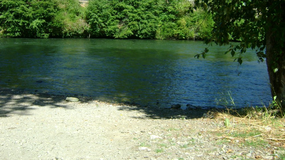
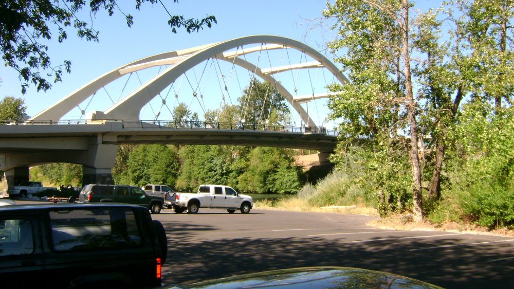
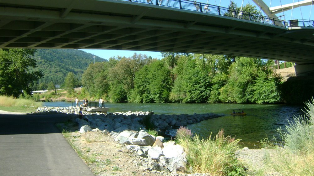
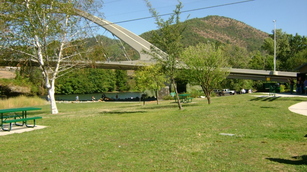
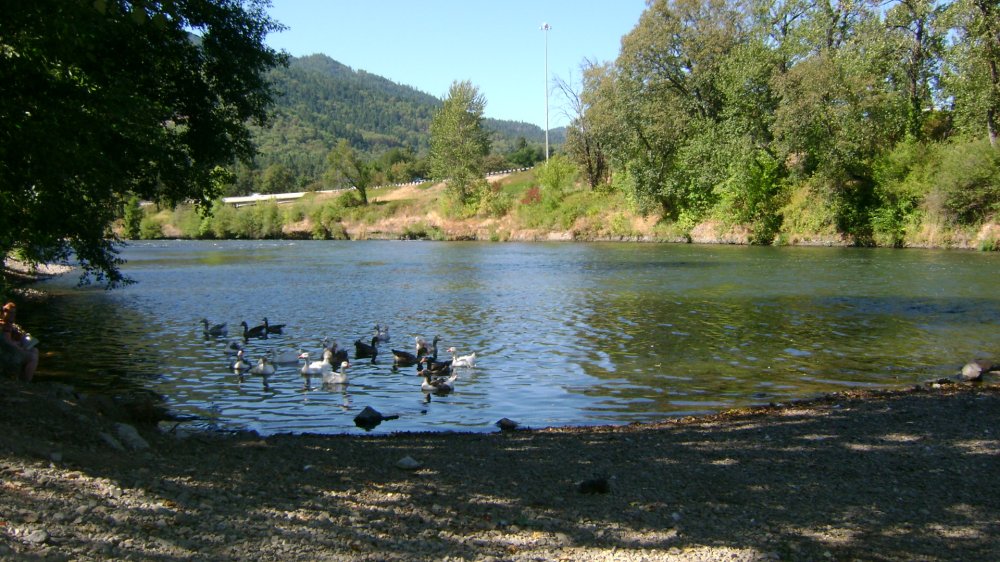
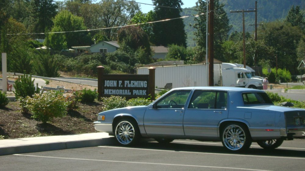
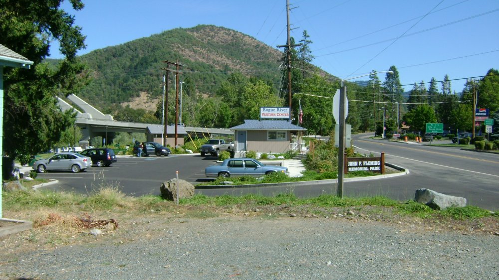
River Access, Boat Launch Ramp, Parking, Bathrooms
This seems to be a favorite launch area for local river users. It is very spacious and has a picnic area, lots and lots of parking (about 100 spaces), 2 boat launch areas, a bank of horseshoe pits (see image) and a Visitors Center is right there.
Click on thumbnails to view images full size.

Upper Klamath :: Upper-mid Klamath :: Mid Klamath :: Lower Klamath
Elk Creek :: Indian Creek :: Scott River :: Thompson Creek
Salmon River Main Stem :: Salmon River North Fork
Master List of Mining Properties


