

Google Earth Coordinates: 42 26’ 20.5”N, 123 23’ 17.8W
To view the content from the link above you will need to have Google Earth installed on your home computer. Download Google Earth

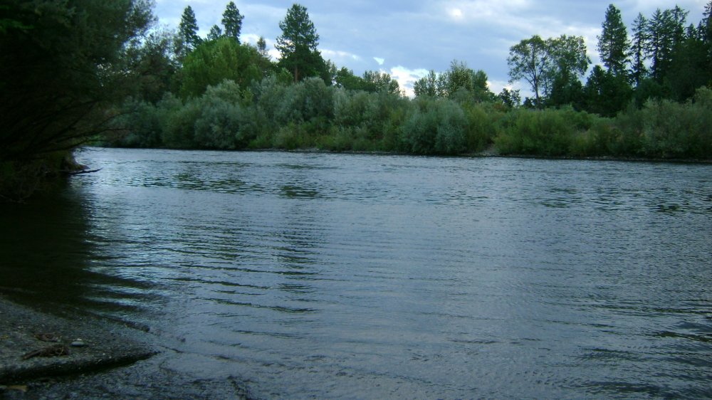
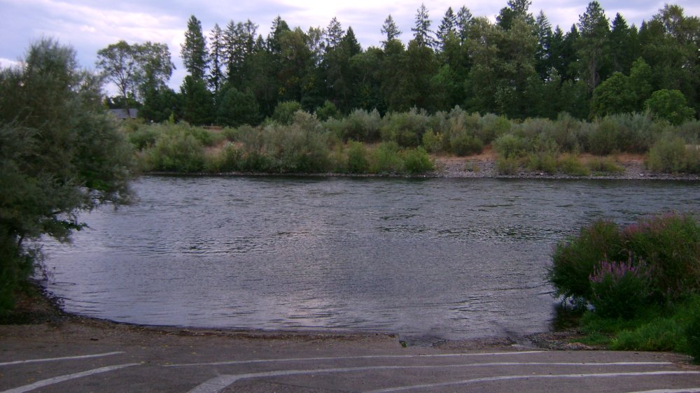
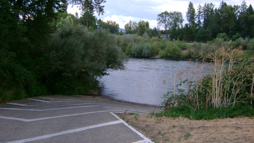
River Access, Boat Launch Ramp, Parking
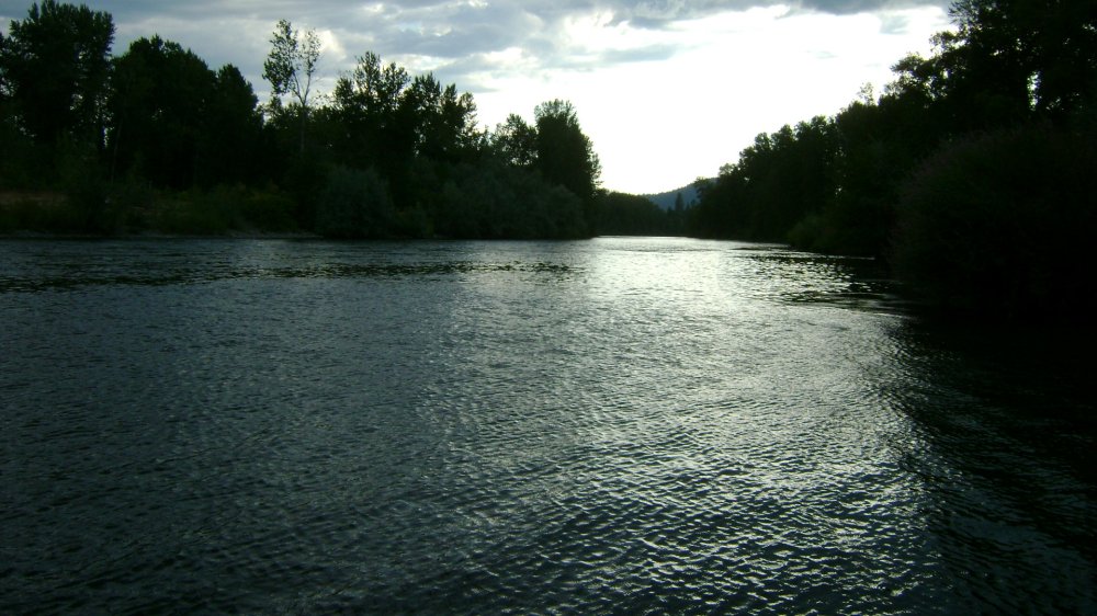
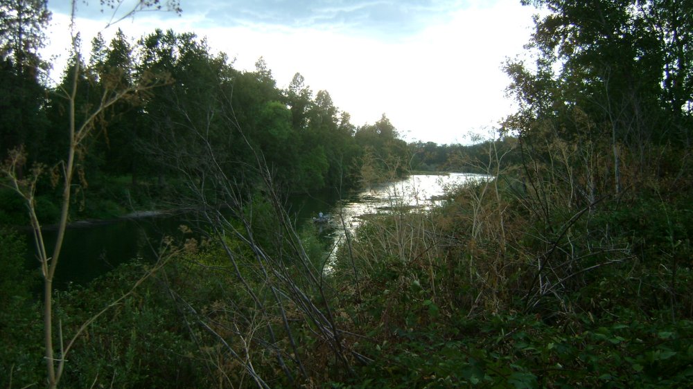
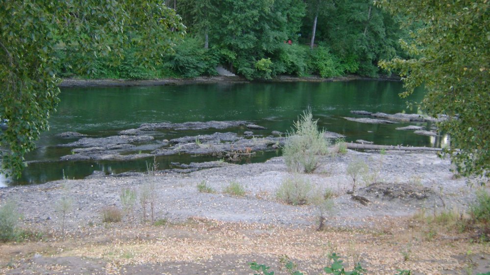
Some of the images were taken just down the road from the above access point, to show the type of water and bedrock; this is within a 30mph boating zone.
Click on thumbnails to view images full size.
Upper Klamath :: Upper-mid Klamath :: Mid Klamath :: Lower Klamath
Elk Creek :: Indian Creek :: Scott River :: Thompson Creek
Salmon River Main Stem :: Salmon River North Fork
Master List of Mining Properties


