Important note concerning Mining & Dredging Seasons on this Property
Google Earth Coordinates: 41 44’31.4″N 123 21’3.2″W
To view the content from the link above you will need to have Google Earth installed on your home computer. Download Google Earth
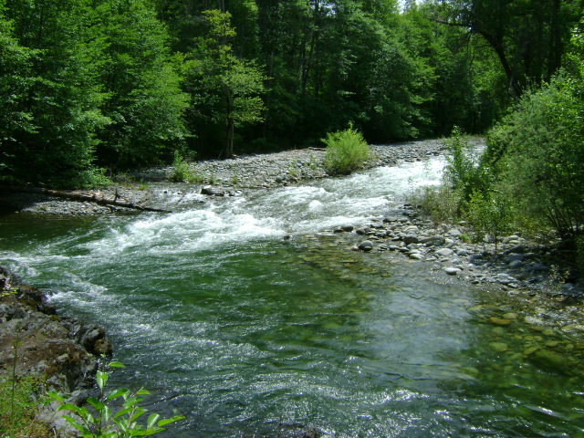
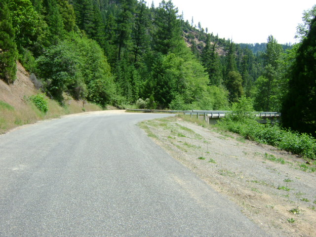
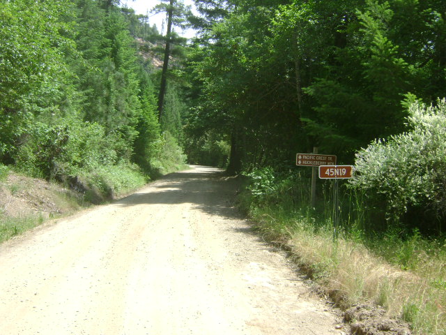
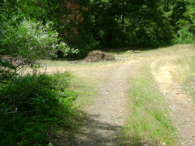
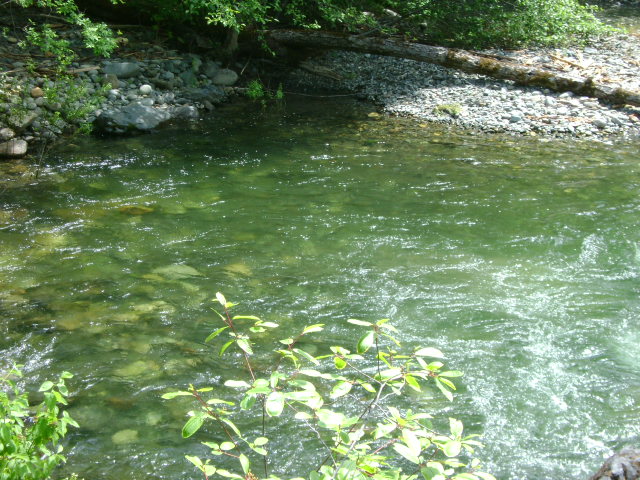
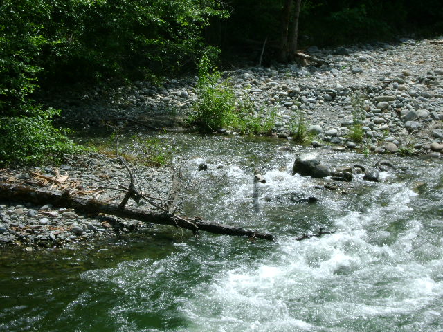
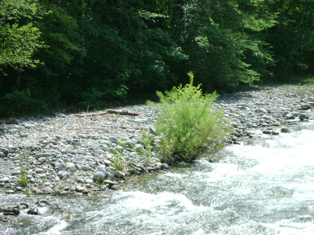
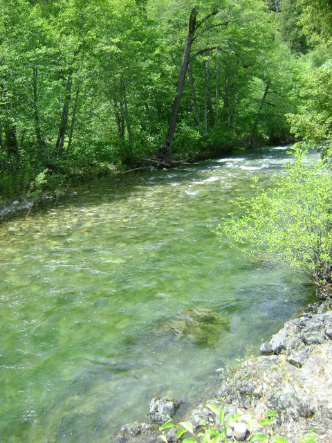
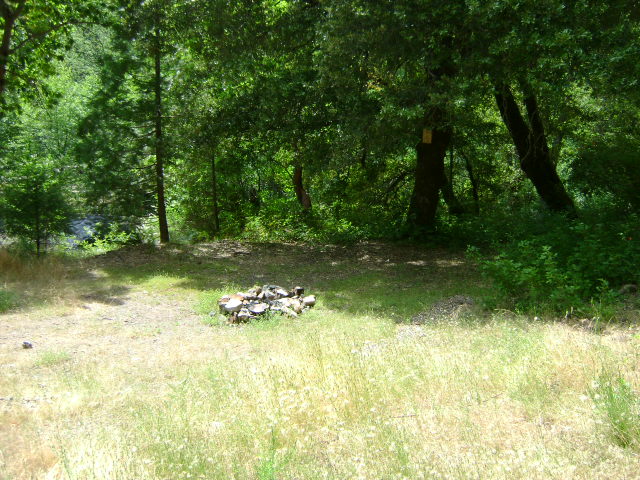
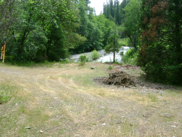
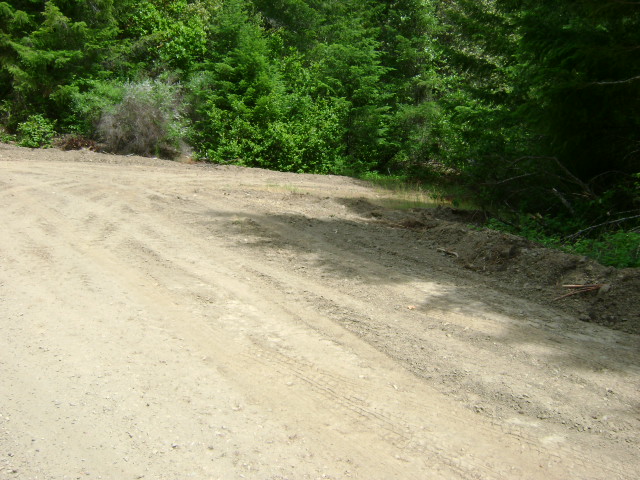
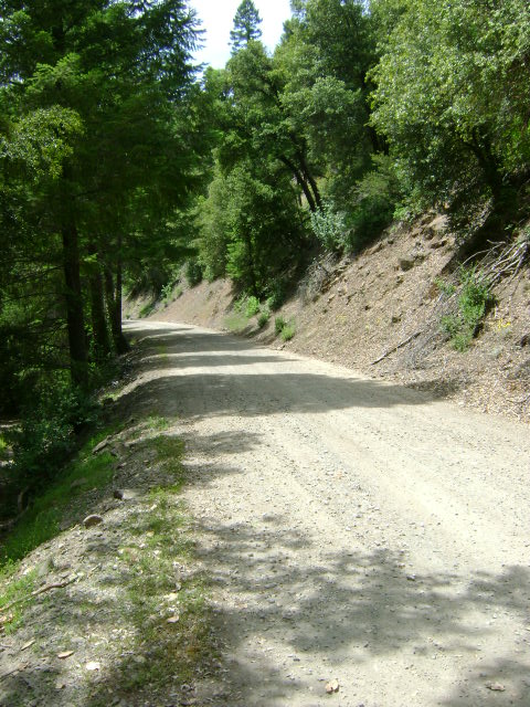
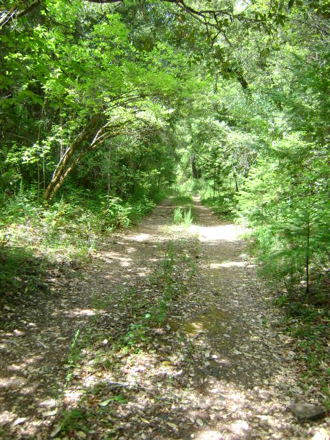
E-2 EAST FORK OF ELK CREEK CLAIMS – can be located by turning left on Forest Service road #45N19, just before the 5-mile bridge on Elk Creek. The first creek access and camping area is located about 1/10th of a mile up the road. Watch for the turn-off. The road actually leads to a very nice camping spot along the main fork of Elk Creek. As there is very limited room to turn things around in there, we suggest you look before driving in. The second access and camping area is located 3/4 of a mile up the same Forest Service road #45N19. There is a New 49’er directional sign pointing the way. The access road is primitive and narrow, and we recommend you look before driving into this area. There is very little room at the bottom to turn a trailer around. There is no lower boundary posted, because these claims connect to the E-3 Elk Creek claims at the confluence of the main stem of Elk Creek. The upper creek boundary is posted alongside the road 3/10 of a mile beyond a green gate. There is also an access point and small campground at this location. The remainder of the creek is reasonably accessible from the main road. Watch out for poison oak.
PROSPECTS: This is an excellent place to learn how to dredge, because the creek is shallow, boulders are generally not a big problem, the gravel is generally shallow to bedrock-and there are gold nuggets! The nuggets are associated with hard-packed streambed and lie along the bedrock in the cracks and traps. The claim is quite long, and for the most part has not been sampled or mined. The gold tends to be a bit spotty, so you have to have some patience. When you find it, it tends to be in small pockets along the bedrock. The prospects for gold recovery on these claims are good!


