Important note concerning Mining & Dredging Seasons on this Property
Google Earth Coordinates: 41 41’27.8″N 123 21’17.3″W
To view the content from the link above you will need to have Google Earth installed on your home computer. Download Google Earth
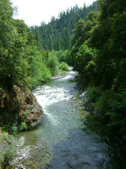
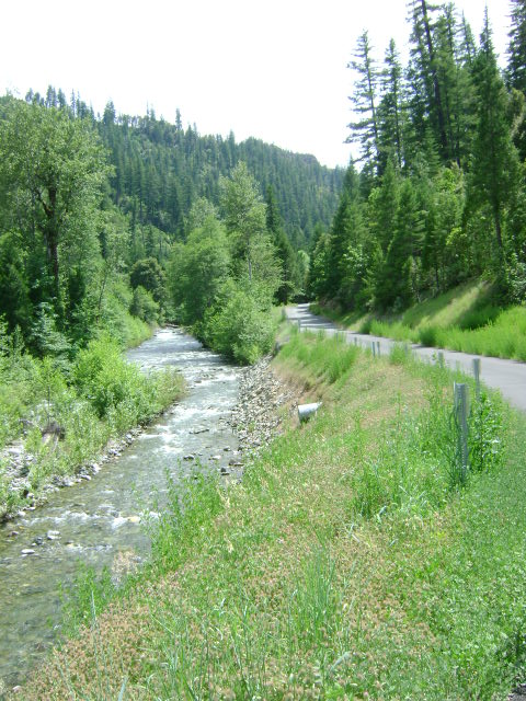
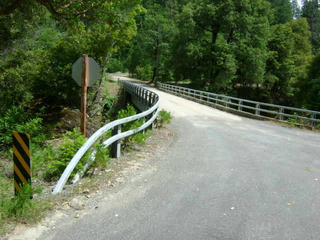
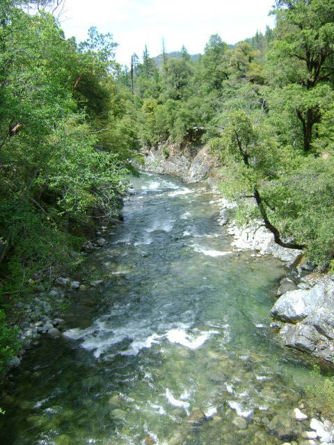
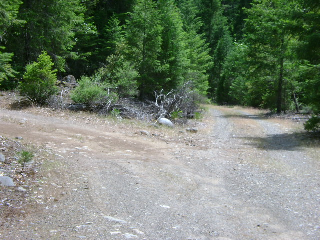
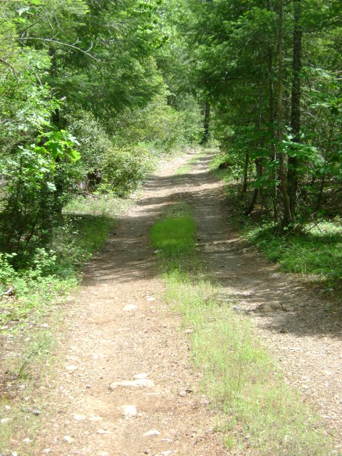
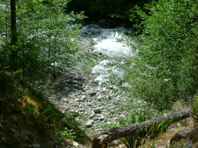
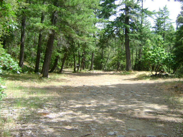
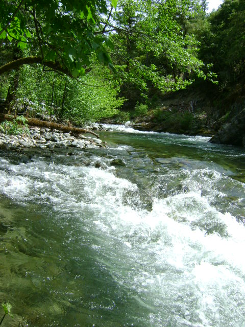
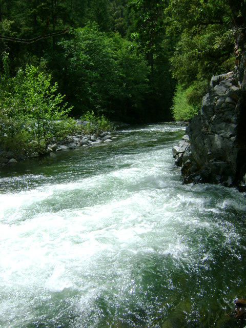
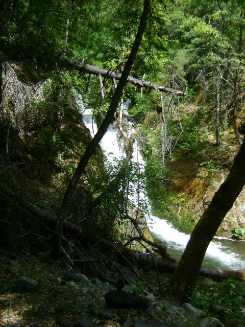
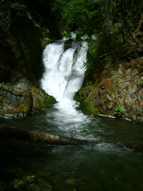
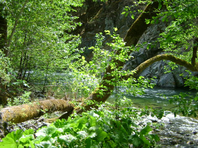
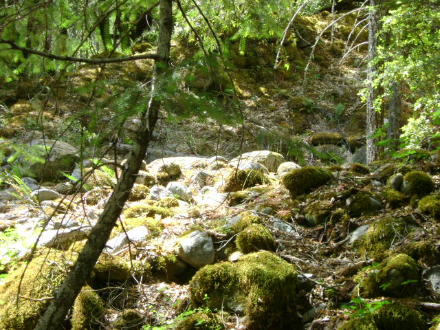
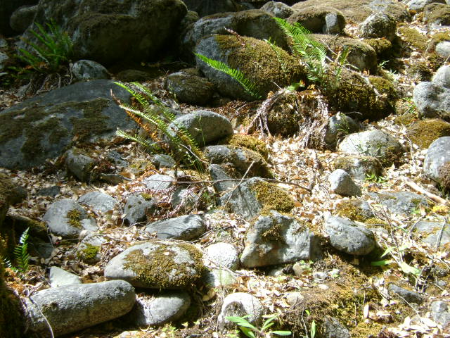
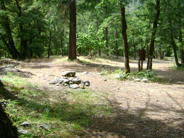
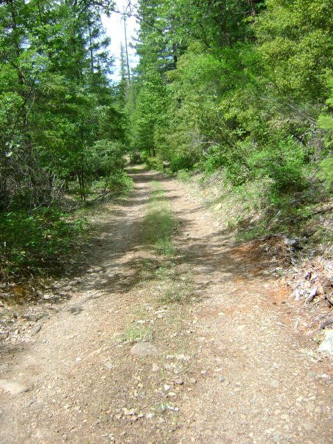
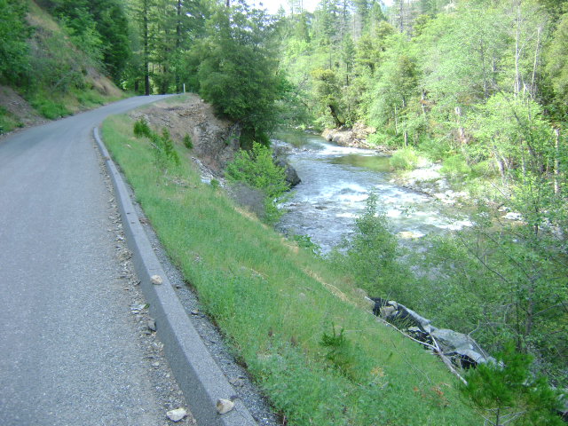
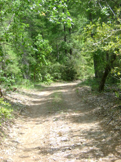
E-4 ELK CREEK CLAIMS AT THE 10-MILE BRIDGE – can be reached by driving a little more than nine miles up Elk Creek Road from Highway 96, and watching for the first substantial road that turns left. There is a bridge, which is located at about the center of our claims. After crossing the bridge, you can turn right or left to gain access to camping and other creek access points further up or downstream along Elk Creek. If you go in the upstream direction, you will find the access road and camping areas extend up to Doolittle Creek. If you go downstream, you will be turning left on Forest Service road #15N02, and you will find the lower creek boundary posted on a tree 6/10 of a mile downstream alongside the road. There are various primitive access roads extending down toward the creek. The last one is best and is marked with a New 49’er directional sign. This access road extends directly to the creek. The upper end of the creek claims can be located by continuing upstream on Elk Creek Road. The upper creek boundary is posted on a tree alongside the road 1/2 mile upstream from the 10-mile bridge. There is another access road located a short distance downstream from the bridge. This road dead-ends at a parcel of private property. As our claim butts up to the private property, our boundary sign can be found on a tree alongside the road.
PROSPECTS: The area has a rich gold mining history, with old mine workings along the banks near Doolittle Creek. We had several members say that they found good gold while dredging in the creek near the lowest access point toward the lower end of the claim.


