Important note concerning Mining & Dredging Seasons on this Property
Google Earth Coordinates: 41 53’37.1″N 123 26’4.5″W
To view the content from the link above you will need to have Google Earth installed on your home computer. Download Google Earth
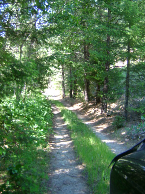
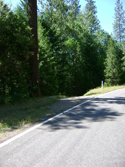
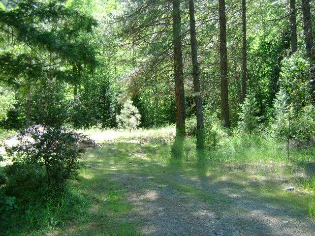
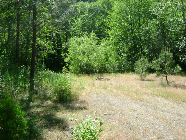
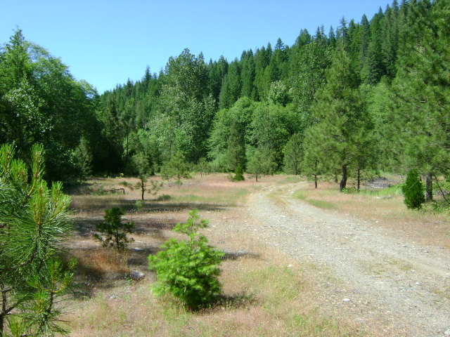
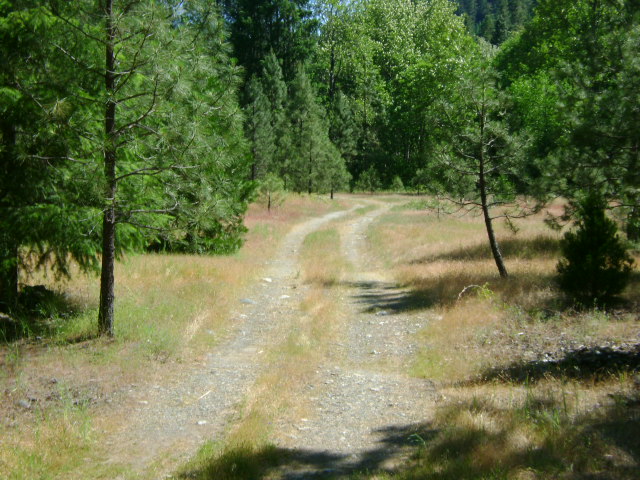
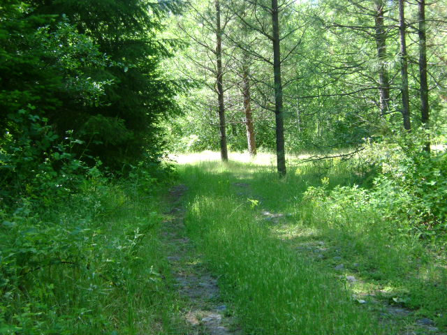
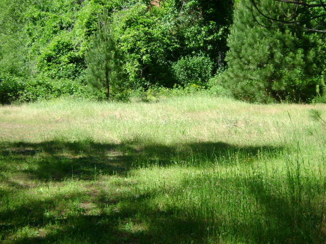
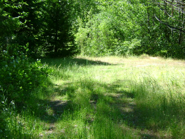
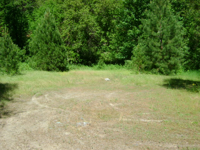
I-1 LOWER MAIN INDIAN CREEK CLAIM – is located about 8 miles up Indian Creek Road from Happy Camp. The lower boundary is located 1/2 mile upstream from the Indian Creek Bridge at South Fork. There is an access road and campground that leads off to the left, 8/10 of a mile up Indian Creek Road from the bridge at South Fork. The up-creek boundary of the claim is 1.8 miles up Indian Creek Road from the bridge at South Fork-or 2/10 of a mile up Indian Creek Road from the Forest Service #18N180 road. There are several paths which have been created to gain access to the creek.
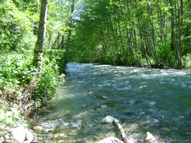
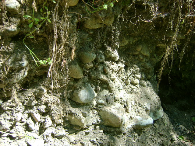
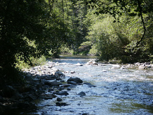
PROSPECTS: Toward the upper end of these claims, several members were doing quite well recovering fine gold and flakes off a flood layer approximately 18 inches deep into the gravel. Bedrock could be much deeper in some locations. Indian creek has a very proven record of good gold deposits. It is not necessary to reach bedrock, because there is also a flood layer on these claims that is paying well in fine and flake gold.