Important note concerning Mining & Dredging Seasons on this Property
Google Earth Coordinates: 41 52’32.1″N 123 26’20.2″W
To view the content from the link above you will need to have Google Earth installed on your home computer. Download Google Earth
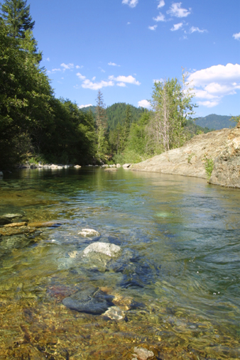
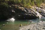
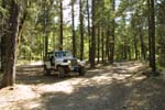
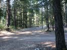
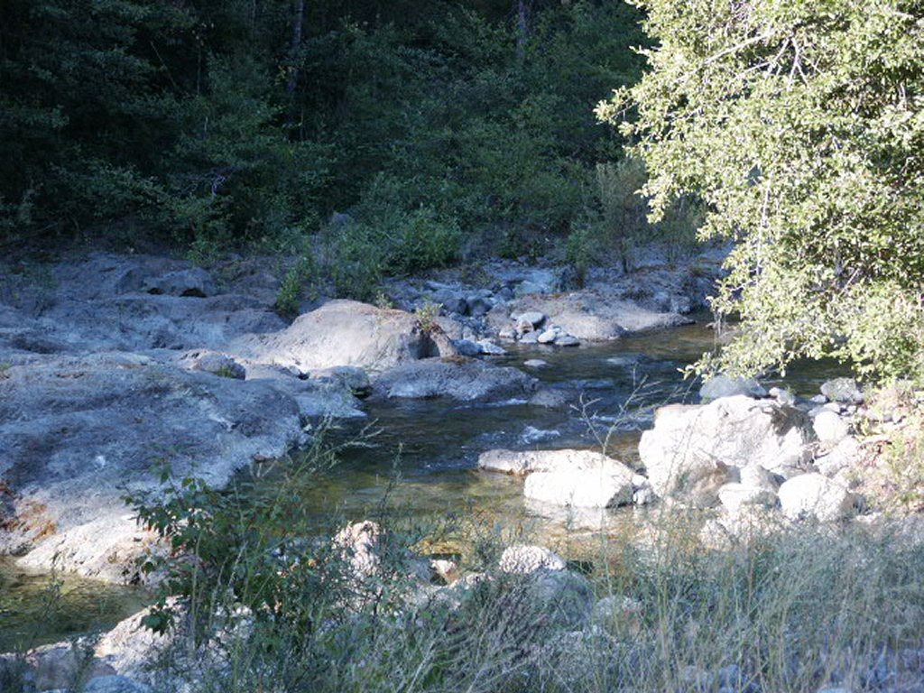
I-4 SOUTH FORK OF INDIAN CREEK CLAIMS – can be located by traveling 7.4 miles up Indian Creek Road from Happy Camp, and turning left to drive across the Indian Creek Bridge (South Fork Road). The South Fork road splits 1/10 of a mile up from the bridge. These claims can be accessed going in either direction. You can reach a good camping area and creek access point by taking the right fork in the road, and traveling 4/10 of a mile, to turn left onto a primitive access road. This road will lead you to the creek and camping area. Watch for our directional signs. Following the left-hand fork of South Fork road will put you on Forest Service road #17N32. Shortly thereafter, you will cross a South Fork bridge. The lower boundary of our South Fork claim is located just downstream from this bridge. The upper creek boundary adjoins private property and is very well marked. There is also a side creek (Bald Hornet Creek) which enters South Fork from the left side when looking upstream. This side-creek also carries gold, and is part of our South Fork claim. Watch for New 49’er claim directional signs. Please do not do any mining in or around the (very) popular swimming hole that is around mid-claim.
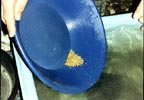
PROSPECTS: The entire South Fork claim has been producing excellent gold for our members using dredges and gold pans. The gold has been found in hard- packed streambed along the bedrock. Much of the upper-end of the claim has been dredged. The lower end is pretty-much un-worked. Look for hard packed natural streambed. The gold is nuggety and jewelry-grade. With all the exposed bedrock, this is a good location for crevicing and sniping. Make sure to break open all cracks in the bedrock! Also, the side creek carries good gold, and for the most part, has not yet been prospected or mined. Several members were sluicing up this side creek and did very well. Overall, the prospects in this area are very good in the areas which still have hard-packed streambeds in place.


