Important note concerning Mining & Dredging Seasons on this Property
Google Earth Coordinates: 41 49’5.1″N 123 7’51.1″W
To view the content from the link above you will need to have Google Earth installed on your home computer. Download Google Earth
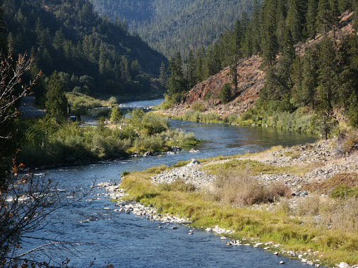
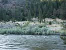
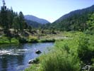
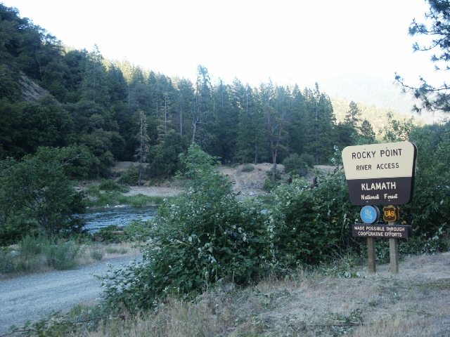
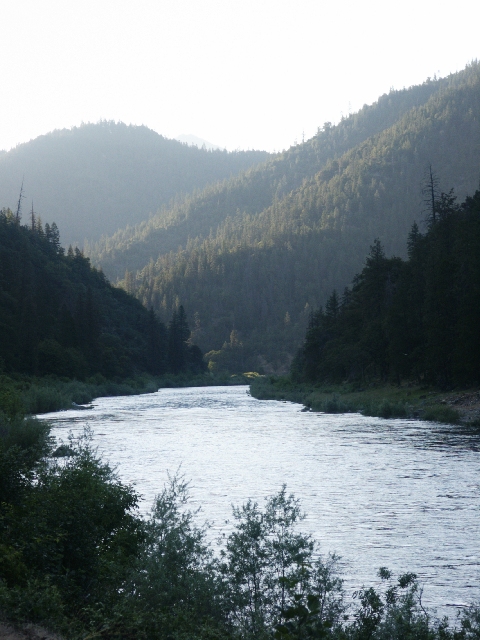
K-11 SCHUTTS GULCH CLAIMS – The downriver boundary (mile marker 63.58) is located about 3 miles upriver from where Highway 96 crosses Seiad Creek. It is located directly at the confluence of Schutt’s Gulch–which enters from the far side of the river. A lower boundary sign is on a post near the highway, directly across from Schutts Gulch. The upriver boundary (mile marker 64.73) is located about 1.5 miles upriver, adjoining private property where you will see the first home between Highway 96 and the river. The upriver boundary is posted on a tree alongside the highway. There is a small camping and USFS river access area (named “Rocky Point” at mile marker 64.46) toward the upper end of the claim (two week camping limit). Please don’t block the river access or chemical toilet! Use of the far-side camping area requires members or guests to provide your own porta-potty to meet sanitary requirements. The far side of the river, with a large campground (no extended camping permitted–two week limit) used to be accessible from Ladd Road in Seiad Valley, just upriver from the bridge where Highway 96 crosses the river. But parts of this road have been washed out and it gets very rough. We strongly suggest you look the road over once before deciding to pull any trailer to the camp-area on the other side.
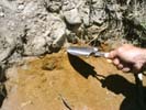
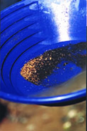
PROSPECTS: This claim has been a substantial producer of gold for our members, from top to bottom. River gravels are generally shallow to bedrock or false bedrock. Nuggets and jewelry gold have been reported. The far side, upper area has been one of the Club’s best producers for mining out of the water. Look for gold in the top 6 to 8 inches of gravel. Most of the claim has yet to be tested.
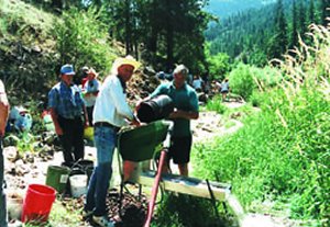
The Club sponsored a Group Dredging Project on this claim during the 2004 season, and then followed with a second project a few months later.
Upper Klamath :: Upper-mid Klamath :: Mid Klamath :: Lower Klamath
Elk Creek :: Indian Creek :: Scott River :: Thompson Creek
Salmon River Main Stem :: Salmon River North Fork
Master List of Mining Properties


