Important note concerning Mining & Dredging Seasons on this Property
Google Earth Coordinates: 41 47’33.5″N 123 22’2.0″W
To view the content from the link above you will need to have Google Earth installed on your home computer. Download Google Earth
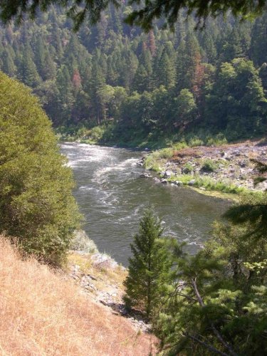
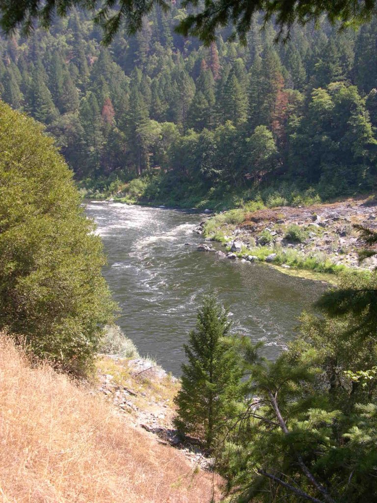
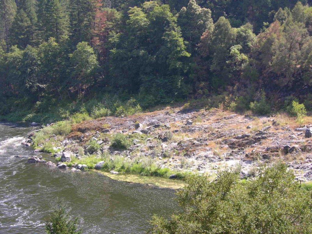
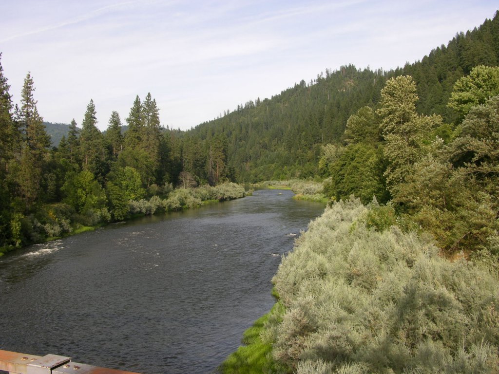
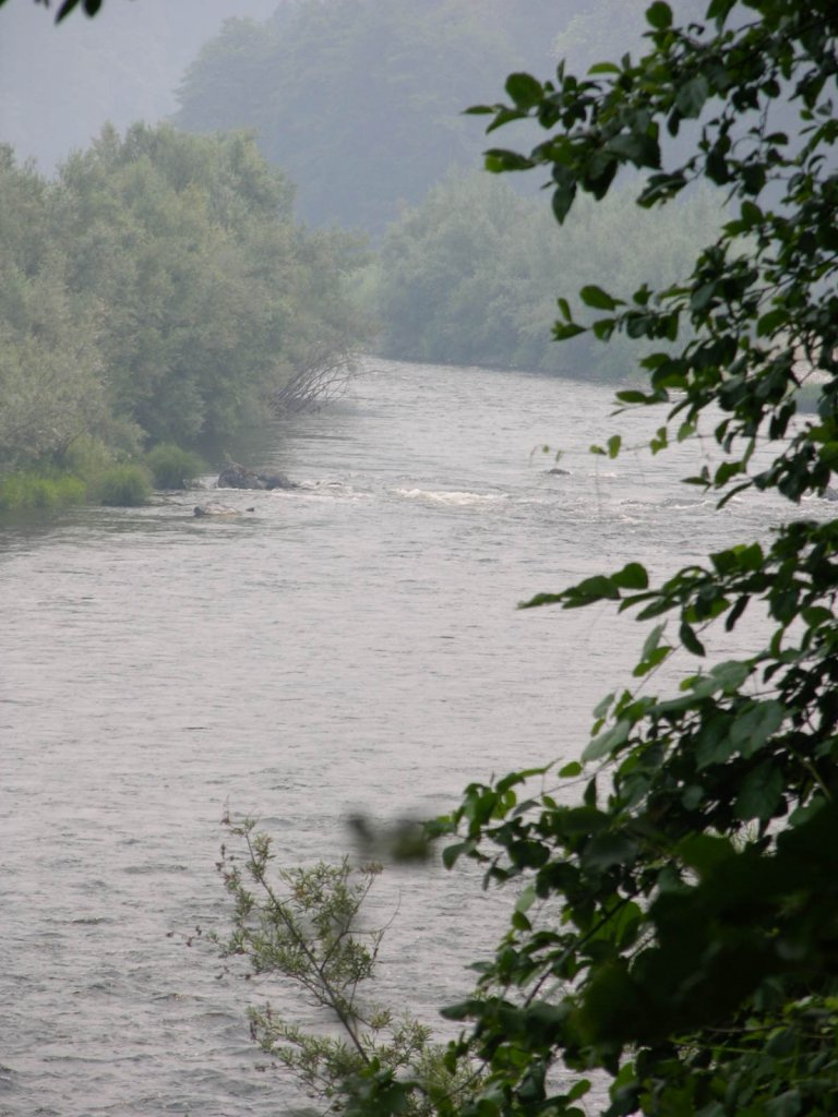
K-21 HAPPY CAMP CLAIMS – The upper boundary adjoins our K-20 property just upriver from the old water pumping station for the Stone Forest Mill. The lower boundary adjoins the Club’s Curly Jack Claim a short distance downstream from the confluence on Indian Creek. The lower-end of this claim is accessible from both sides of the river, with the exception of a few parcels of private property which are clearly visible. To access the far side of the river, cross the Klamath River bridge just below Happy Camp and turn left on China Grade road. There is an access road 4/10 of a mile up China Grade Road from the bridge. The access road (may require some brush-cutting) cuts off to the left, just beyond a house. There is a small campground at the end of the road. The claim is also accessible from the Happy Camp Community Park-down by the Lions Club. The upper portion of the claim, for the most part, is difficult to access, because the old mill property is a barrier between the river and Highway 96.
Here it is on Google Earth
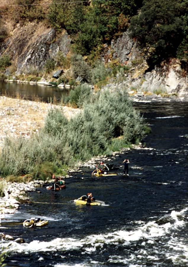
PROSPECTS: Some dredgers recovered a large volume of gold on the upriver potion of the claim on the Highway-96 side of the river, in shallow gravel. They recovered lots of jewelry gold and large nuggets. A few members did some testing just below, during the early years of the Club. But they gave it up due to the difficult access. Several very rich pay-streaks have been previously discovered in the center of the river near the confluence of Indian Creek.
High-banking and Loving It. “Rip” Ripple’s story
Upper Klamath :: Upper-mid Klamath :: Mid Klamath :: Lower Klamath
Elk Creek :: Indian Creek :: Scott River :: Thompson Creek
Salmon River Main Stem :: Salmon River North Fork
Master List of Mining Properties


