

Important note concerning Mining & Dredging Seasons on this Property
Google Earth Coordinates: 41°44’24.29″N123°24’32.38″W
To view the content from the link above you will need to have Google Earth installed on your home computer. Download Google Earth
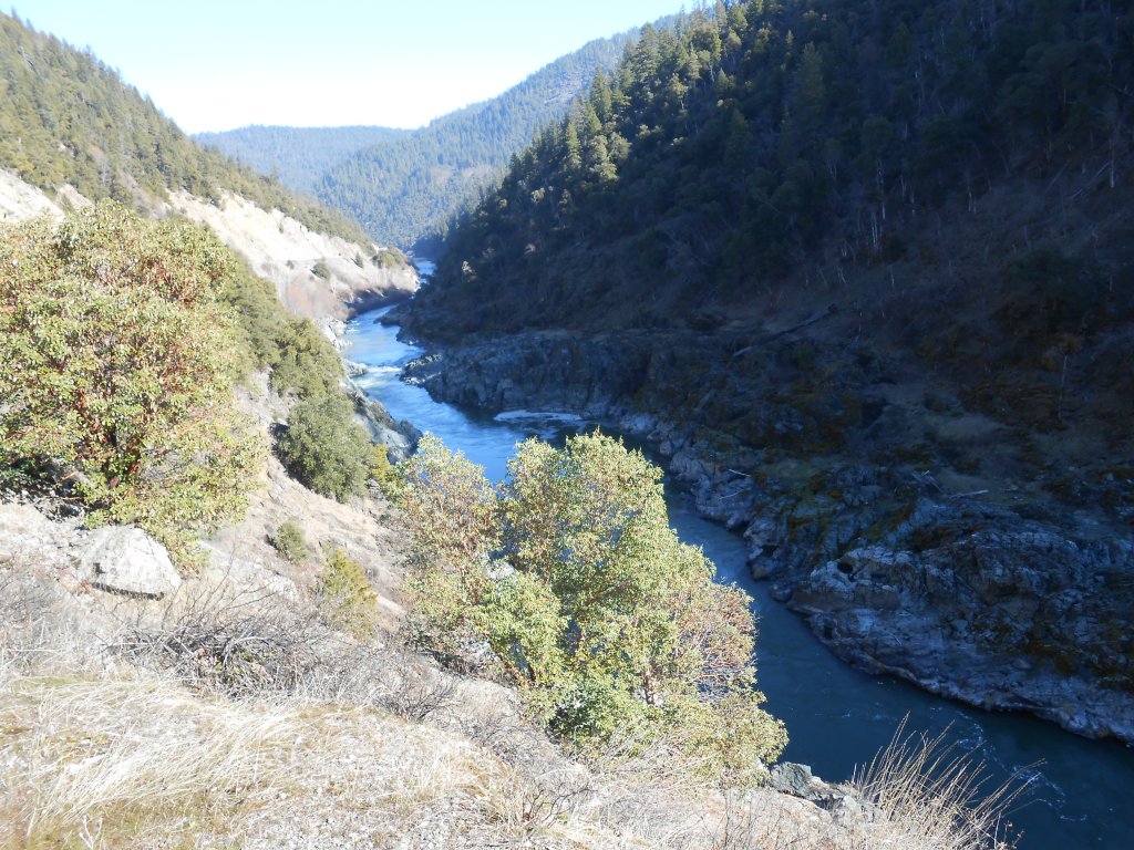
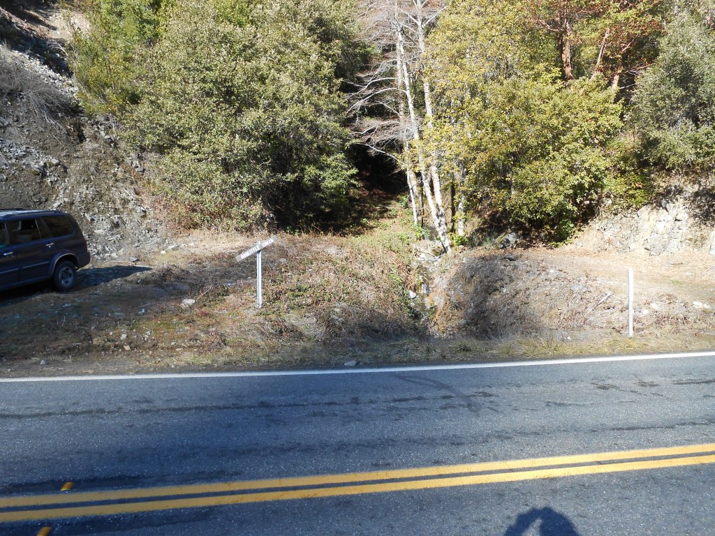
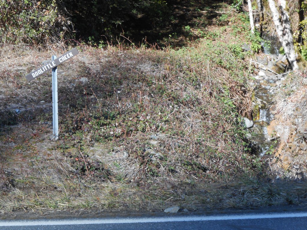
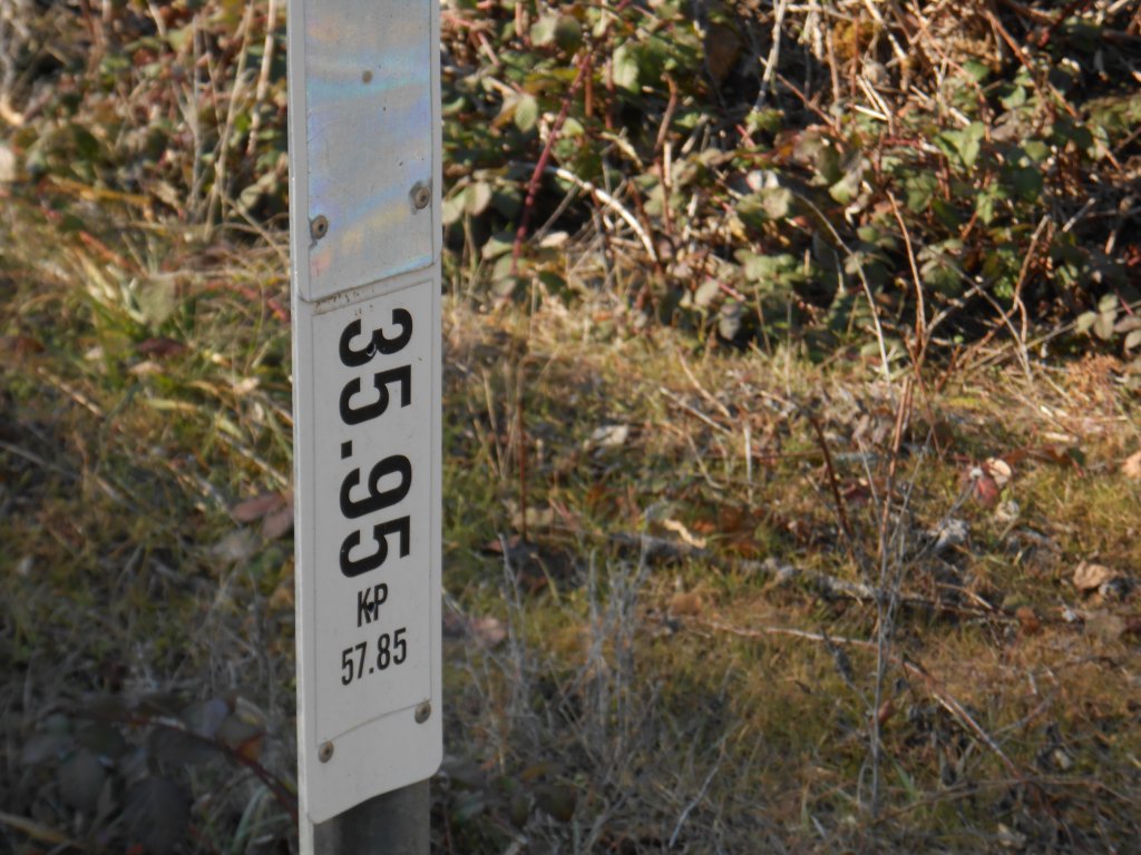
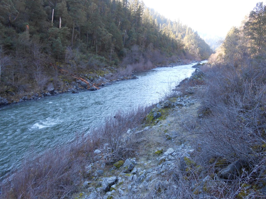
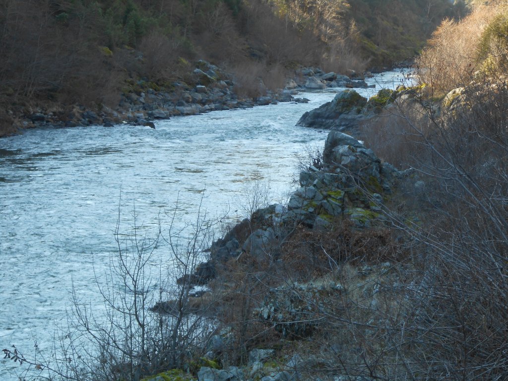
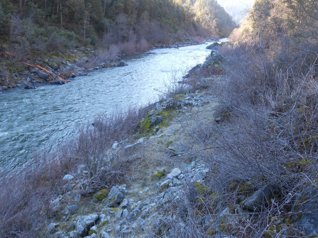
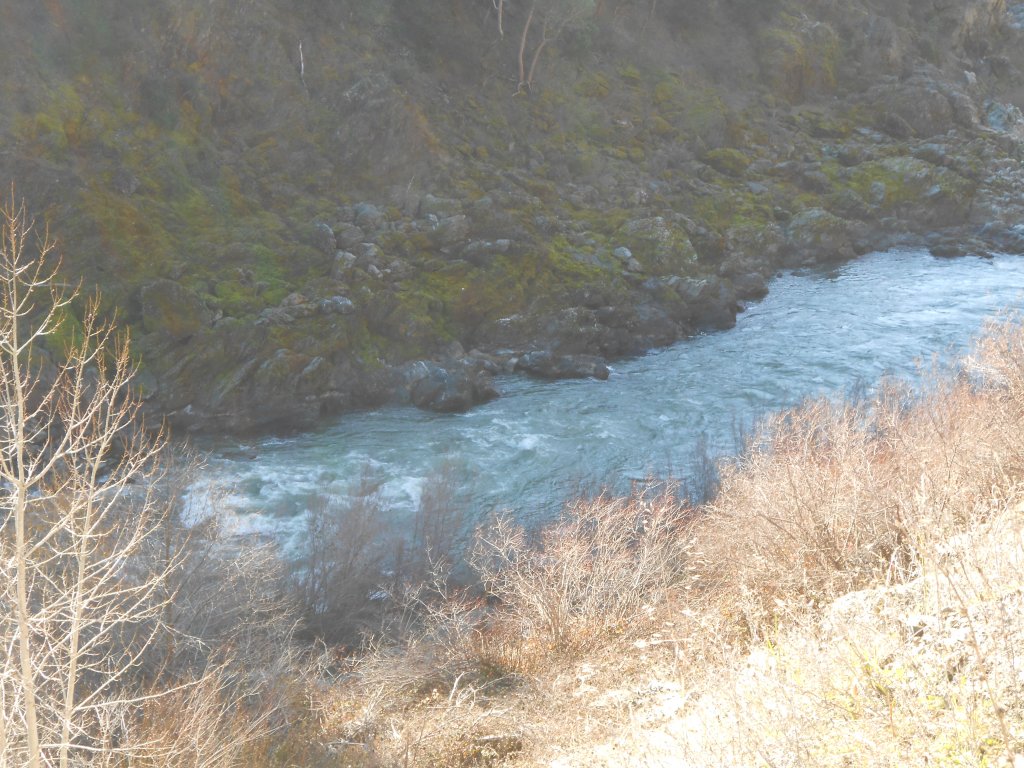
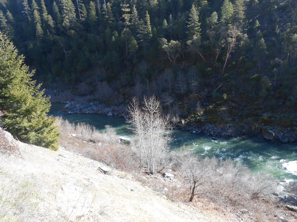
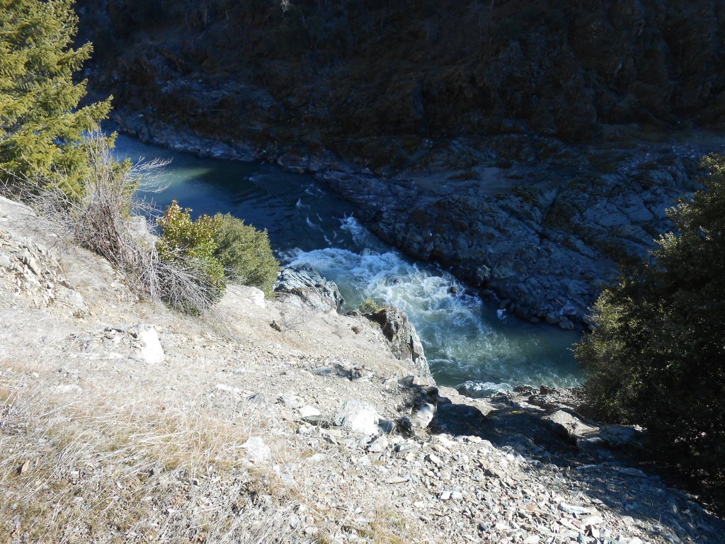
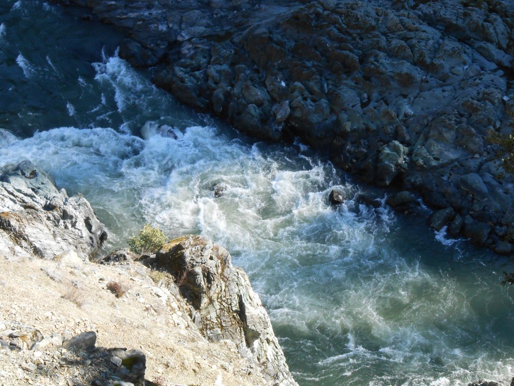
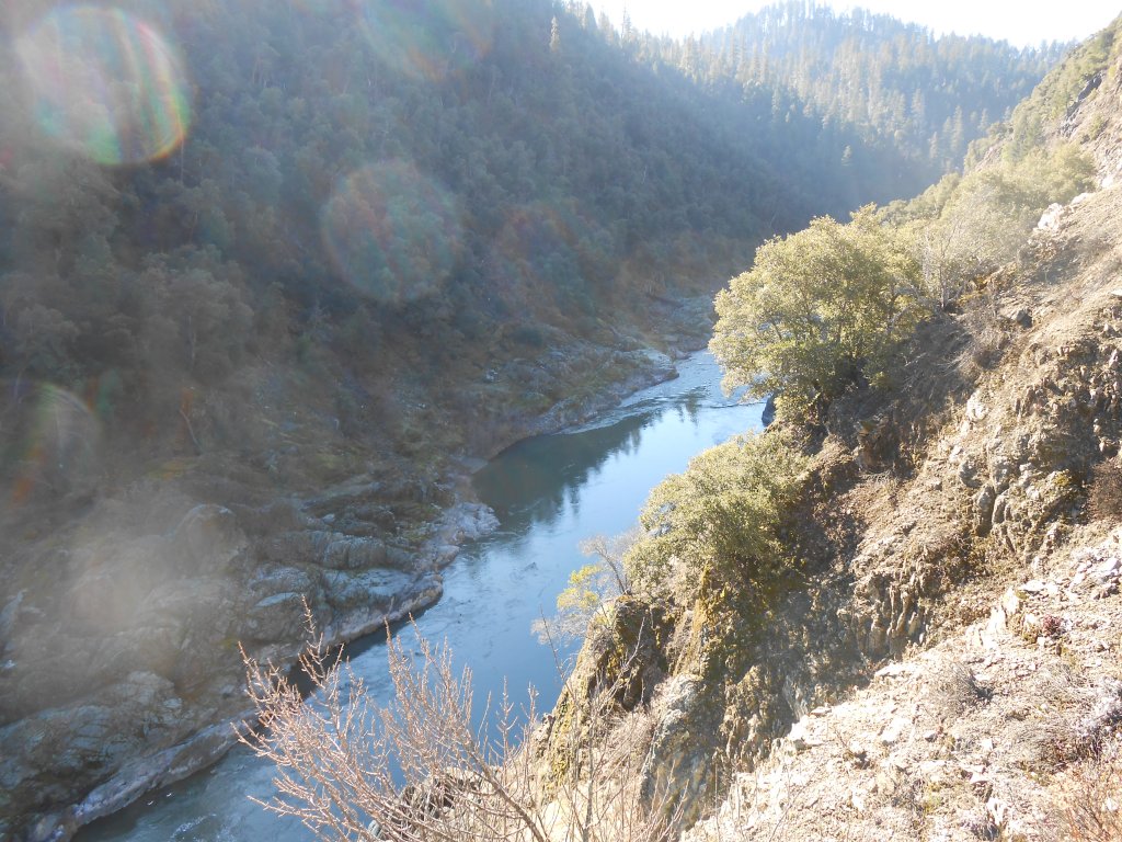
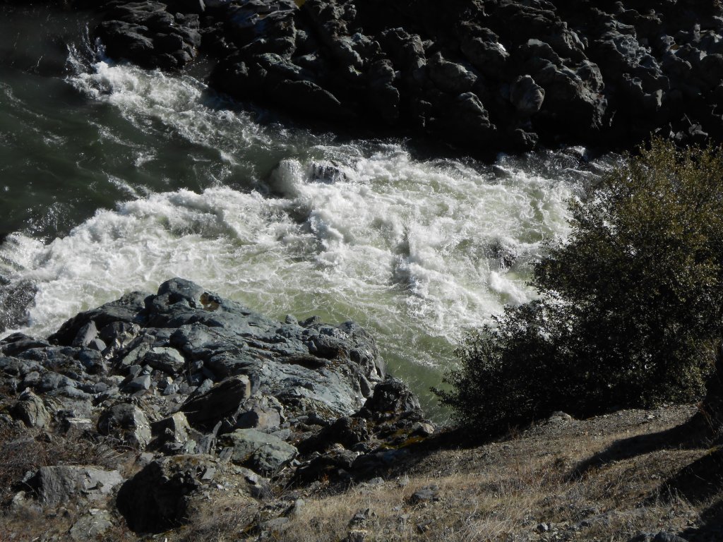
K-22A Doolittle Rapids – is another extension of a very long stretch of contiguous river claims which extend over 8 miles to our Richardson Bedrock property a short distance upstream from Happy Camp. The lower boundary is located at Highway 96 mile marker 35.5. This is mostly canyon property where few prospectors have been before. Some primitive paths and trails have been created to gain access, mostly up towards Doolittle Creek.
Here it is on Google Earth
PROSPECTS: The claims upstream have produced rich gold deposits from top to bottom, with members recovering many, many ounces during the past several years. A lot of dredging was done upstream of the canyon several years ago. There has also been some productive dredging activity in and around the lower end of the canyon. There is exposed and shallow bedrock on both sides of the river, creating completely unexplored above and below water crevicing opportunities. For the most part, this long stretch of river has not been prospected or mined-and the prospects are exceptional.

Upper Klamath :: Upper-mid Klamath :: Mid Klamath :: Lower Klamath
Elk Creek :: Indian Creek :: Scott River :: Thompson Creek
Salmon River Main Stem :: Salmon River North Fork
Master List of Mining Properties


