Important note concerning Mining & Dredging Seasons on this Property
Google Earth Coordinates: 41 35’39.9″N 123 30’40.2″W
To view the content from the link above you will need to have Google Earth installed on your home computer. Download Google Earth
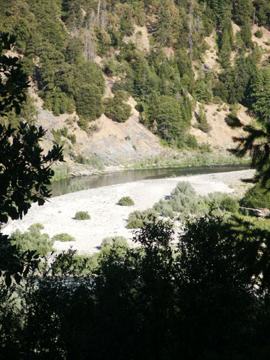
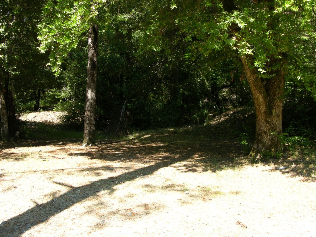
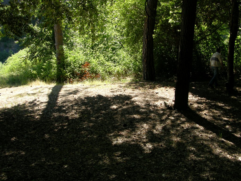
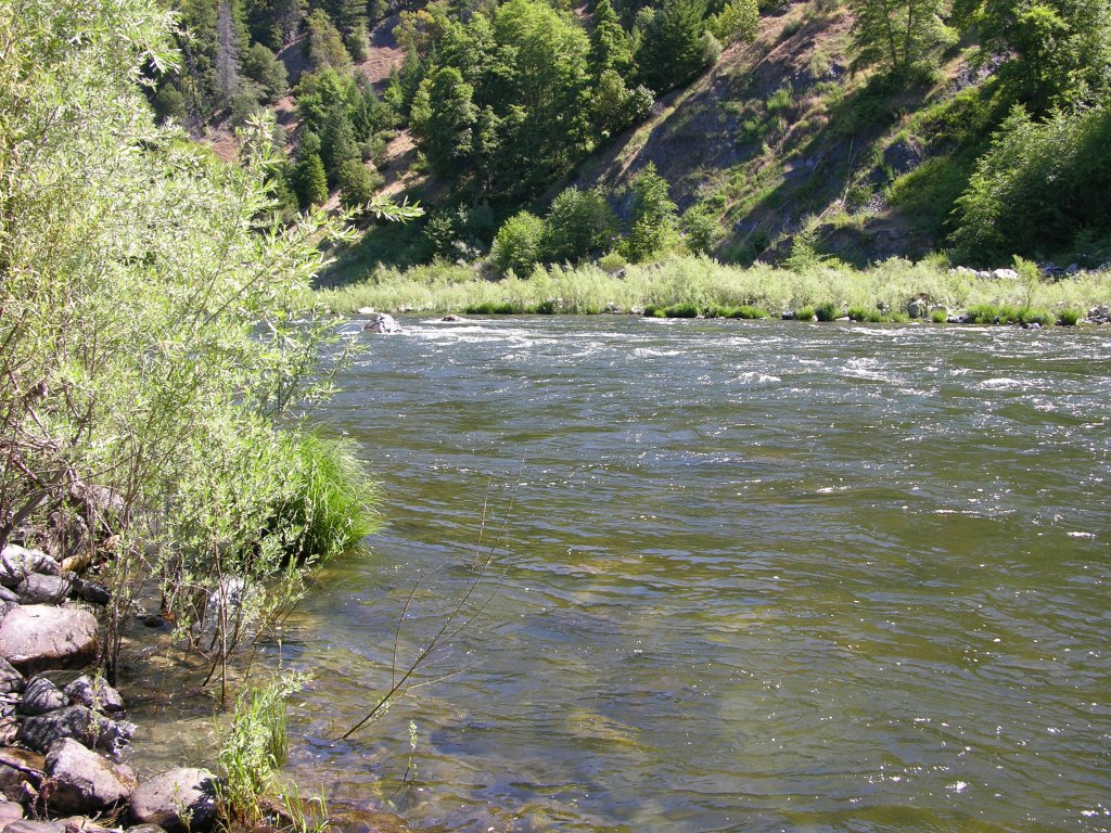
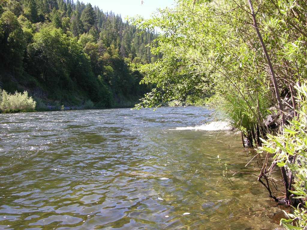
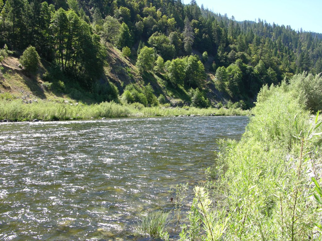
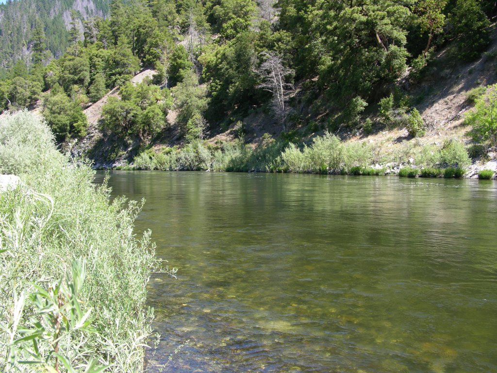
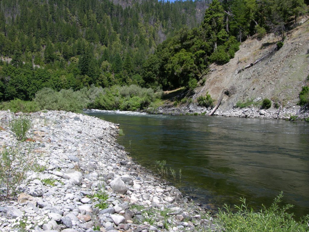
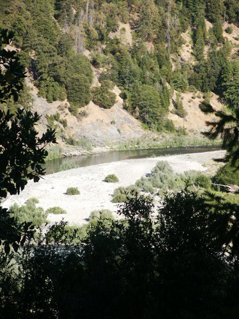
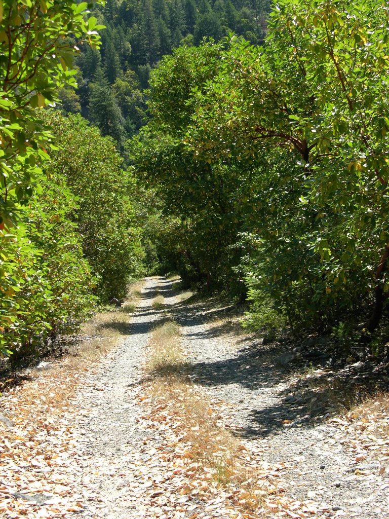
K-25b COTTAGE GROVE CLAIMS – are located 18.5 miles downriver from Happy Camp-or about 2 miles downriver from the Coon Creek river access. This property butts up to our K-25AB property just upriver. Several access roads (located at mile markers 21.68 & 21.93) used to extend down towards the river from Highway 96, but were washed out by a winter storm. Look for the upper (mile marker 21.93) and lower (mile marker 21.36) boundaries posted on trees along Highway 96. There is camping down along the access roads and on the gravel bar, although it is more of a challenge now to get there.
Here it is on Google Earth
PROSPECTS: Here is another very proven section of the Klamath River. Several dredgers hit very rich pay-dirt on K-25AB just upriver. Other members have been doing well suction mining along the edge of the river on the Hwy 96 side. Several members have done considerable suction mining up on the gravel bar on the Highway-96 side of the river where a water table allows dredging all summer long – and they have been finding nice nuggets! Considerable metal detecting activity has been done in the old hydraulic workings on the non-river side of Highway 96, with nice nuggets being found there, too. This claim has a lot of potential.
Upper Klamath :: Upper-mid Klamath :: Mid Klamath :: Lower Klamath
Elk Creek :: Indian Creek :: Scott River :: Thompson Creek
Salmon River Main Stem :: Salmon River North Fork
Master List of Mining Properties


