Important note concerning Mining & Dredging Seasons on this Property
Google Earth Coordinates: 41 51’23.0″N 122 42’8.4″W
To view the content from the link above you will need to have Google Earth installed on your home computer. Download Google Earth
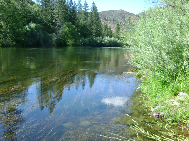
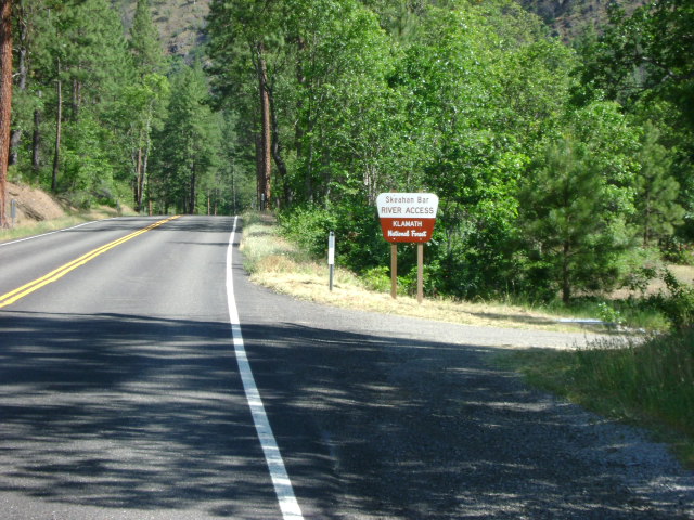
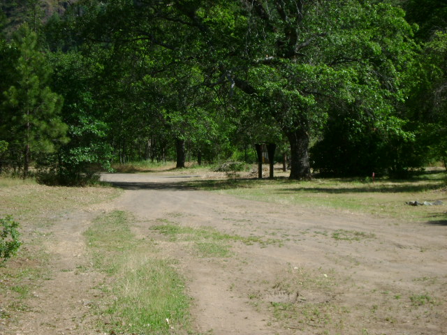
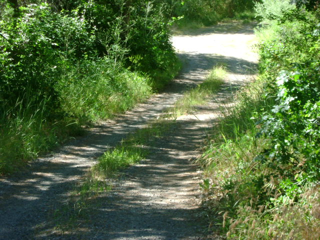
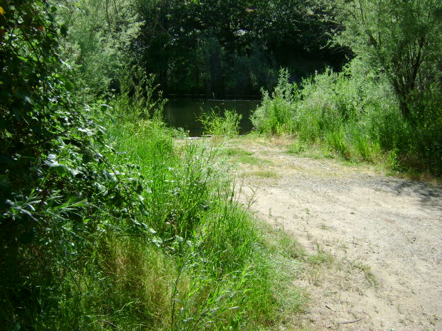
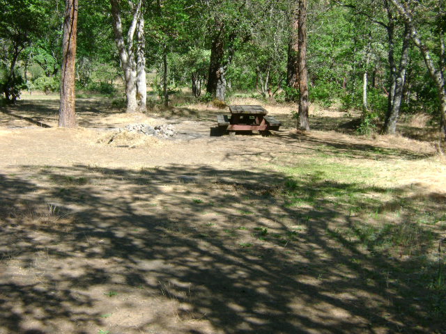
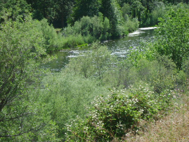
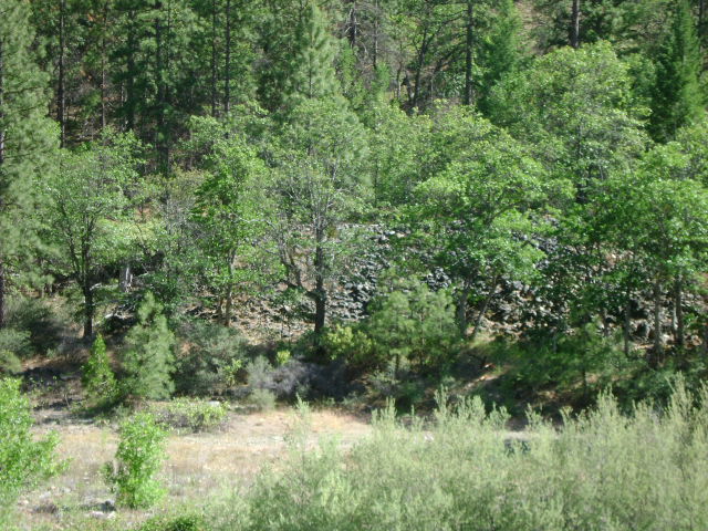
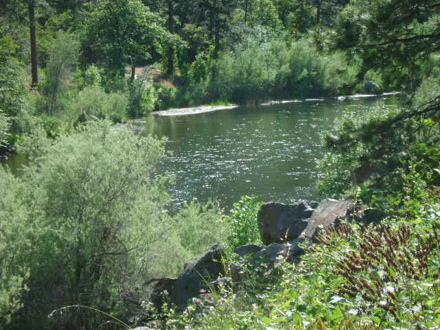
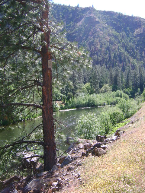
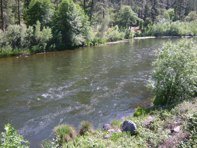
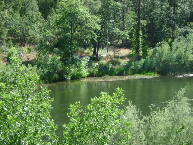
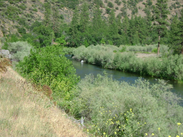
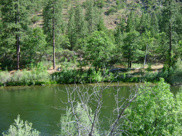
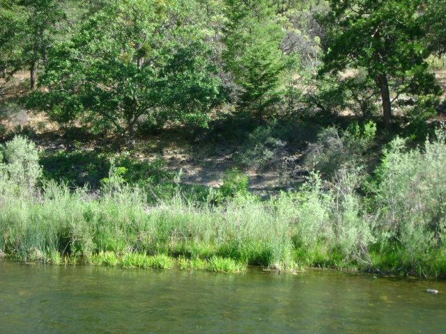
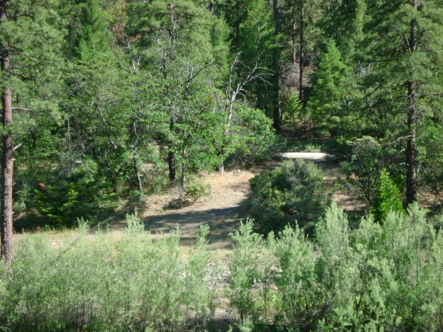
K-2 SKEAHAN BAR CLAIMS – are located three miles downriver from the Forest Service Tree of Heaven campground. Boundaries are clearly marked on trees alongside the highway (upper boundary at mile marker 96.00, and lower boundary at mile marker 95.49). Skeahan Bar is also a Forest Service developed river access (mile marker 95.59) location. Camping is available at this location–limited to two weeks.
PROSPECTS: This section of river has a proven rich mining history.


