

Google Earth Coordinates: 42 27’ 32.4”N, 123 1’ 29.9W
To view the content from the link above you will need to have Google Earth installed on your home computer. Download Google Earth
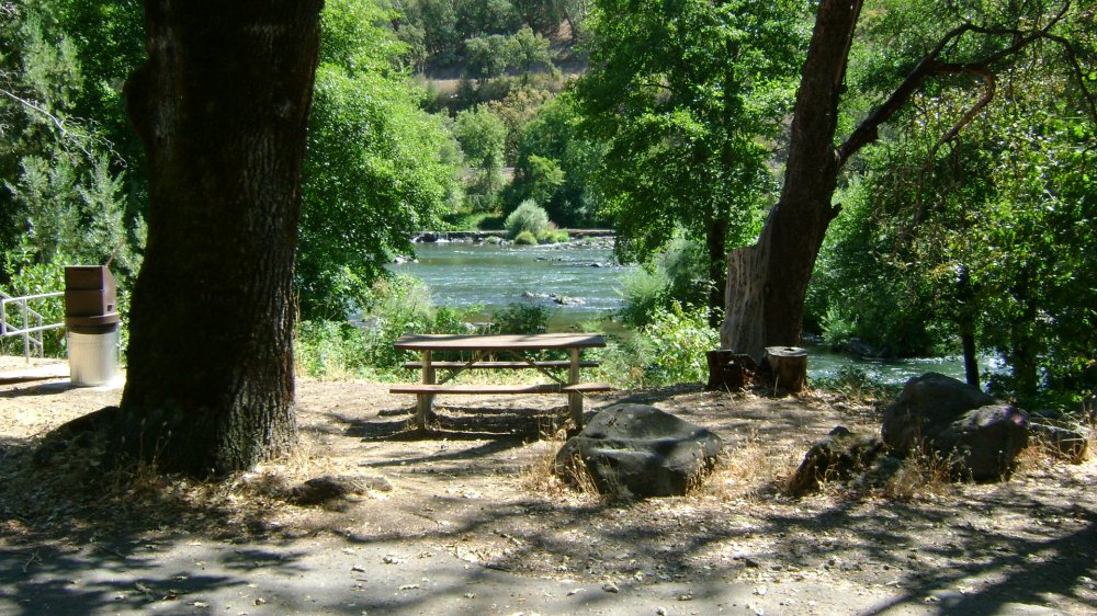
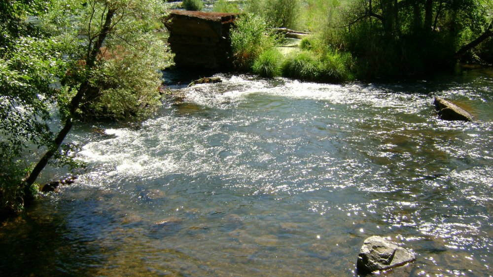
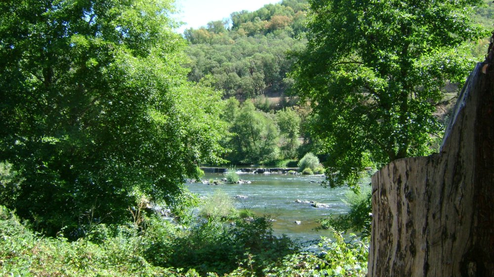
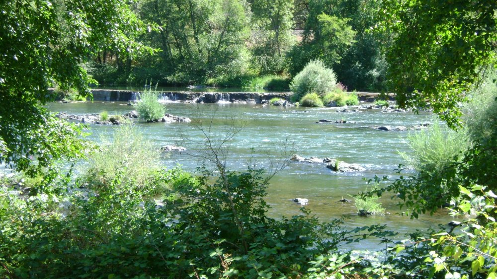
River Access, Parking, Bathrooms, Tables
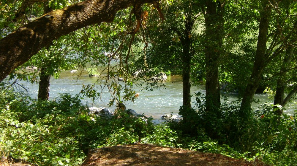
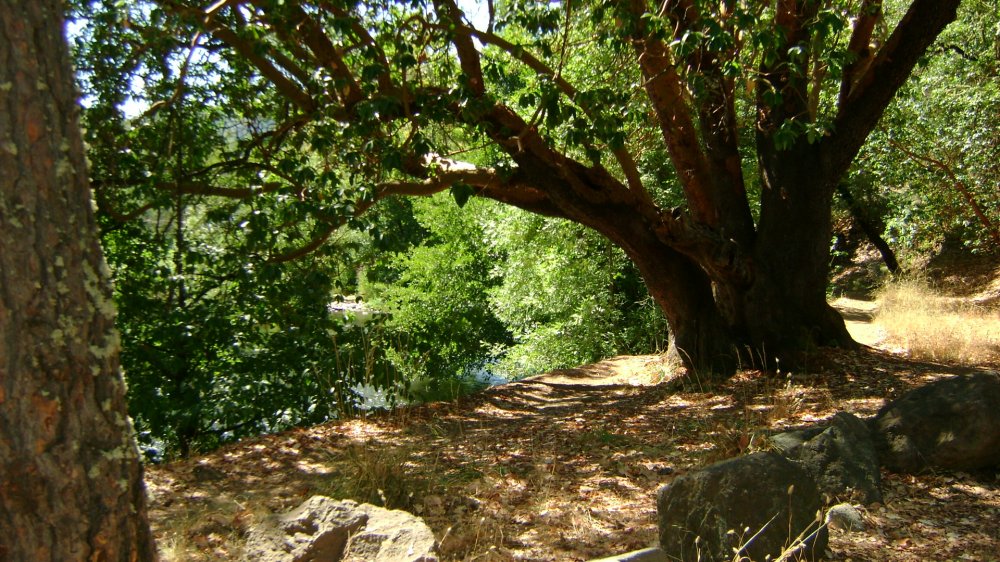
This location has small, shady, lots of trees for parking. The trail to the water is narrow and steep, but it is an actual maintained trail.
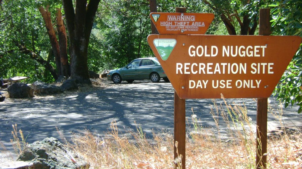
Note: There is another area between #11 and #13 called “Gold Nugget Wayside.” We did not place it on our map or take any pictures there. It has parking only, and a footpath to the water. But it is just 4/10 mile past #11, so the location could be used for parking if you decide to dredge up that way.


Upper Klamath :: Upper-mid Klamath :: Mid Klamath :: Lower Klamath
Elk Creek :: Indian Creek :: Scott River :: Thompson Creek
Salmon River Main Stem :: Salmon River North Fork
Master List of Mining Properties


