

Google Earth Coordinates: 42 26’ 12.0”N, 122 59’ 11.5W
To view the content from the link above you will need to have Google Earth installed on your home computer. Download Google Earth

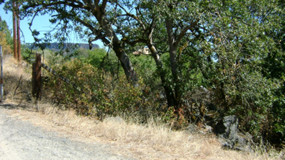
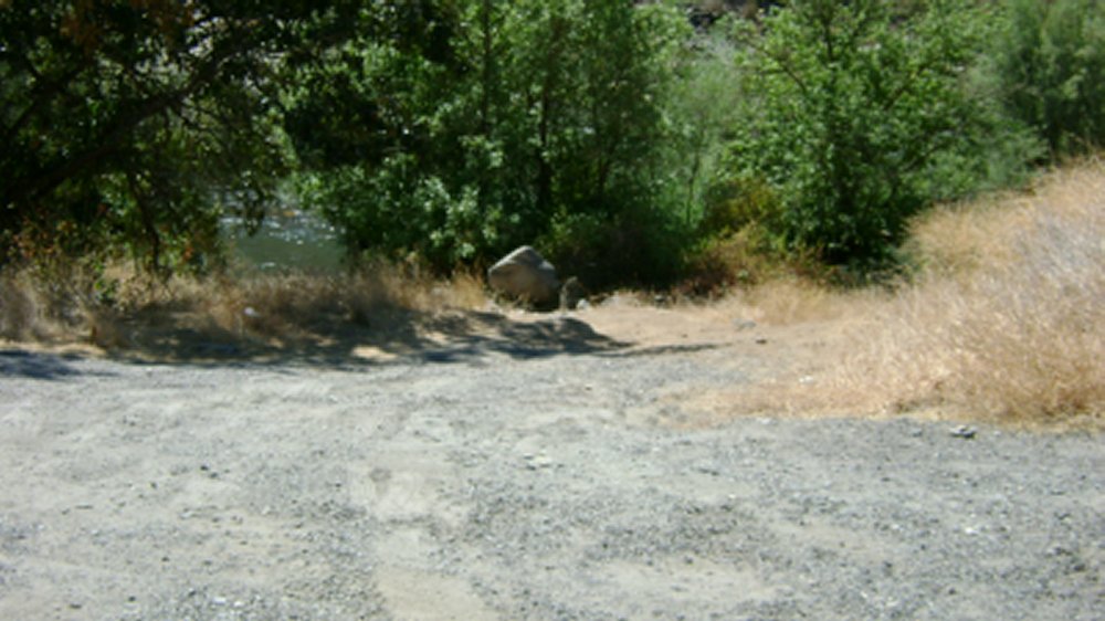
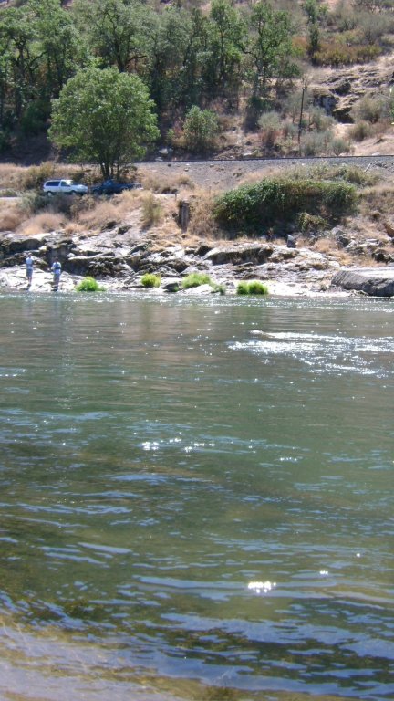
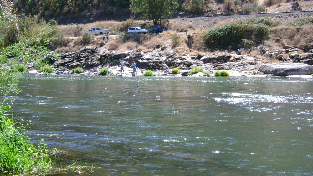
River Access alongside the road. You get to this access by turning at Gold Ray Ranch Estates. The river access is steep, but gradual, to the bottom. There is a tiny bit of parking space on the road above, maybe enough for 3 to 5 vehicles.
Click on thumbnails to view images full size.

Upper Klamath :: Upper-mid Klamath :: Mid Klamath :: Lower Klamath
Elk Creek :: Indian Creek :: Scott River :: Thompson Creek
Salmon River Main Stem :: Salmon River North Fork
Master List of Mining Properties


