

Google Earth Coordinates: 42 25’ 58.7”N, 123 27’ 28.3W
To view the content from the link above you will need to have Google Earth installed on your home computer. Download Google Earth
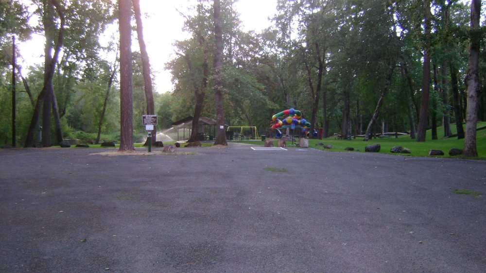
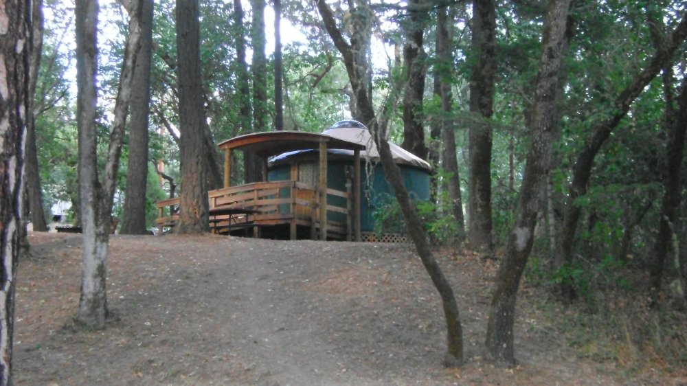
River Access, Boat Launch Ramp, Parking, Bathrooms, Grills, Tables, Showers, Tent Camping, Full Hookups, Yurts, Playground
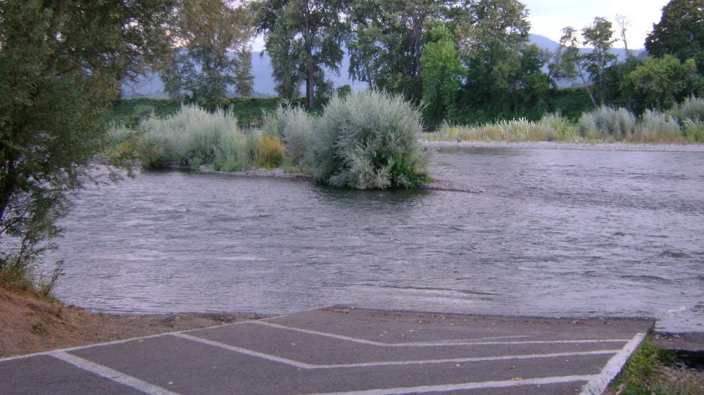
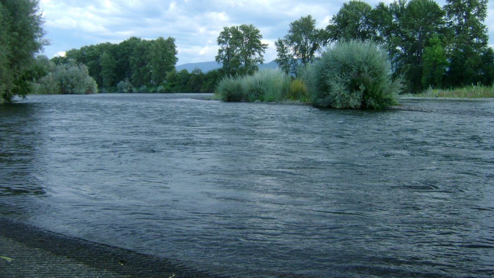
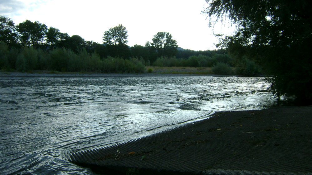
This park is at the confluence of the Applegate River. The water is choppy (whitecaps even immediately at the bank), and it is wide and fast.
Our understanding is that the State Lands which create the open recreational mining opportunity begin at the confluence of the Applegate River and extend upstream from there.


Upper Klamath :: Upper-mid Klamath :: Mid Klamath :: Lower Klamath
Elk Creek :: Indian Creek :: Scott River :: Thompson Creek
Salmon River Main Stem :: Salmon River North Fork
Master List of Mining Properties


