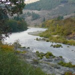
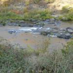
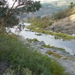
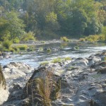
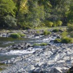
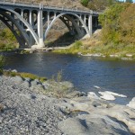
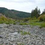
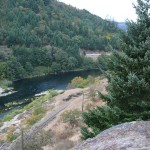
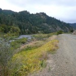
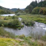
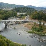
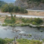
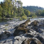
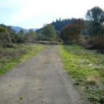
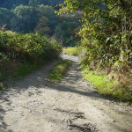
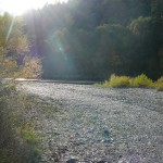
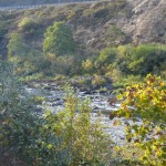
State Land area open to suction dredging under a General Authorization by Department of State Lands and a Water Quality Permit issued by the Department of Environmental Quality
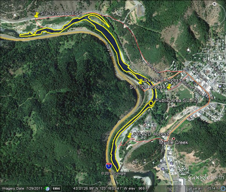
GOOGLE EARTH COORDINATES: To view the content from the location links below you will need to have Google Earth installed on your home computer. Download Google Earth
UPSTREAM: 43 01’00.83″N, 123 18’01.00″W
DOWNSTREAM: 43 01’48.10″N, 123 18’47.73″W
This public area is open bank to bank, the entire width of the river. It is located in Douglas County proper and is just under 2/3rds of a mile in length.
Access Point SU-12-A
GOOGLE EARTH COORDINATES: 43 01’53.57″N, 123 18’40.67″W
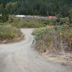
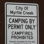
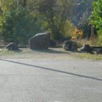
This public access point is a 4×4 road onto a gravel bar off of Dole Road. Some 2-wheel-drive vehicles may possibly access this site, as well. It is a large area. The city of Myrtle Creek allows camping in this area with a permit that may be purchased from city hall @ 541-863-3171. Or you can check their website. Campers must be self-contained with some type of toilet facility.
Access Point SU-12-B
GOOGLE EARTH COORDINATES: 43 01’30.57″N, 123 17’50.58″W
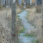
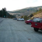
This public access point is very large gravel pull off located right beside the I-5 on-ramp. All equipment must be packed to the river. There are some nice foot paths leading to the river from the SE corner of this area.
Access Point SU-12-C
GOOGLE EARTH COORDINATES: 43 01’28.87″N, 123 17’37.12″W
This public access point is regular street parking at the end of 4th Street in Myrtle Creek. It is located about 400feet from the river and there are some nice foot paths leading to the river. The city has an RV park next to this location called “Millsite RV Park.” Call city hall for info @ 541-863-3171, or check their website.
Access Point SU-12-D
GOOGLE EARTH COORDINATES: 43 01’11.89″N, 123 17’55.78″W
This public access point is at the end of Western Avenue. There are numerous 4×4 roads leading to the river.
Upper Klamath :: Upper-mid Klamath :: Mid Klamath :: Lower Klamath
Elk Creek :: Indian Creek :: Scott River :: Thompson Creek
Salmon River Main Stem :: Salmon River North Fork
Master List of Mining Properties


