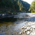
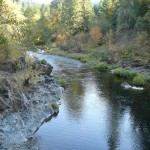
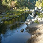
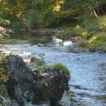
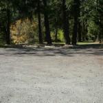
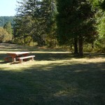
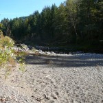
State Land area open to suction dredging under a General Authorization by Department of State Lands and a Water Quality Permit issued by the Department of Environmental Quality
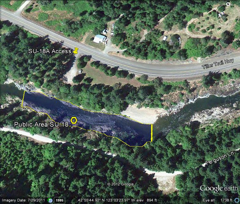
GOOGLE EARTH COORDINATES: To view the content from the location links below you will need to have Google Earth installed on your home computer. Download Google Earth
UPSTREAM: 42 55’43.43″N, 123 03’22.10″W
DOWNSTREAM: 42 55’44.95″N, 123 03’29.36″W
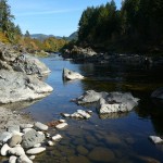
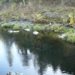
This public area is open bank to bank, the entire width of the river. This location is the Carl C Hill wayside, located in Douglas County proper and is almost 600-feet in length.
Access Point SU-18-A
GOOGLE EARTH COORDINATES: 42 55’45.79″N, 123 03’26.38″W
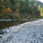
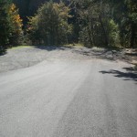
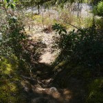
This public access point is the Carl C Hill wayside area. It is a no-fee area and there is parking for around 20 vehicles. River access is by trail only. There are good trails at the SW & SE corners of park. There is a lot of exposed bedrock here. We observed numerous dredge holes and cobble piles at this location, which is approximately 3-miles downstream from Coffee Creek, one of the richest tributaries of the South Umpqua River.
Upper Klamath :: Upper-mid Klamath :: Mid Klamath :: Lower Klamath
Elk Creek :: Indian Creek :: Scott River :: Thompson Creek
Salmon River Main Stem :: Salmon River North Fork
Master List of Mining Properties


