Google Earth Coordinates: 42 27’ 44.2”N, 123 1’ 2.2W
To view the content from the link above you will need to have Google Earth installed on your home computer. Download Google Earth

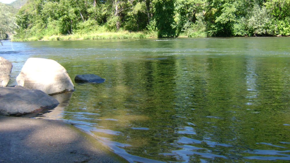
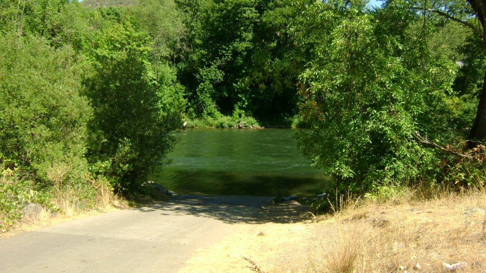
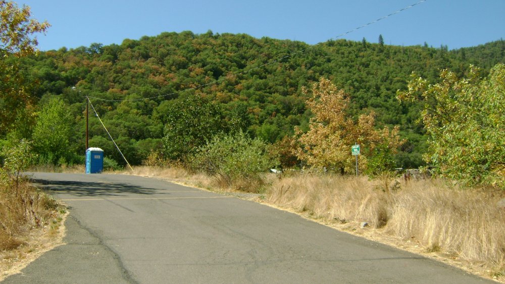
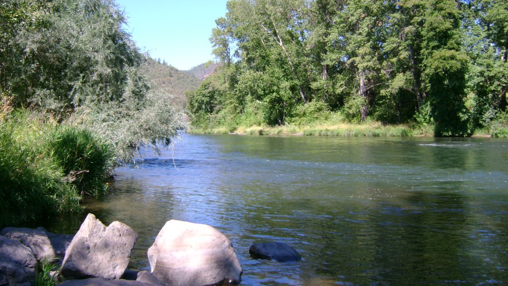
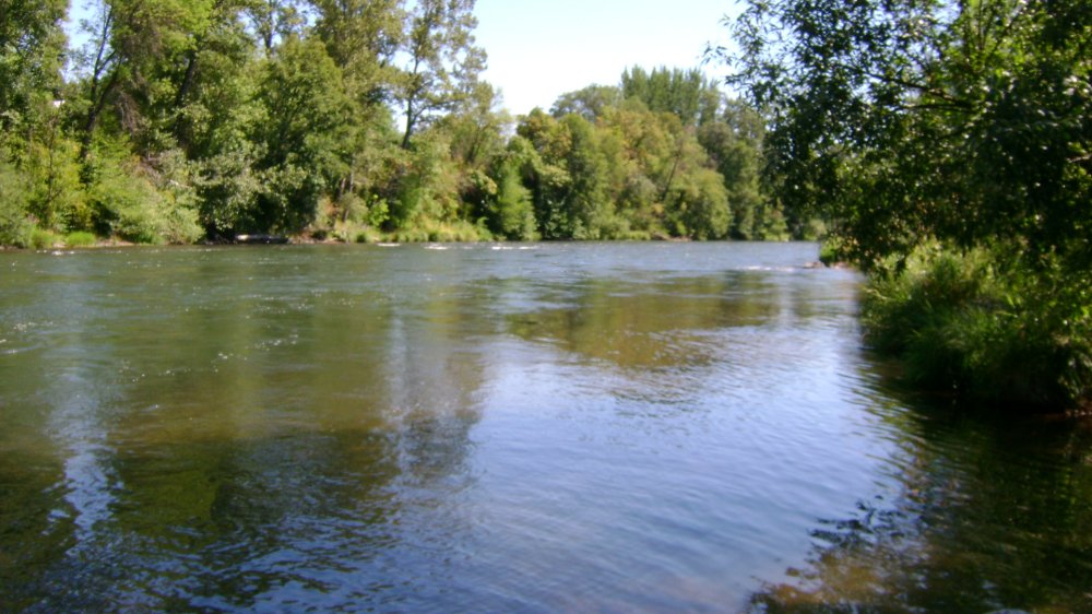
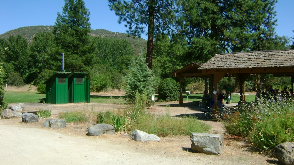
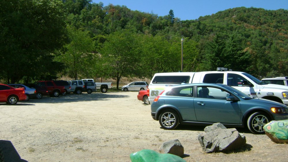
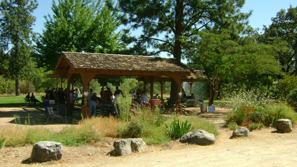
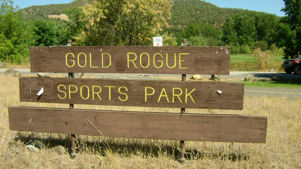
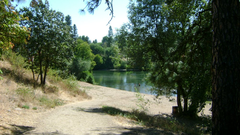
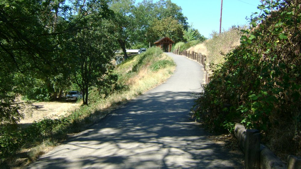
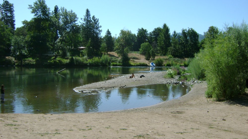
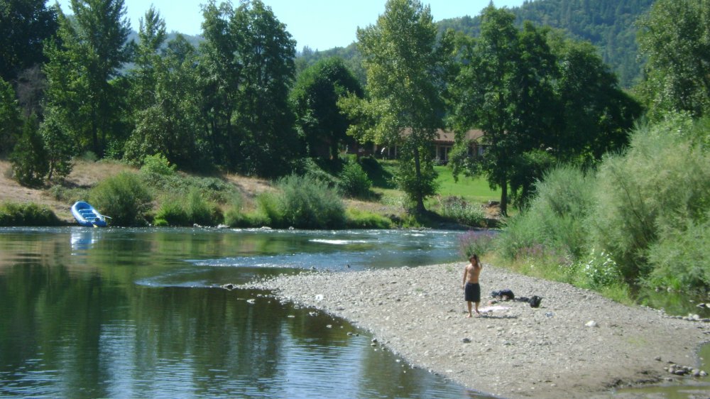
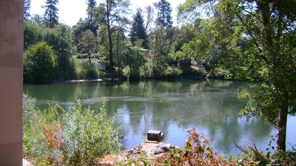
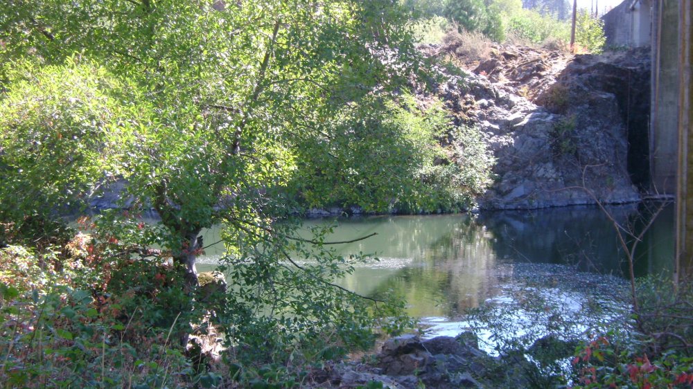
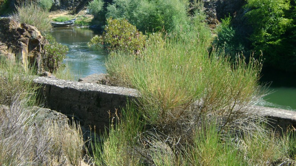
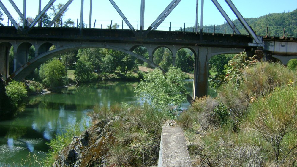
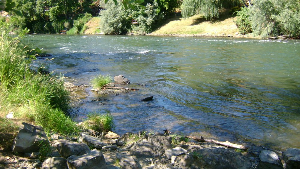
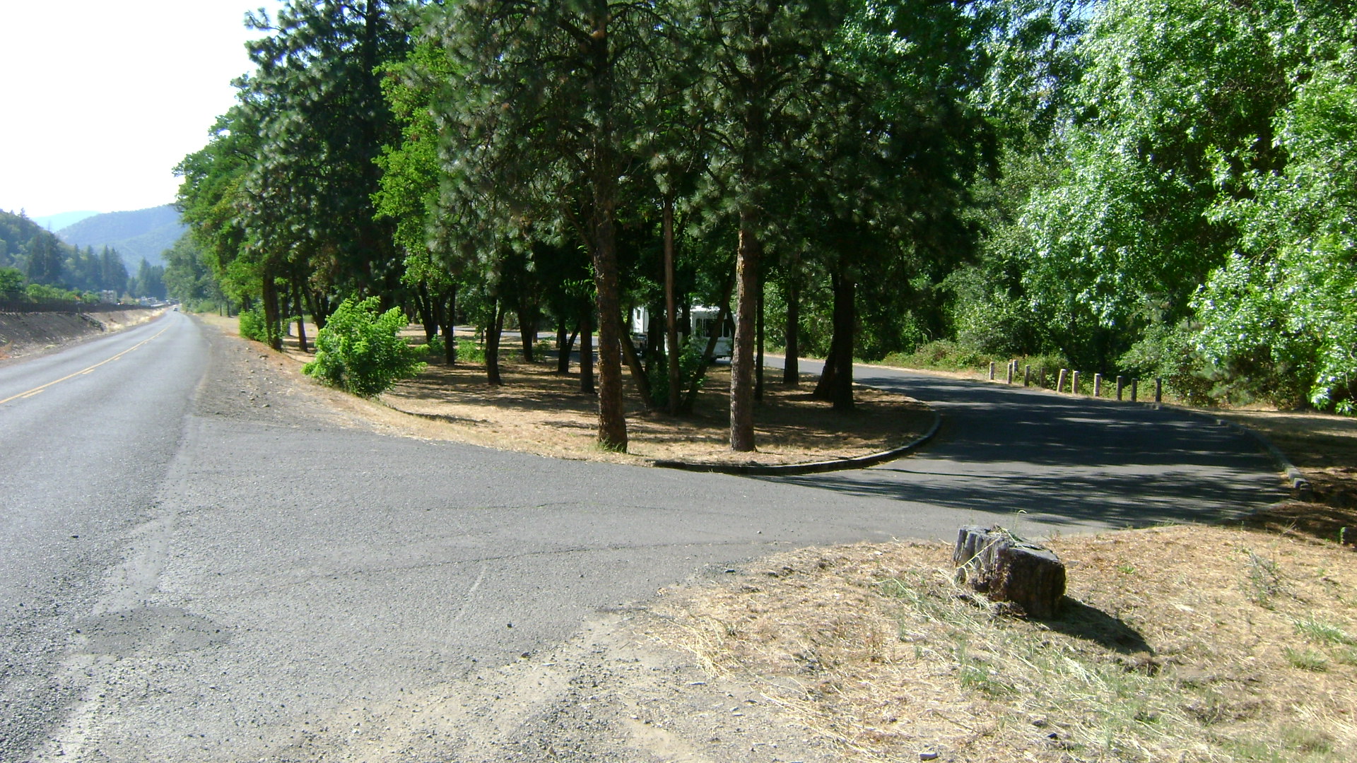
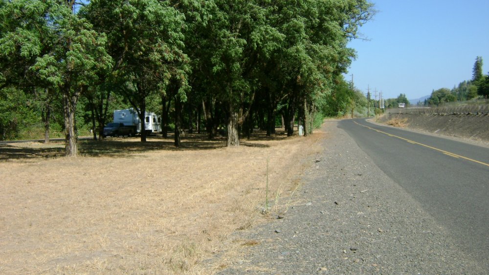
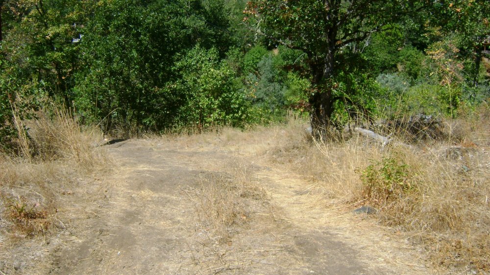
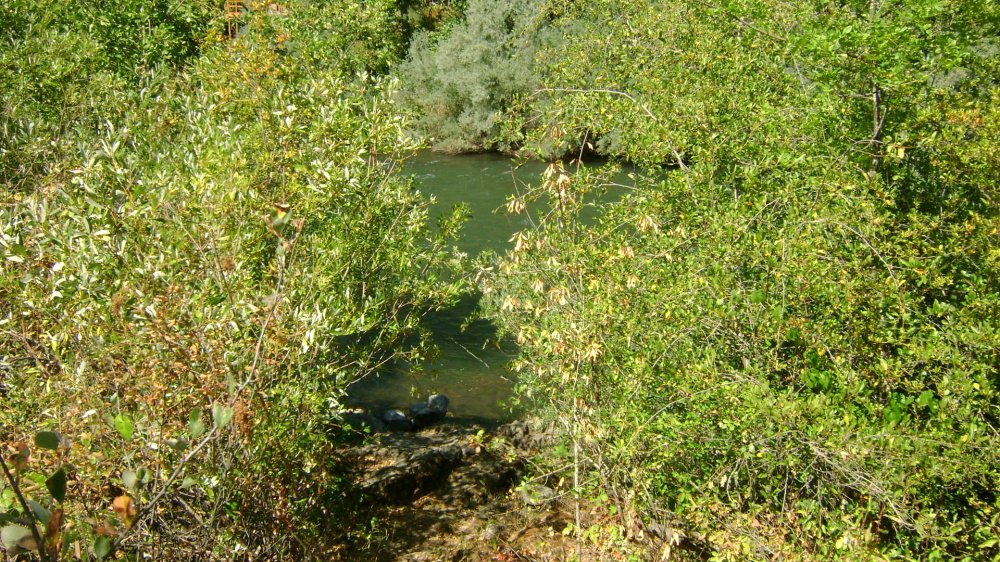
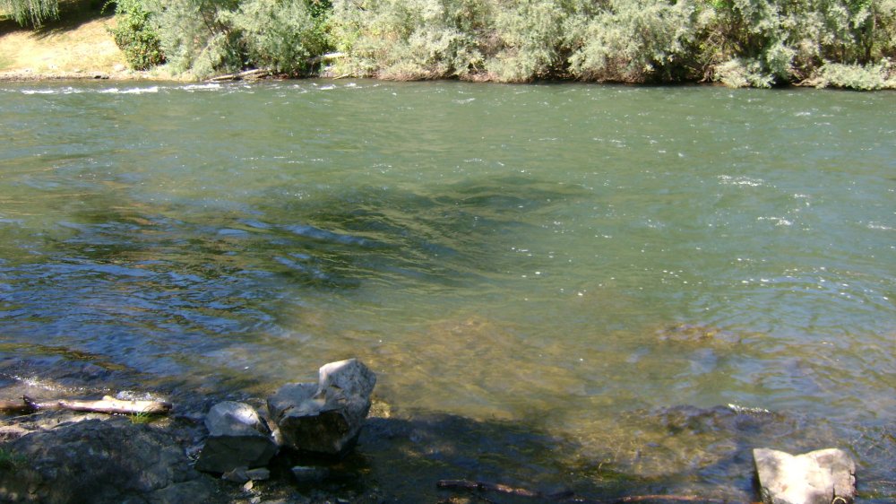
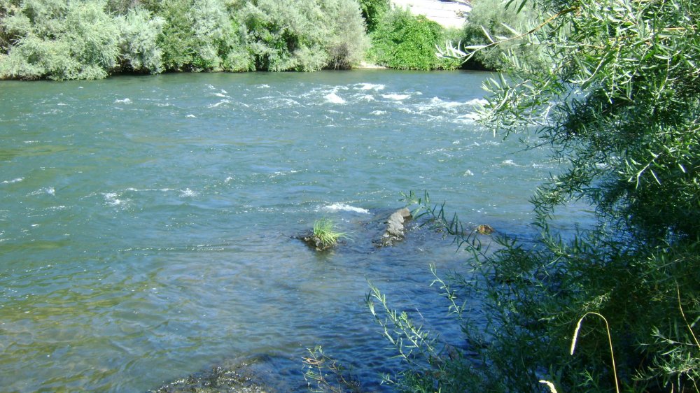
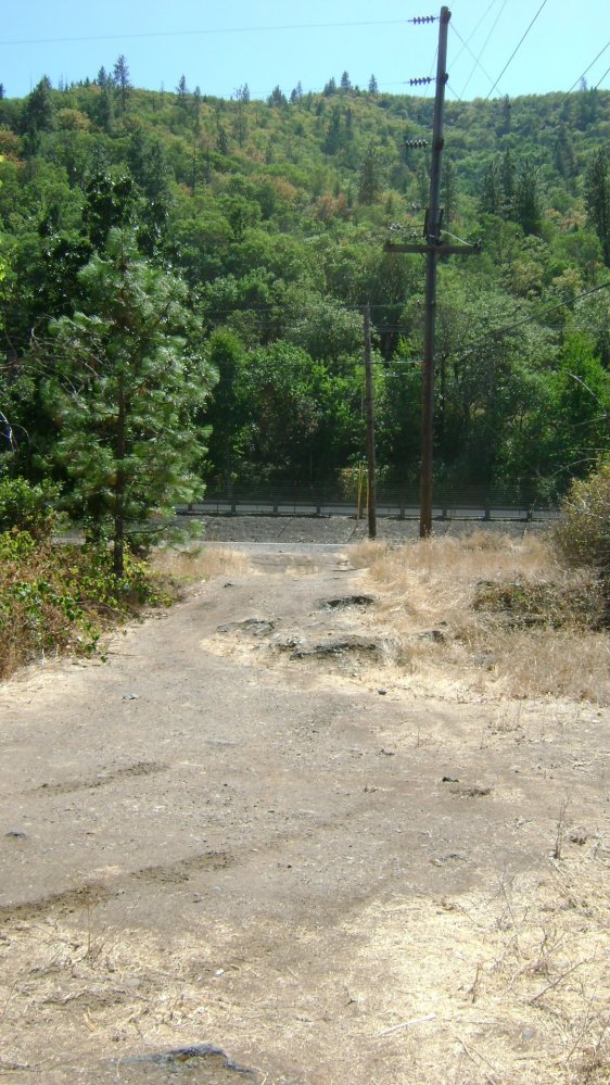
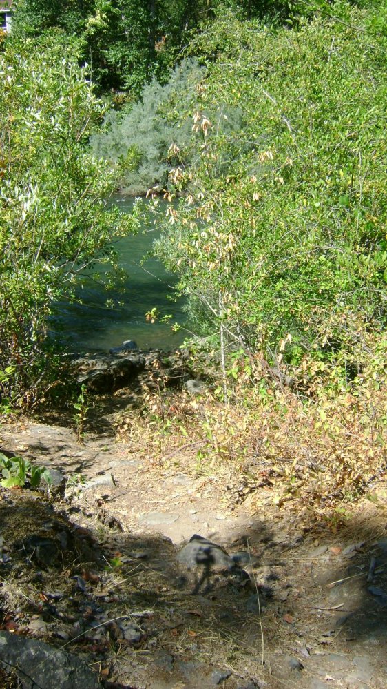
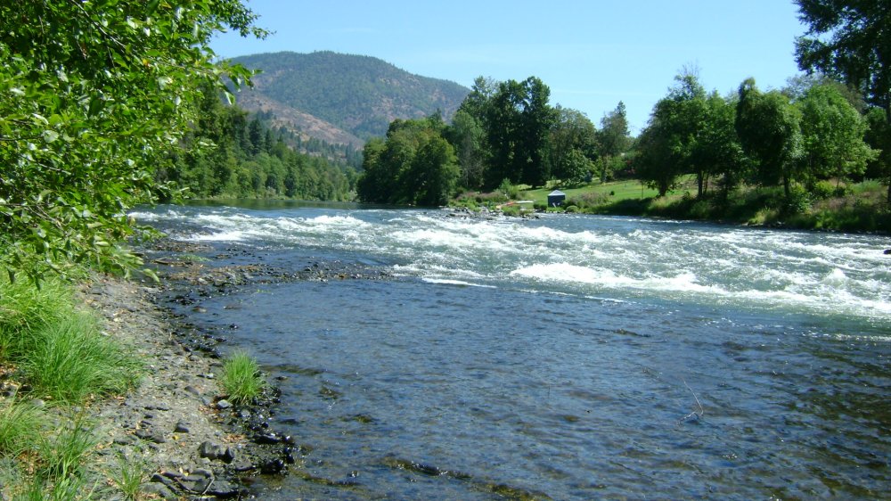
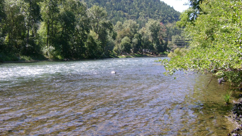
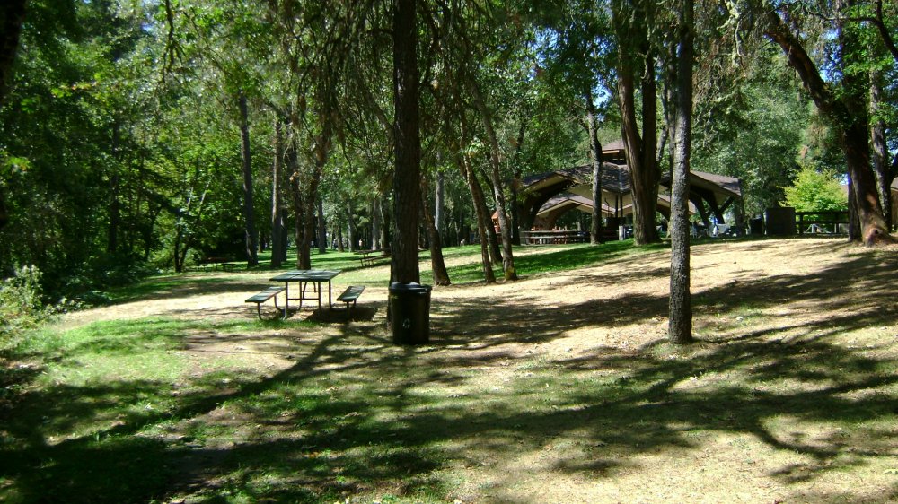
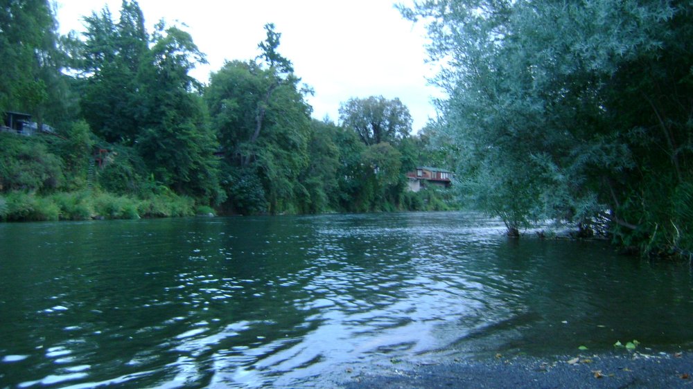
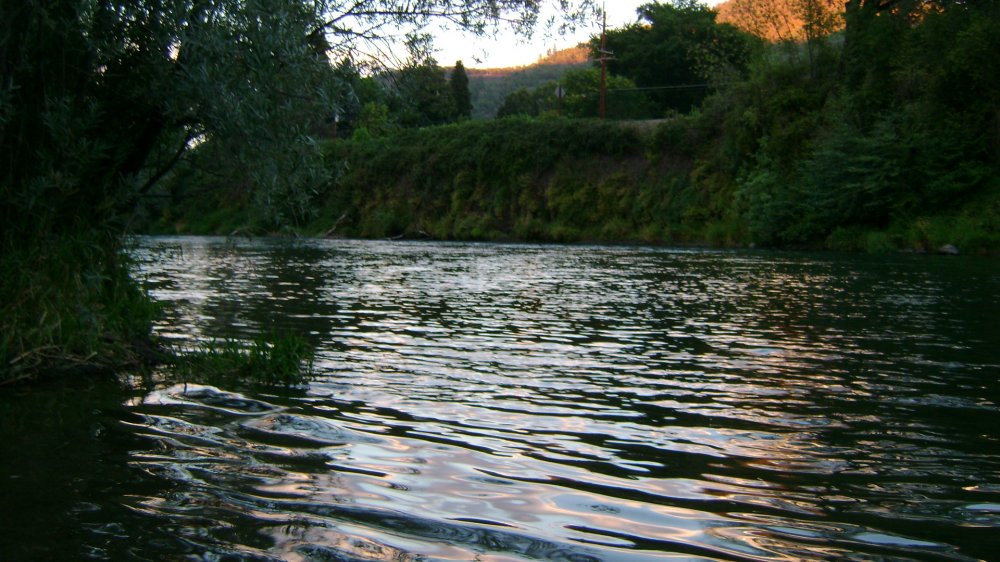
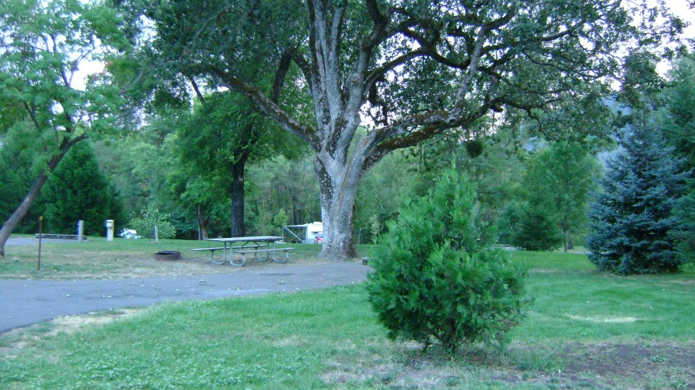
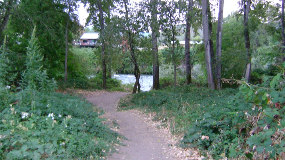
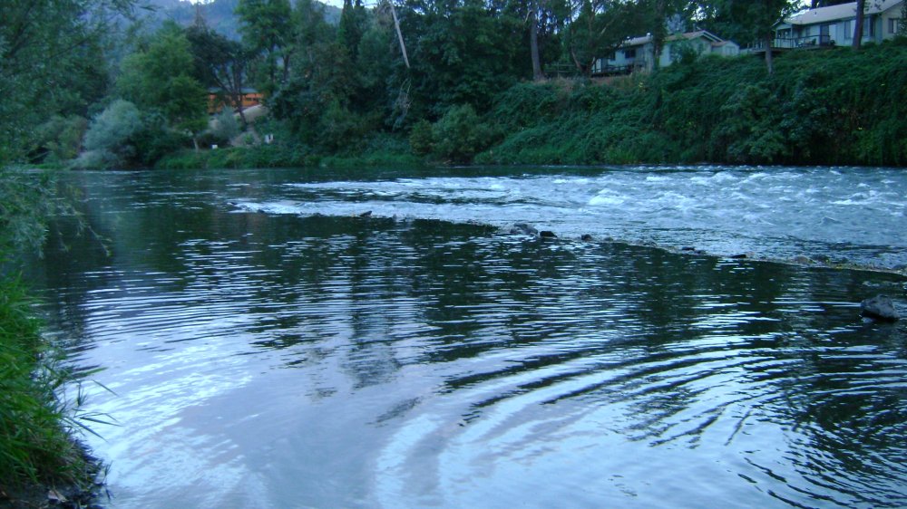
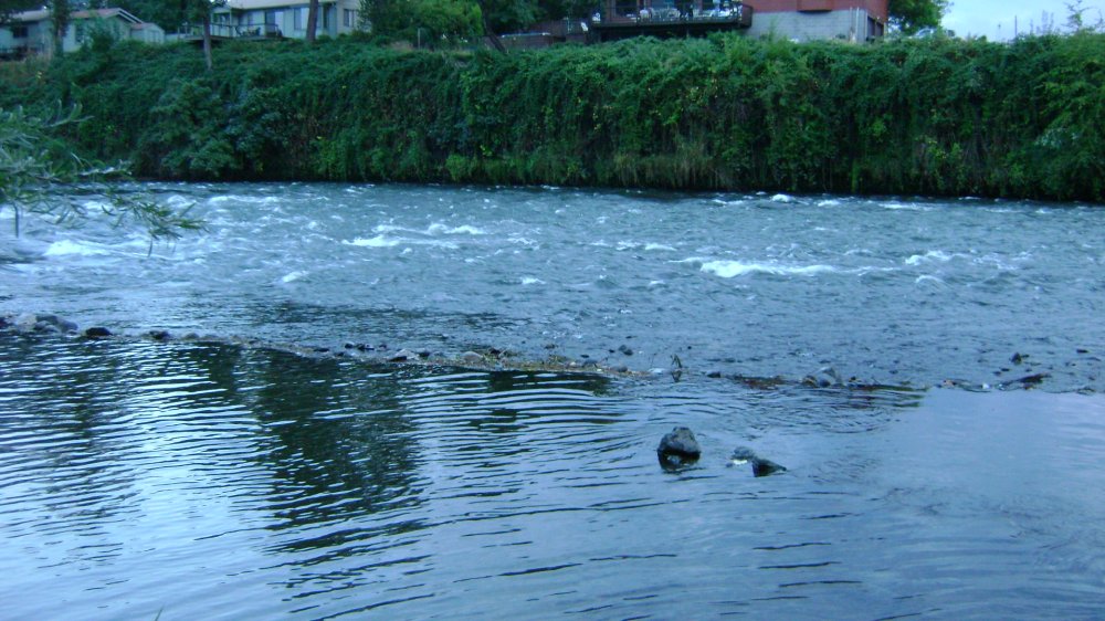
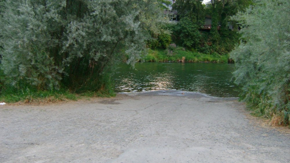
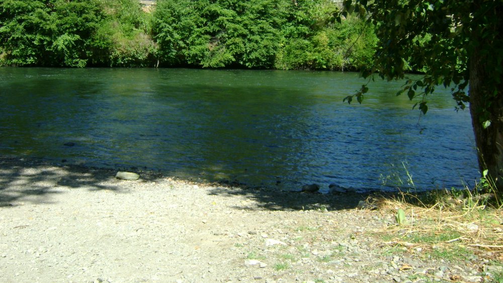
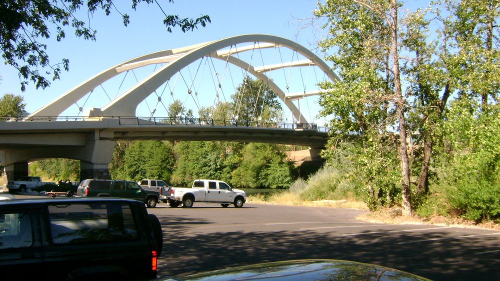
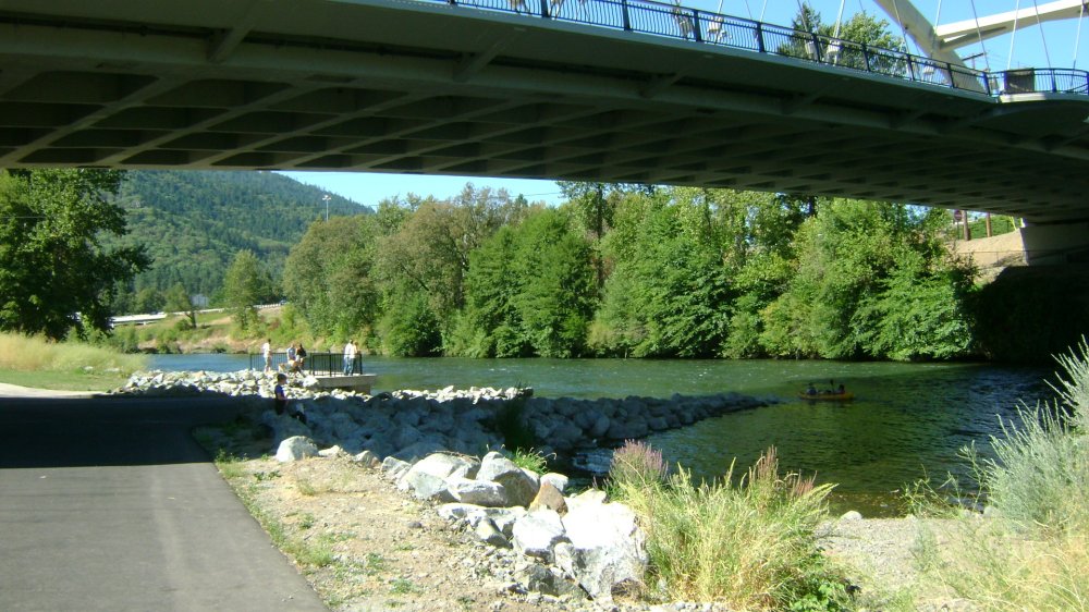
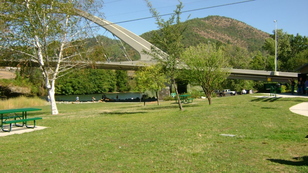
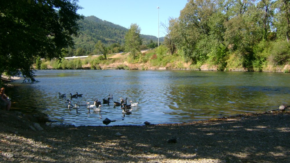
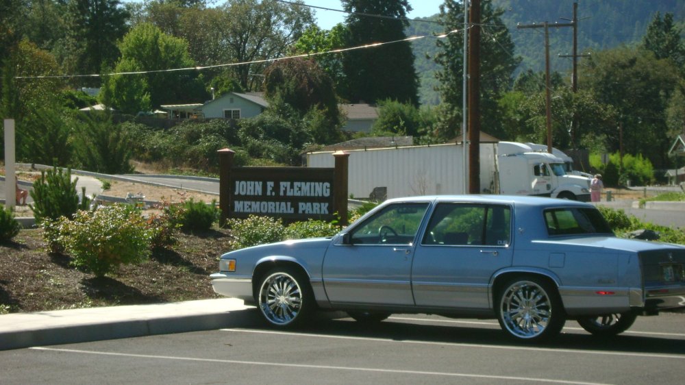
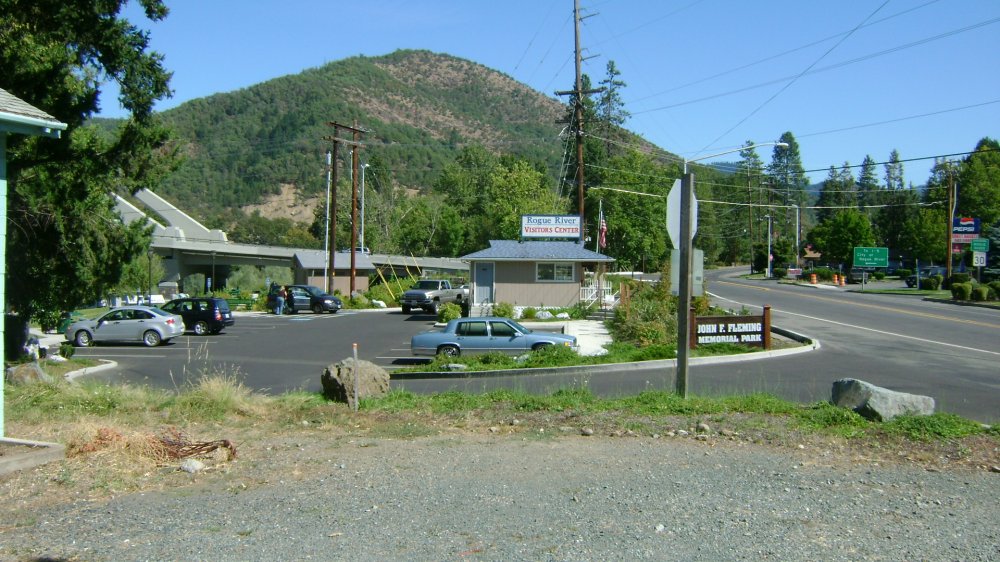
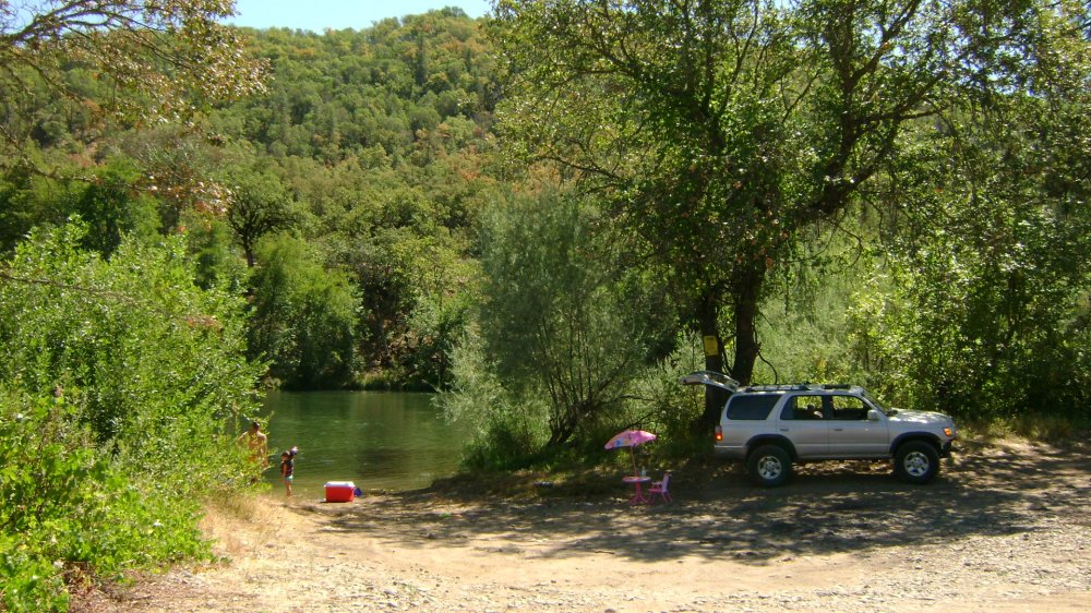
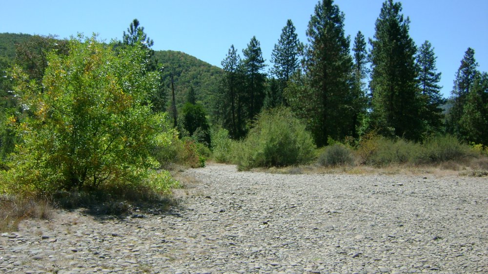
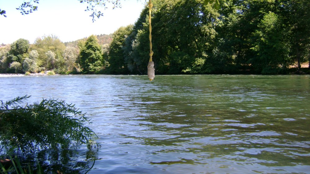
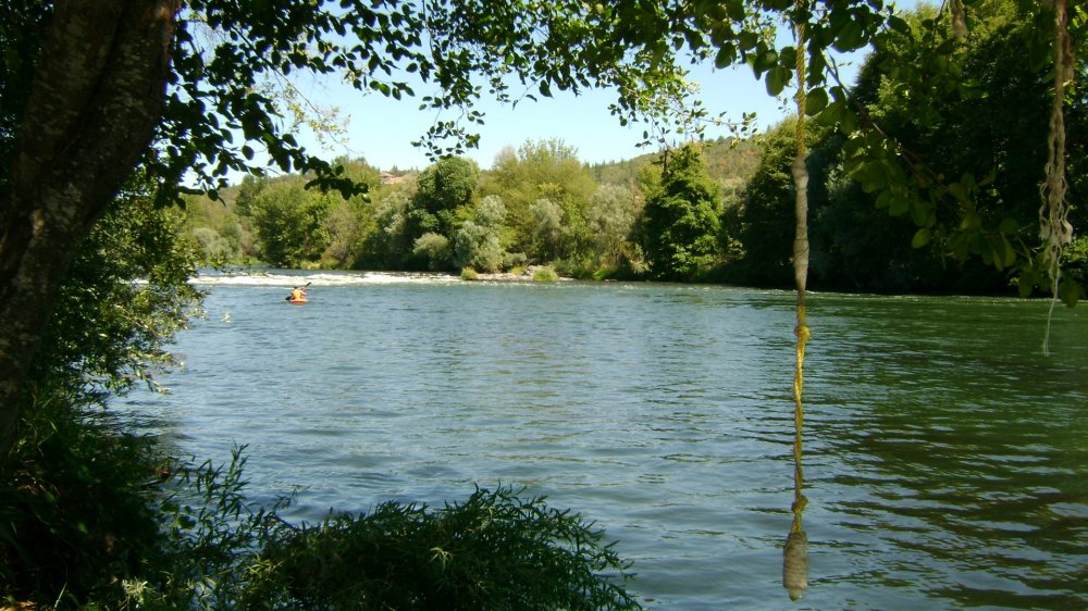
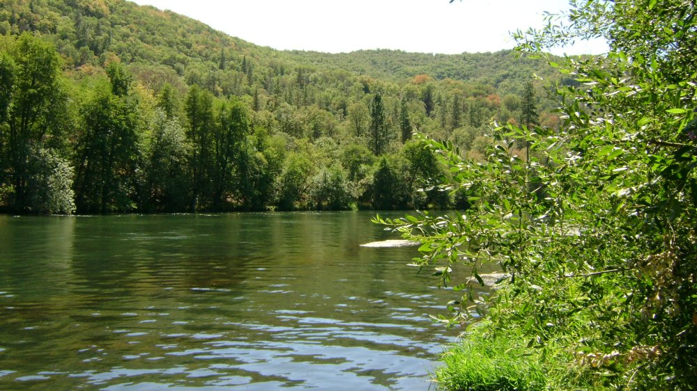
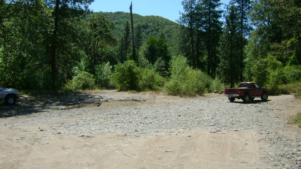
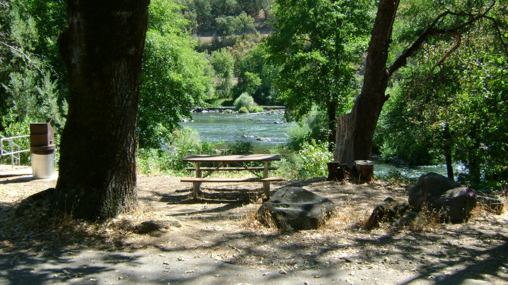
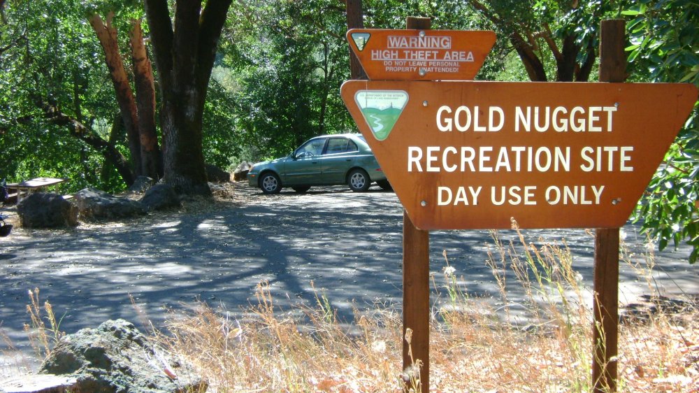
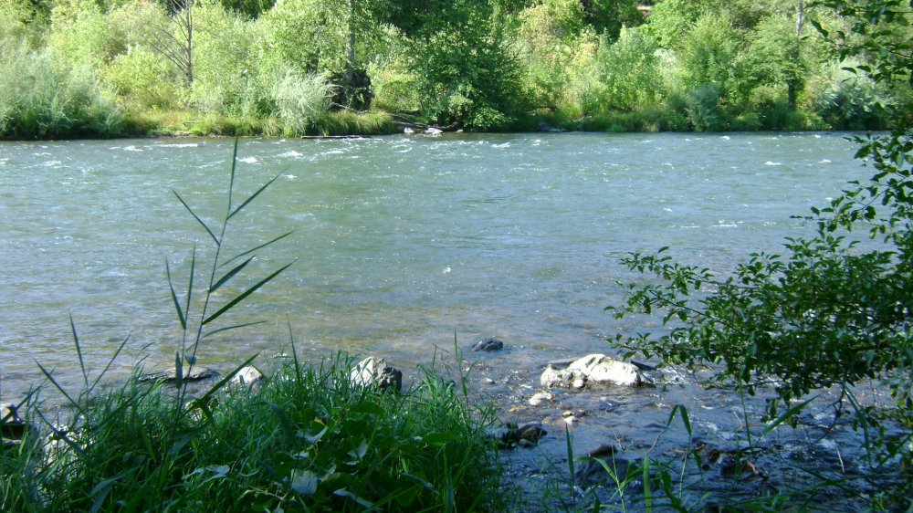
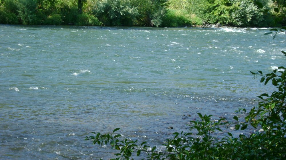
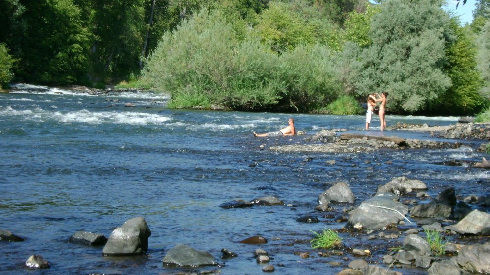
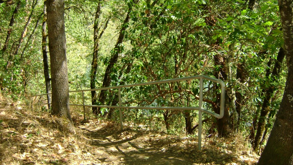
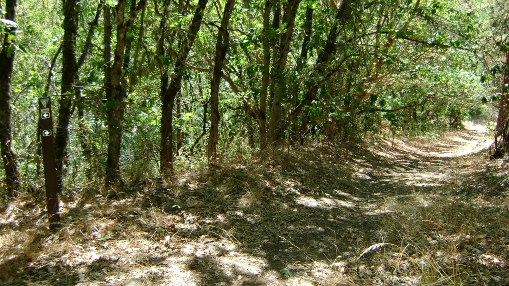
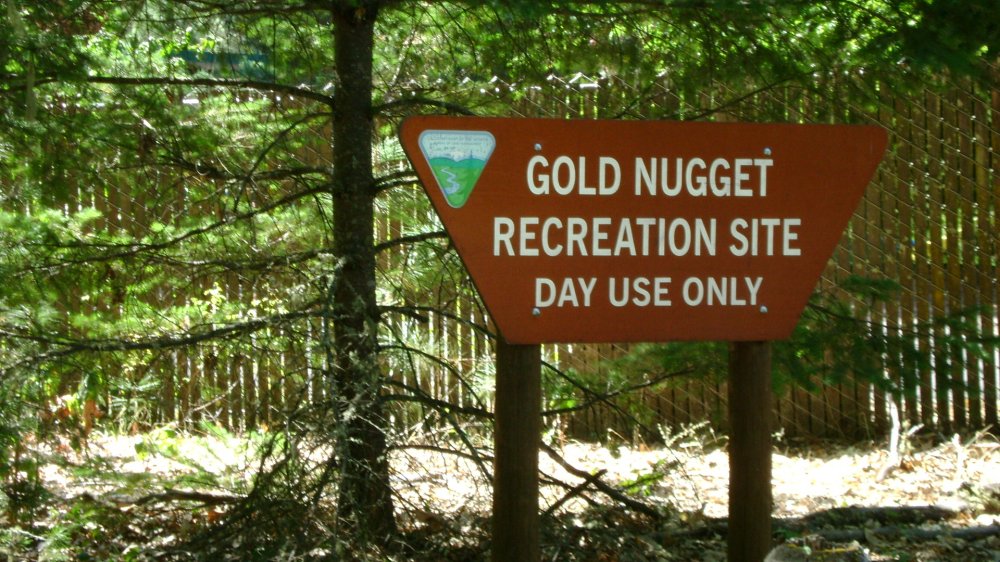
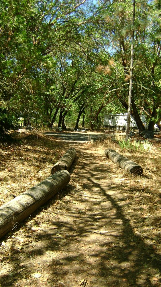
River Access, Parking
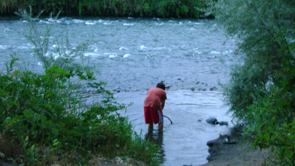
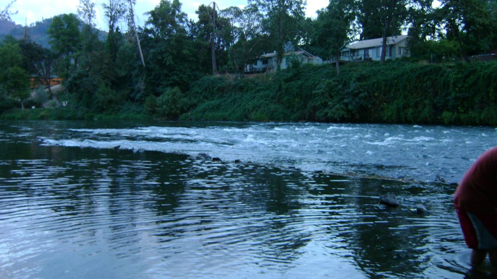
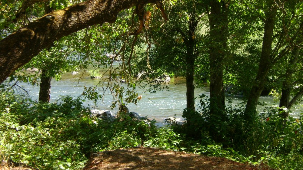
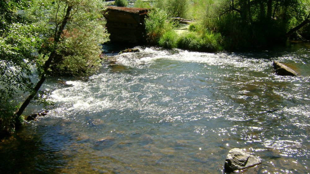
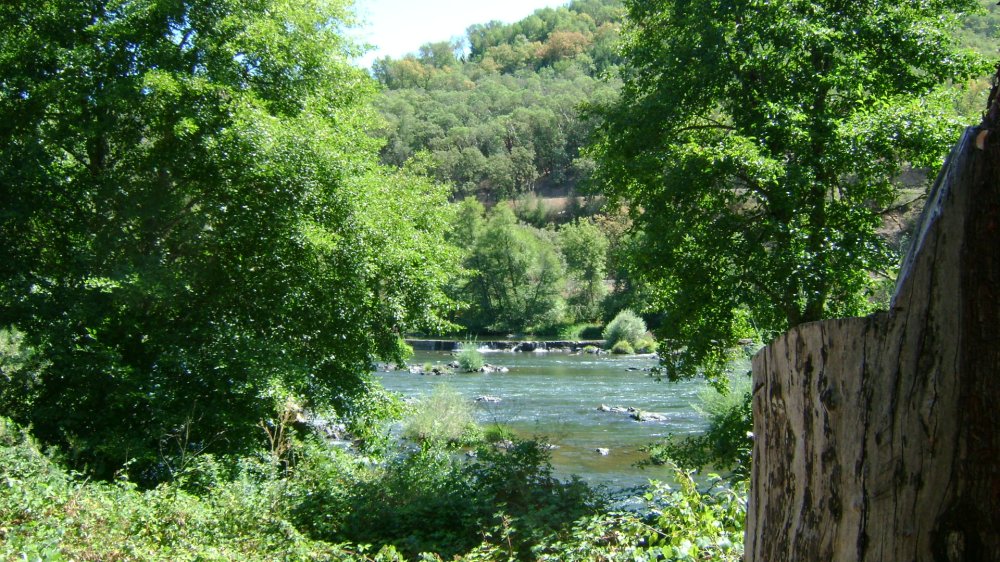
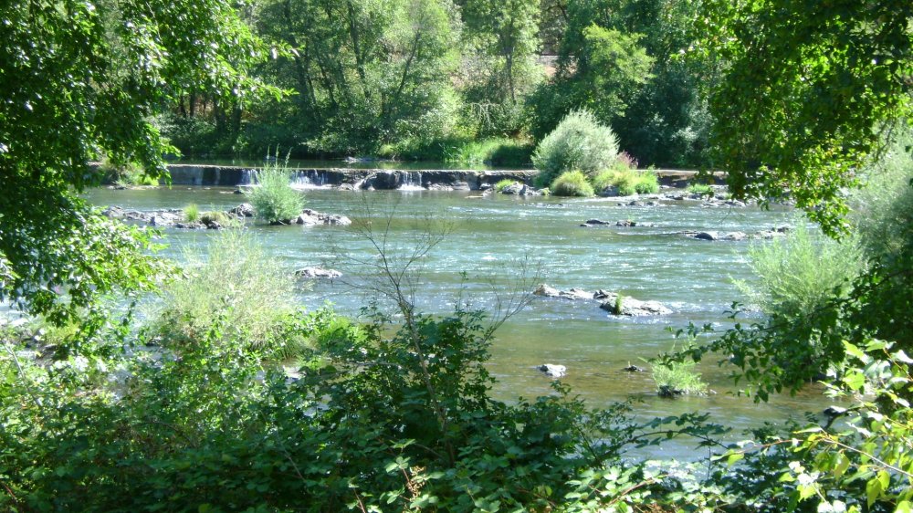
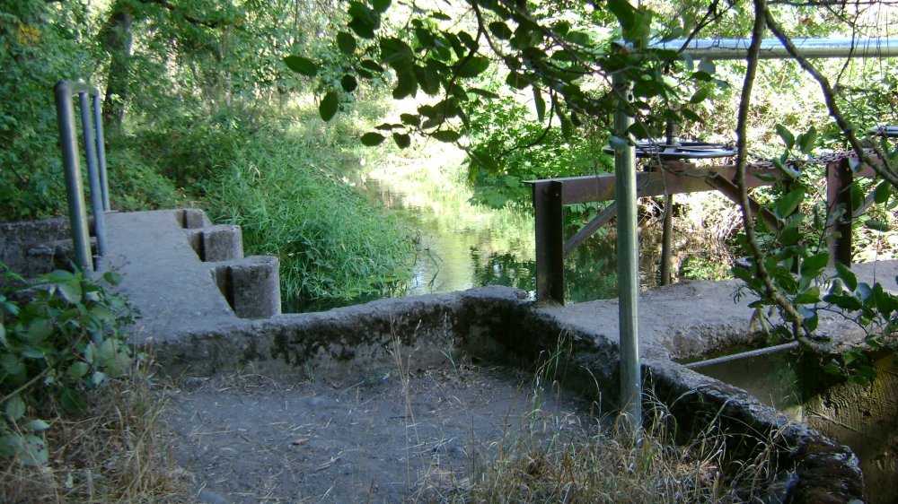
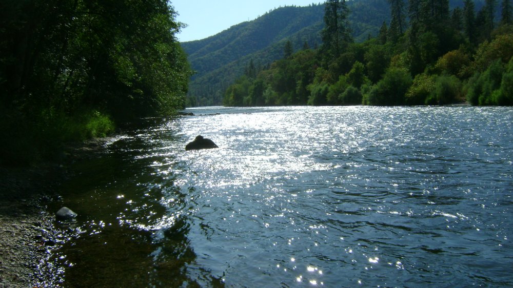
This place is a bit rocky and uneven but provides a great river access. There are 2 river locations.
Note: Since this is a popular area for locals to recreate by day and night, it would probably be wise to not leave your gear sitting or floating near the access. Some members are floating their gear further up river and tying it off overnight where it is not visible from the road access points.


Upper Klamath :: Upper-mid Klamath :: Mid Klamath :: Lower Klamath
Elk Creek :: Indian Creek :: Scott River :: Thompson Creek
Salmon River Main Stem :: Salmon River North Fork
Master List of Mining Properties


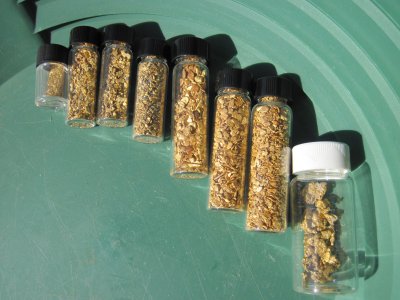 Well, here’s my total gold from