Important note concerning Mining & Dredging Seasons on this Property

Google Earth Coordinates: 41 49’24″N 122 57’47.3″W

To view the content from the link above you will need to have Google Earth installed on your home computer. Download Google Earth


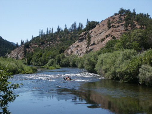
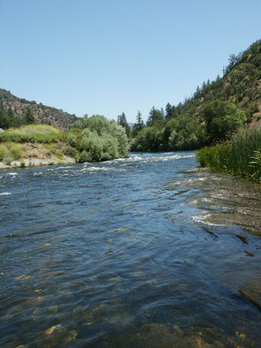
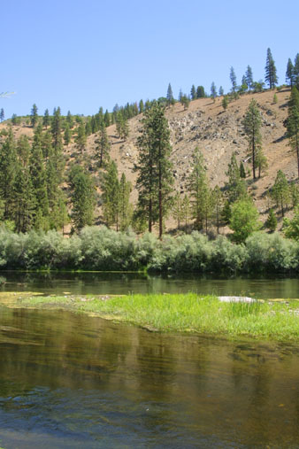
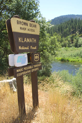
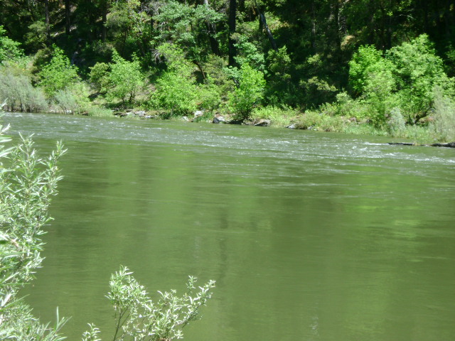
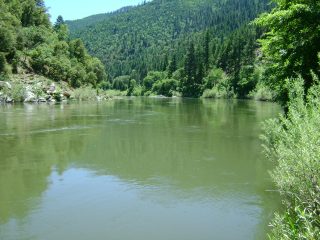
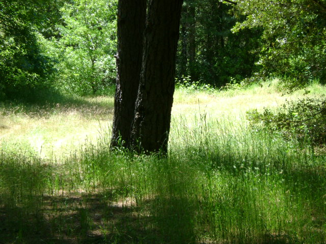
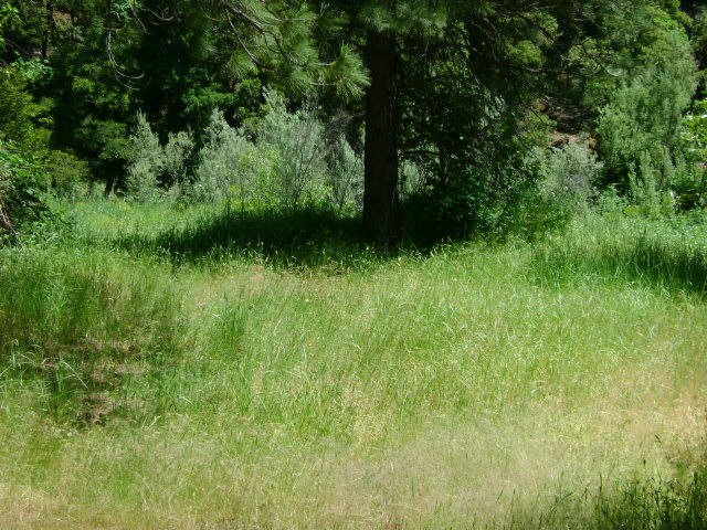
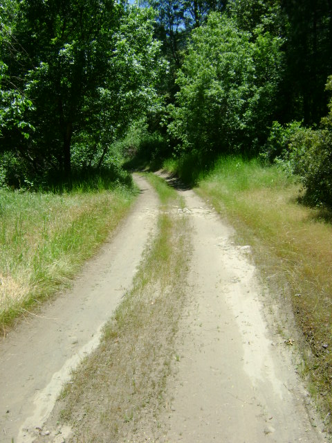
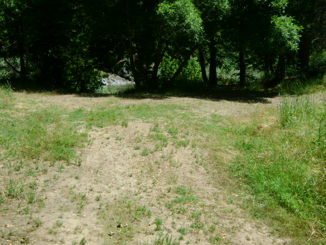
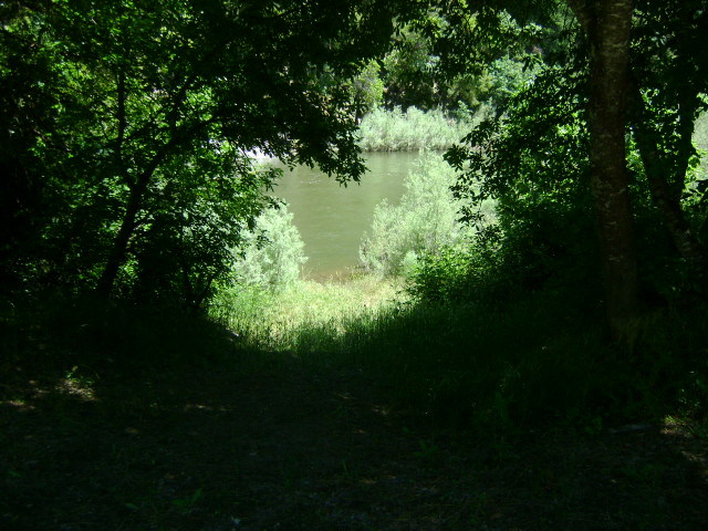
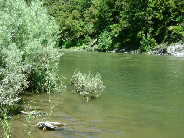
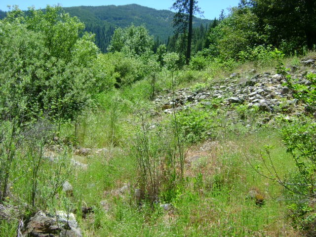
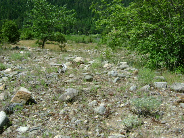
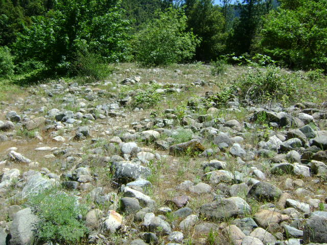
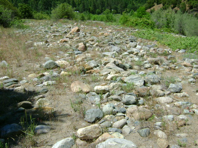
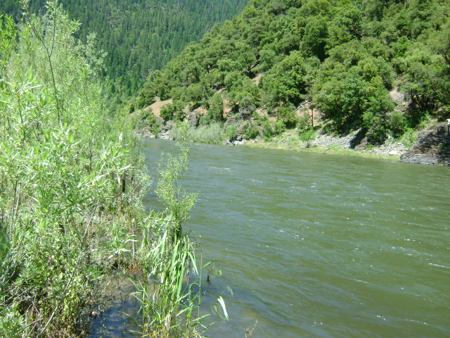
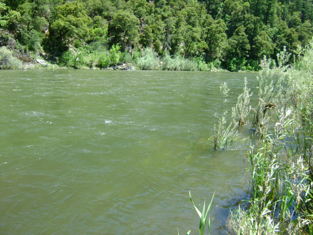
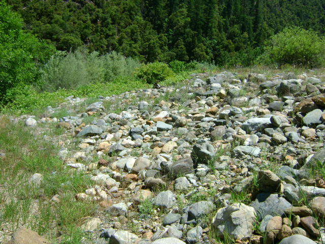
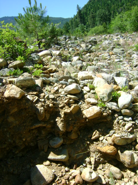
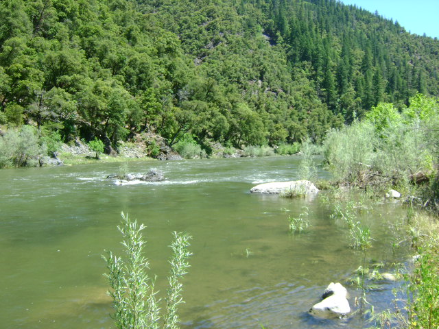
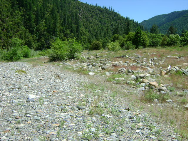
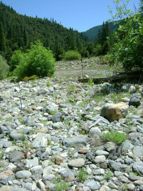
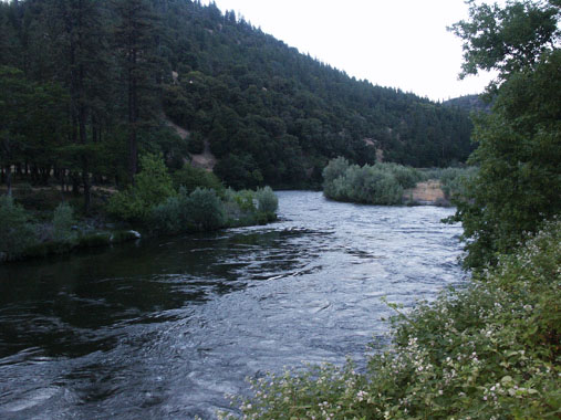
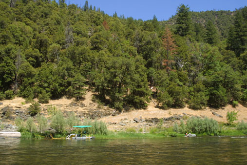
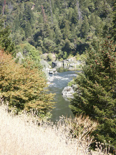
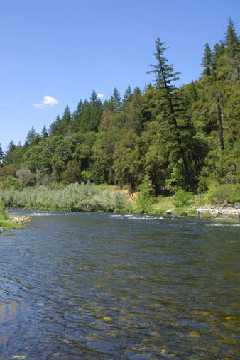
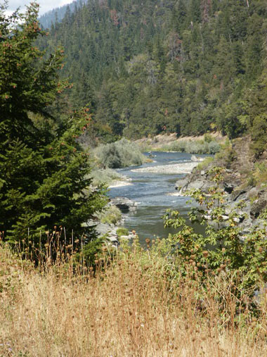
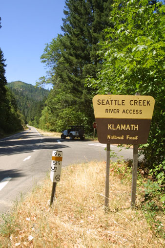
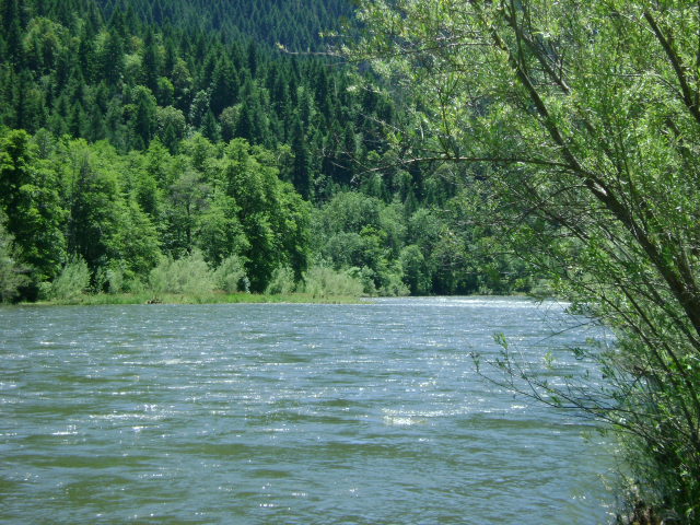
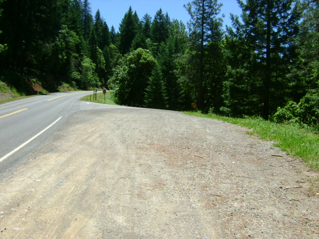
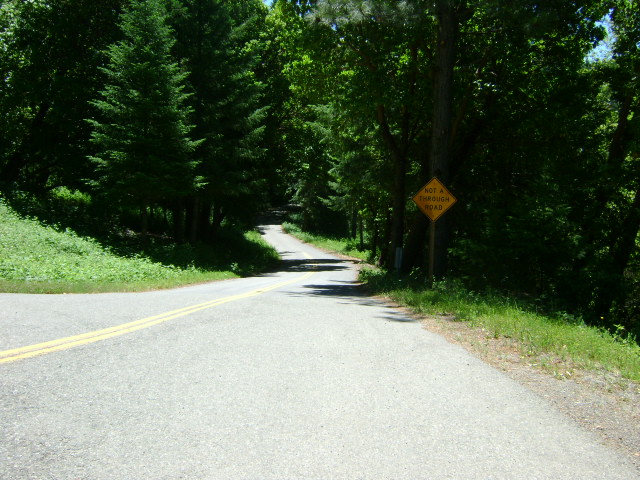
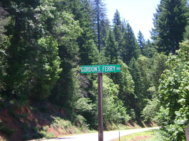
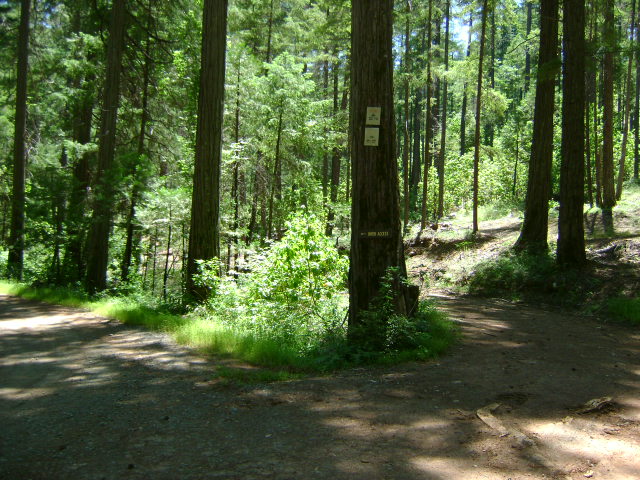
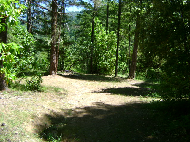
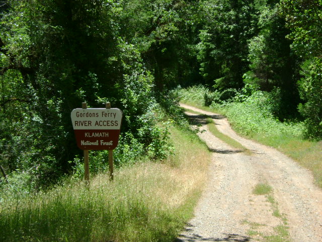
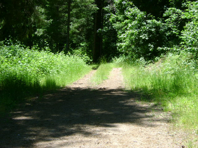
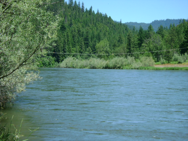
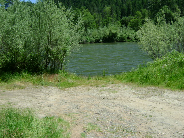
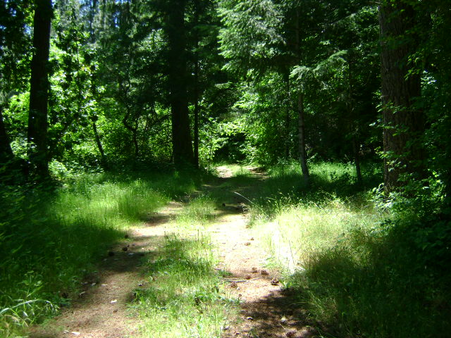
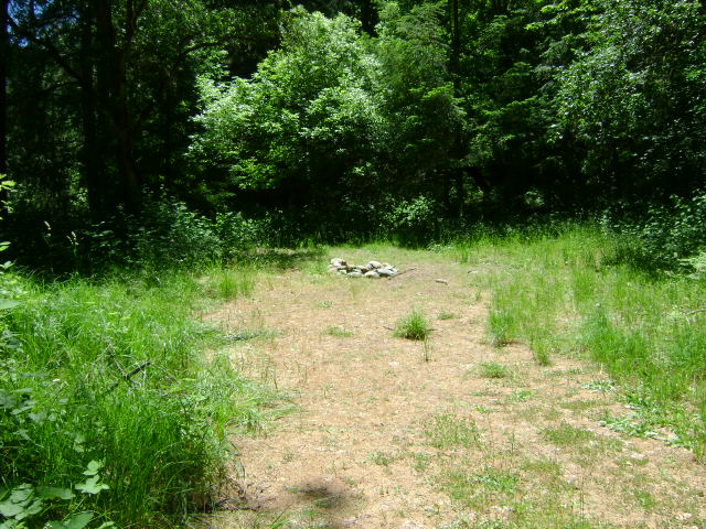
K-6 BROWN BEAR CLAIMS – are located six miles up the Klamath from its confluence with the Scott River. The claim is located 1/2 mile upriver from the Walker Creek Bridge-which is where Highway 96 crosses the Klamath River. This bridge is about a mile upriver from Horse Creek. The upriver claim boundary is marked on a tree down the hillside from Highway 96 at mile marker 78.50. The downriver boundary (mile marker 77.86) is also well posted on a tree along Highway 96, across from the Klamath River Elementary School-which is visible from the highway. There is a developed river access (mile marker 77.97) and campground toward the upper end of the claim. Look for the USFS access sign along the road. The far side of the river can also be accessed by driving along Walker Creek Road, which is located just downriver from the Walker Creek Bridge. There is some private property on the far side of the river between Walker Creek Road and the river-watch for signs. Access is relatively easy from the Highway 96-side. The Forest Service restricts Club camping in this campground to a 2-week limit.

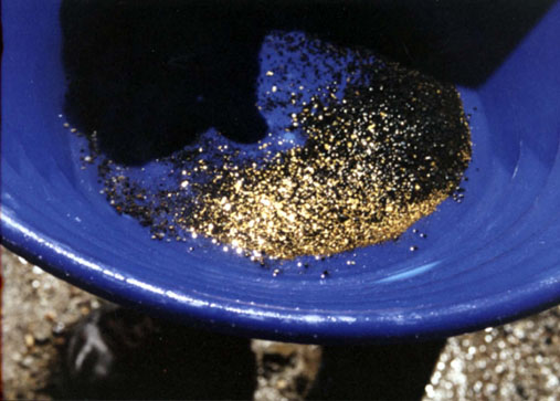
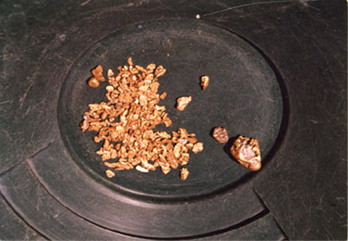
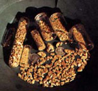
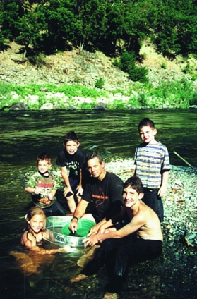
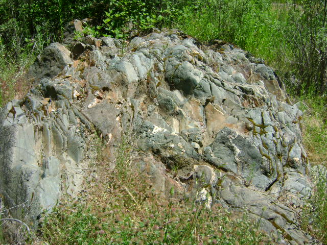
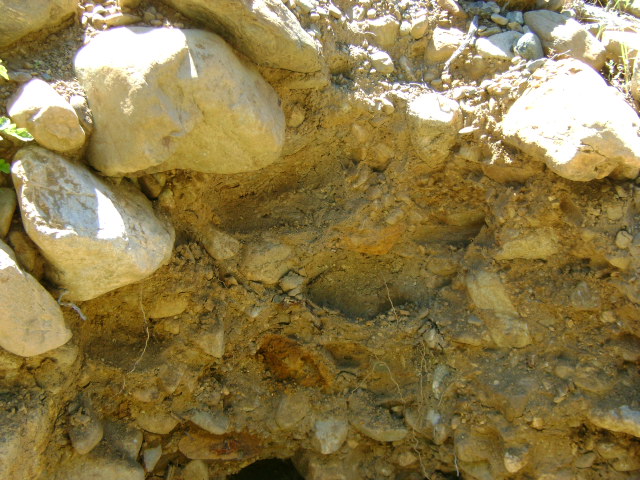
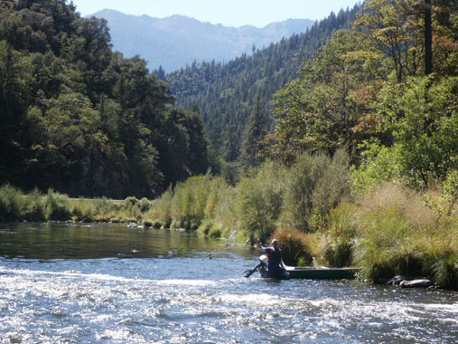
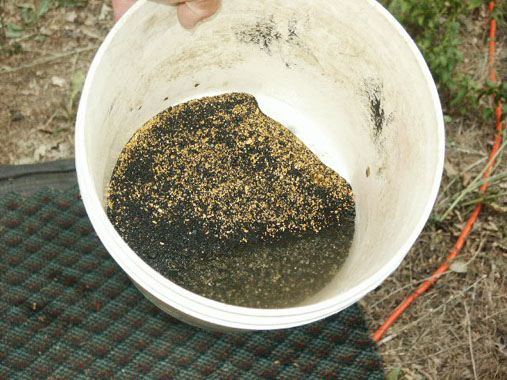
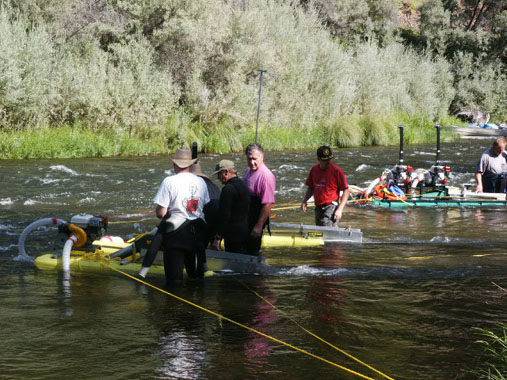
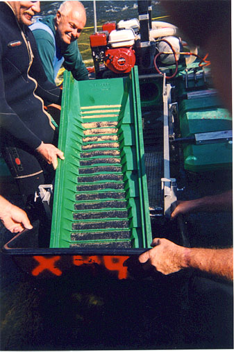
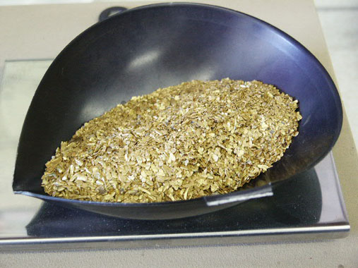
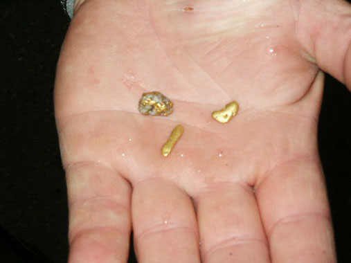
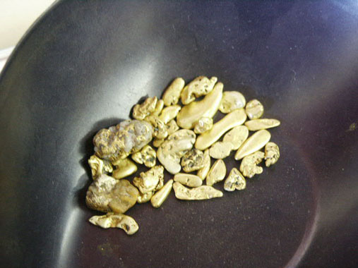
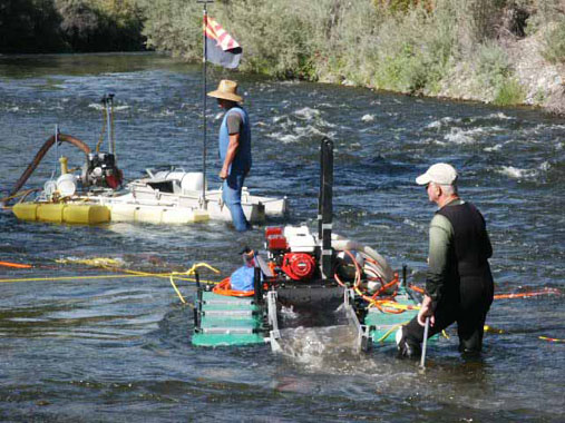
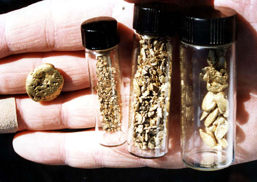
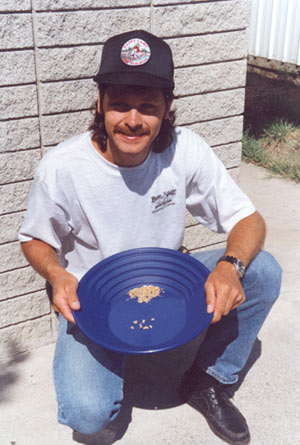
PROSPECTS: This claim has been producing good gold deposits for suction dredgers in relatively shallow gravel, on both sides of the river and the center. Most of the activity so far has been in and around the rapids located just down from the campground. For the most part, the claim has not yet been sampled and mined. The Club sponsored a Group Dredging Project on K-6, and recovered around several ounces of gold in around 5 days of work. You can read about the adventure at Two Gold Strikes At Brown Bear (K-6).

Click on thumbnail for larger image

Map Thumbnail

Topo


Important note concerning Mining & Dredging Seasons on this Property

Google Earth Coordinates: 41 51’36.6″N 123 18’33.3″W

To view the content from the link above you will need to have Google Earth installed on your home computer. Download Google Earth


K-16 ANDERSON CAMPGROUND CLAIMS – Located approximately 11 miles upriver from Happy Camp on Highway 96. The upriver boundary (mile marker 52.50) is located just downriver from the confluence of Thompson Creek. Look for the large piece of bedrock jutting up out in the river on the Hwy 96-side of the river. There is a “Private Property” sign hanging in some brush there alongside of the river. The downriver boundary (mile marker 51.85) is posted on a tree alongside the road, just downriver from the lower access to our campground. The campground (long-term) is located between Highway 96 and the Klamath River, 1/4 mile downriver from Thompson Creek near mile marker 52.28. Look for a “No Hunting” sign at the beginning of the road that leads into the campground off Hwy 96 towards the river. This is a popular camping area. There are several parcels of private property located between Highway 96 and the river, between Thompson Creek and our campground-but most of the private property does not come near the Klamath River. There is one small piece of private property that extends out about to the center of the river, directly at the confluence of Thompson Creek. The primary access to this claim is from the campground river access points.

PROSPECTS:This is a very rich section of the Klamath River, with hundreds of ounces of gold having been recovered by members during the past several years-mostly by dredging. There are nice nuggets being recovered from the road-side of the river downstream from Thompson Creek. Water and gravel depth ranges from shallow to deep, depending on where you go. Gravel tends to be shallow on both banks on the upper half of the claim, while deep in the middle. Only about 1/3 of the claim has been mined by members, if that, and good potential is present for new, rich strikes to be made. There is excellent panning and high-banking opportunity on the Highway-96 side of the river, from the bottom to the top-end of the claim. If you look towards the upper-end of the property, you will see that there are at least 3 separate levels of streambed up out of the water that deserve testing.

Click on thumbnail for larger image.

Map Thumbnail

Topo
 

Upper Klamath :: Upper-mid Klamath :: Mid Klamath :: Lower Klamath
Elk Creek :: Indian Creek :: Scott River :: Thompson Creek
Salmon River Main Stem :: Salmon River North Fork
Master List of Mining Properties


Important note concerning Mining & Dredging Seasons on this Property

Google Earth Coordinates: 41 49’16.3″N 123 0’35.9″W

To view the content from the link above you will need to have Google Earth installed on your home computer. Download Google Earth


K-6A HORSECREEK CLAIM – is located approximately 1 1/2 miles downstream from the suspension bridge at Horse Creek. Both the upper and lower boundary signs are posted near trees along Highway 96 (lower is approximately 200 feet upstream from mile marker 75.00) . There are some trails which provide access to the river.
PROSPECTS: Horse Creek had a rich history. The claim is located in a very proven section of the Klamath River.


Map Thumbnail

Topo


Important note concerning Mining & Dredging Seasons on this Property

Google Earth Coordinates: 41 48’22.9″N 123 1’0.8″W

To view the content from the link above you will need to have Google Earth installed on your home computer. Download Google Earth


K-7 KINSMAN CREEK CLAIMS – are located at the confluence of Kinsman Creek, which is two miles up the Klamath from its confluence with the Scott River. Kinsman Creek is not marked with an official sign, but it is a visible creek which enters the Klamath from the Highway 96-side. The upper boundary (near mile marker 74.00) butts up to posted private property at the lower end of the first gravel bar upstream from Kinsman Creek. The lower boundary (near mile marker 73.60) is clearly posted on a tree alongside the highway. Access to the river is reasonably easy.

PROSPECTS: Members have been doing really well dredging on this claim at the top end, in and around the river bend, and at the lower end. So far, very little work has been done in-between. There is a lot of fine gold throughout all the streambed material on these claims. The highest-grade deposit we know of was recovered off the top of a cemented gravel layer near the bedrock towards the upper end of the claim. There are nuggets. The Club sponsored a Group Dredging Project on K-7, and recovered around 7 ounces of gold in around 5 days of work. You can read about the adventure Here.

Then we followed up with yet another great adventure, recovering another six ounces of beautiful gold. This exciting story with free video segments can be found Here

Click on thumbnail for larger image.

Map Thumbnail

Topo

Map Thumbnail

3D Down

Map Thumbnail

3D Up

Map Thumbnail

Aerial

Map Thumbnail

Satellite


Important note concerning Mining & Dredging Seasons on this Property

Google Earth Coordinates: 41 49’14.6″N 123 18’8.1″W

To view the content from the link above you will need to have Google Earth installed on your home computer. Download Google Earth


K-17 SEATTLE CREEK CANYON CLAIM – The downriver boundary (mile marker 49.12) is located 7.3 miles upriver on Highway 96 from Davis Road in Happy Camp. A sign is posted on a tree alongside the road. The upper boundary (mile marker 51.00) is located 2 miles further upriver, near the confluence of Seattle Creek. There is a developed river access (mile marker 51.00) at Seattle Creek, where we have a small campground. The Forest Service asks that we do not block the river access in any way, since it is a popular put-in and take-out location for other river users.

PROSPECTS: This is a very proven gold-rich section of the Klamath River, with hundreds of ounces of gold having been recovered by Club members during the past several years. Much of this section of the river has yet to be tested. Some of it is pretty deep, both in water and gravel. There is excellent gold panning, mossing and surface mining on both banks of the river. The far bank has barely been touched by modern mining activity because access requires a boat. Trails and paths have been made from Highway-96 to the river in multiple locations along the 2-mile stretch of claims. Some members have transitioned from prospecting to commercial status as a result of the gold they recovered from these claims. Prospects for new discoveries are very good.

Click on thumbnail for larger image.

Map Thumbnail

Topo

Map Thumbnail

Lower 3D Down

Map Thumbnail

Lower 3D Up

Map Thumbnail

Upper 3D Down

Map Thumbnail

Upper 3D Up

Map Thumbnail

Aerial Lower

Map Thumbnail

Aerial Upper

Map Thumbnail

Satellite

Upper Klamath :: Upper-mid Klamath :: Mid Klamath :: Lower Klamath
Elk Creek :: Indian Creek :: Scott River :: Thompson Creek
Salmon River Main Stem :: Salmon River North Fork
Master List of Mining Properties


Important note concerning Mining & Dredging Seasons on this Property

Google Earth Coordinates: 41 46’52.0″N 123 19’44.2″W

Google earth view of the entire claim, the location of private property, and our Gordon’s Ferry location downstream.

To view the content from the link above you will need to have Google Earth installed on your home computer. Download Google Earth


Klamath River Claim K-18


K-18 GORDON FERRY CLAIM – Located by driving upriver from Happy Camp on Highway 96 a distance of 2.3 miles to Gordon’s Ferry Road (mile marker 44.25) from Davis Road. Follow Gordon’s Ferry road, watching for signs that will direct you to the river access on our claim. The road turns to gravel and branches off to driveways for different private properties. Stay on the main road. Eventually, the road splits, with Club claim signs pointing in both directions. The right-hand road is not maintained and does not go to the river. But there is some limited camping there. It is suggested you walk in and look before driving in there. The left-hand road leads to a USFS developed river access. We have a campground at this location, which may require some brushing. The upriver claim boundary is located approximately 300 yards upriver from the developed river access. The downriver boundary is located approximately half a mile downriver and has a boundary sign posted on a tree. Private property is located on the far bank, but there is some limited access from that side.

PROSPECTS: This is a very proven, rich section of the Klamath River, with gold mining history going back to the very early days. A large amount of gold has been recovered by members all over this claim on both sides of the river and in the middle. Members have recently been working a significant underwater dredge deposit on the far bank across from the developed river access, upstream from the first set of rapids. The lower-end of the claim has not been adequately tested, but should contain rich deposits, since rich deposits have also been located on the adjoining claim just down river. Bedrock can be shallow or deep, depending upon where you go on the claim. There is potential good high-banking ground towards the lower-end of the property near the river, and there is an extensive old hydraulic mining area where electronic prospecting might be productive.

Upper Klamath :: Upper-mid Klamath :: Mid Klamath :: Lower Klamath
Elk Creek :: Indian Creek :: Scott River :: Thompson Creek
Salmon River Main Stem :: Salmon River North Fork
Master List of Mining Properties


TYPES OF MINING PROPERTY: We have access to miles of beautiful creek property on the forks of Elk Creek, Indian Creek, Thompson Creek, the Scott River and the Main Stem & North Fork of the Salmon Rivers –all proven in their gold production. Depending upon the property location, water depth can be inches deep to five feet deep or more. Streambed material depth can be the same. There are some areas with a great deal of gold-catching bedrock showing. Gold deposits in creeks and small rivers tend to be more spotty and inconsistent than deposits along the Klamath River. Also, creeks and some areas of small rivers tend to yield more gold in the boulders. Creek prospectors should come prepared with boulder-moving equipment.

Along the miles upon miles of Klamath River properties, water depth can be from inches deep to 15 feet or more in some locations. Streambed material depth can be the same. We have an enormous amount of property available on the Klamath for all different types and sizes of operations.

While the Klamath is a fair-sized waterway, members and guests have found an abundance of mining areas suited for panning, mossing, sluicing (with and without motorized pumps), dry-washing, electronic prospecting and other types gold prospecting activity.

MINING & DREDGING SEASONS IN CALIFORNIA: The State of California recently passed a law which has placed a statewide moratorium on suction dredging in California until the Department of Fish & Game (DFG) completes an updated Environmental Impact Report (EIR). This EIR process has already begun. Under the present schedule, public hearings will begin in November of 2009. DFG is projecting to complete the process by the fall of 2011. Click here for more information.

Just in case you didn’t know, this new law only stops suction dredging within California’s active waterways. It does not have anything to do with the other types of prospecting or mining that we do in California. Unaffected prospecting activities include panning, sniping & Vack-mining, sluicing & high-banking, booming, electronic prospecting and other types of prospecting that do not use a suction nozzle within an active stream, river or creek. It also does not affect our group weekend projects.

There are no seasons imposed upon these other types of mining activity. In other words, you can do them at any time of the year.

Please be advised that these other types of mining activity along New 49’er properties are subject to a strict set of Surface Mining Operational Guidelines.

As the suction dredging seasons in California have been suspended, we have identified some fantastic suction dredging opportunities for our members in Southern Oregon.


HOW SOME MEMBERS HAVE DONE: Prospecting operations on our gold properties usually fall into three general categories: Small-scale, intermediate-scale, and large-scale.

It is very common for our smallest-scale members to recover a pennyweight (1/20th of an ounce) or two of gold per day in their small dredging or shoveling activities. Some of our relatively new members have panned or shoveled as much as an ounce per week along our gold properties.


Our more experienced, intermediate-scale members can and do recover 1/4 ounce per day on a regular basis. Some of our individual members using sluices (using motorized pumps to provide water up on the stream bank) were averaging 1/4 ounce per day during a past season–even though one or two pennyweight per day is more common.


Not everyone recovers this much gold, but many of those who apply themselves to learning prospecting techniques have done this well and better.

Some of our more serious intermediate dredging members have averaged well over an ounce of gold per day at times. And some of our most serious, larger-scale dredgers (8-inch and 10-inch suction dredges along the Klamath River) have averaged in the multiple ounces per day range. Again, they prospected around to find higher-grade gold deposits.


It is common for people to ask us for average gold value figures contained within the gravels along the gold properties available to members. Placer gold deposits are not consistent enough to place an average figure on 60 linear miles of area! Some areas are great; some areas are poor; and some areas are in-between. How much gold you can expect to recover largely depends upon your level of ability and prospecting experience, size of equipment, how much work you are prepared to do–and partly on your luck. However, we feel a prospector largely creates luck by energetically undertaking proper sampling techniques. We can guarantee you are going to recover gold on the Klamath and Salmon Rivers. How much you recover depends entirely upon your approach.

We have had a fair number of members start from scratch and evolve their activity into lucrative small-scale, commercial mining operations. We have many success stories of this kind, and some members have done exceptionally well!

Since gold prospecting, like any other activity, has a learning curve, you need to study how to do it and get some experience under your belt to be continually successful. The New 49’ers have an ongoing program, which consists of organized group mining projects where we actually go out and do it, to help you with this. Generally, you can expect to do as well as you apply yourself to the available opportunities.

Just about all of our members agree that they have done better along our gold properties than elsewhere, and agree that there are no better gold opportunities available anywhere.

 
Morgan's GoldPROPERTIES LOCATED NEAR HAPPY CAMP, CALIFORNIA: We now have access to 60 miles of gold properties near our Happy Camp facility. Approximately half of this region’s property is located on the Klamath, Salmon and Scott Rivers (in northern California near the Oregon border). About half is on the creek and tributaries to these rivers, not far from the small, but friendly, full-service town of Happy Camp.


Siskiyou County, where our Happy Camp headquarters is located, is one of the highest gold-producing counties in California’s golden history. However, because this area is several hundred miles away from the famous, but congested, Mother Lode area or any large cities, it has not been heavily worked by modern gold mining activity. The opportunity for successful prospecting is excellent.

During the past twenty summer mining seasons, literally hundreds of thousands of dollars in gold-value has been recovered by small-scale gold prospectors (mostly New 49’er members) from the Happy Camp vicinity. New gold strikes are being made on a continuous basis. Because of our abundant property reserves, the surface has barely been scratched. Most of these available mineral properties have yet to be seriously tested or mined by our members, and we are adding more proven mining properties on a routine basis. Our policy provides for growth: It is better to have more than enough mining properties and have them set aside for the future of our members!

Getting to Happy Camp is a bit of a drive for some people, but we feel it is far better for members to spend a few extra hours on the road to get to a proven gold-producing area, rather than to spend an entire vacation prospecting somewhere else and not recover any gold!


THE OTHER SIDE OF THE RIVER: There is a lot to be said for bringing a small boat or rubber raft along if one is available to you. To a large extent, the far side of the Klamath and Salmon Rivers have yet to be prospected and mined by our members. Some of the best finds these days from motorized sluicing, vacuum-mining and panning are coming from the far side of the river.

Tags