Important note concerning Mining & Dredging Seasons on this Property

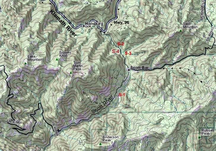
Google Earth Coordinates: 41 54’59.10″N 123 27’59.10″W

To view the content from the link above you will need to have Google Earth installed on your home computer. Download Google Earth


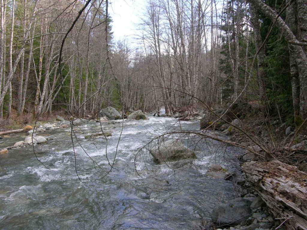
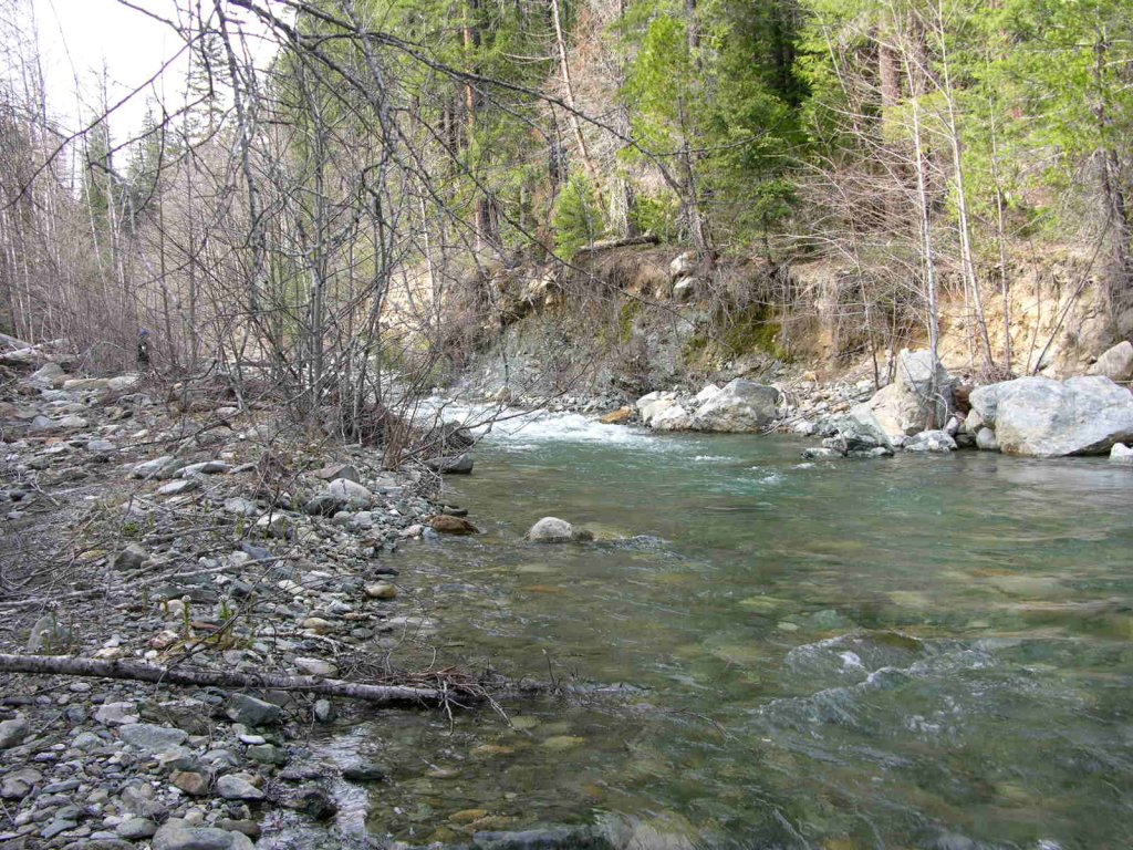
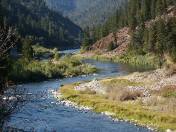
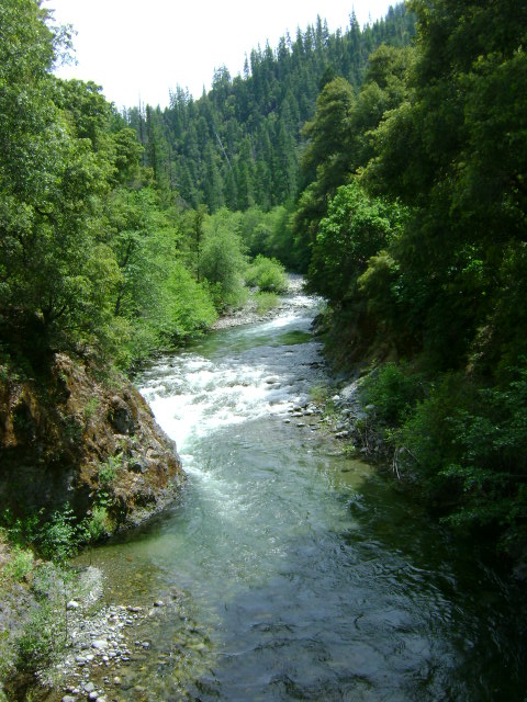
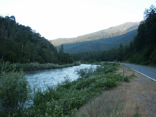
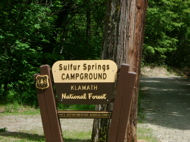
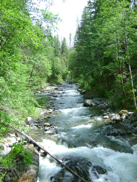
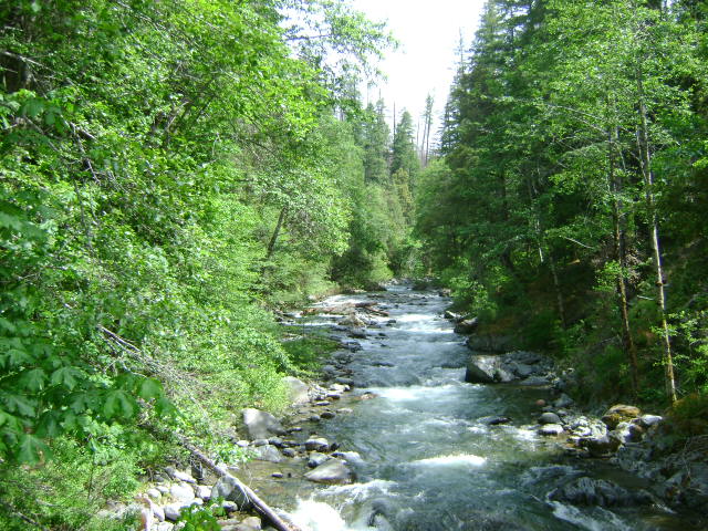
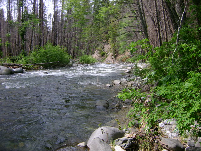
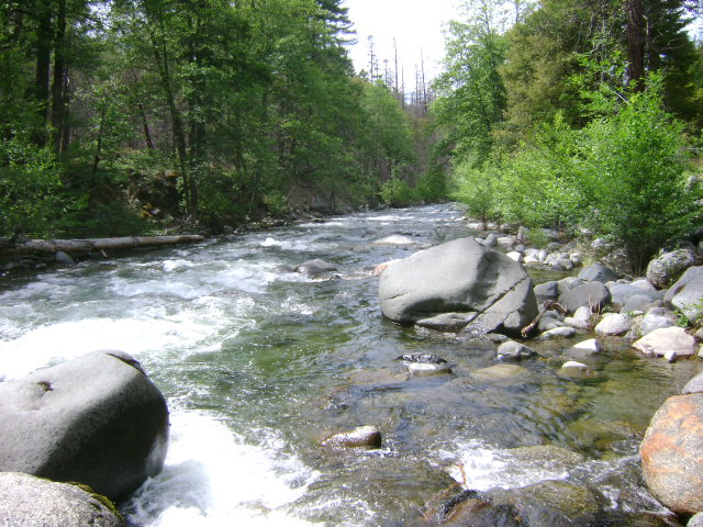
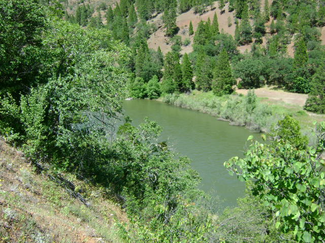
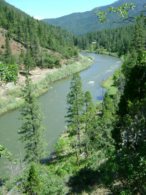
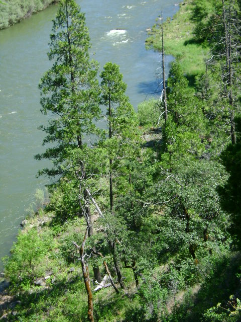
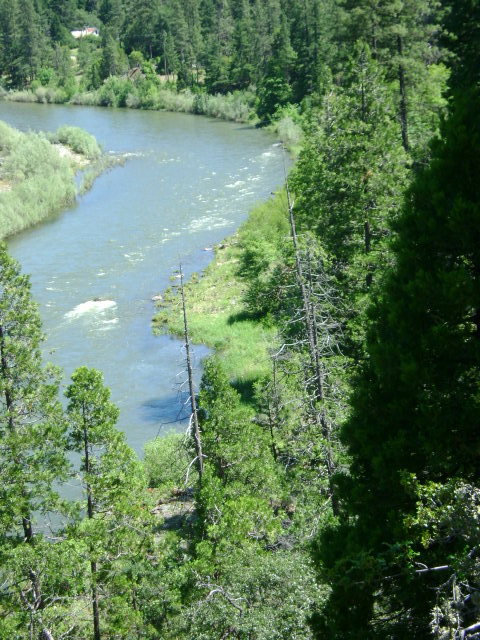
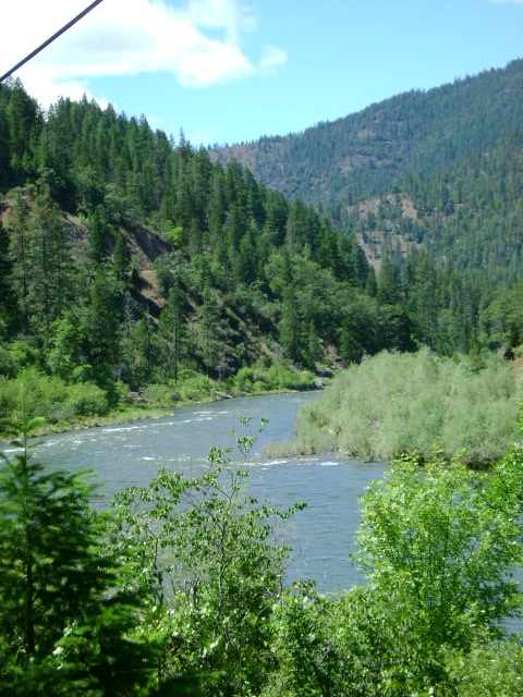
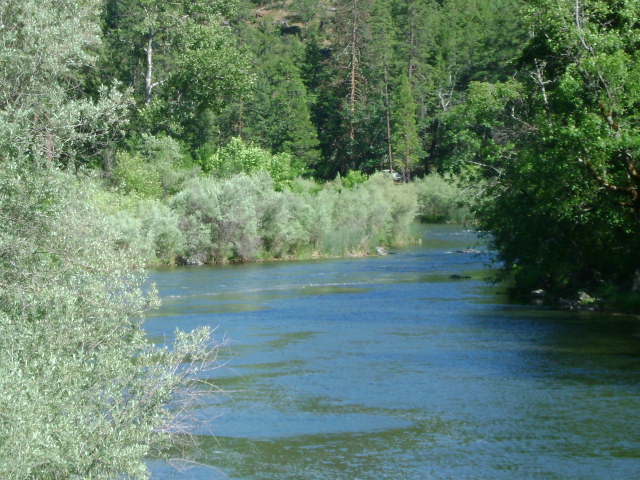
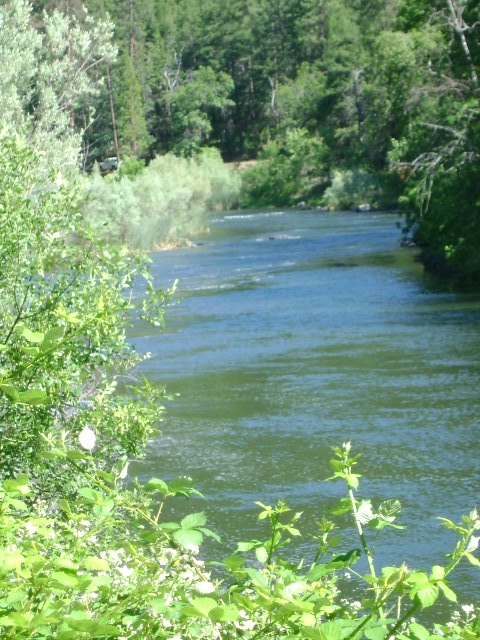
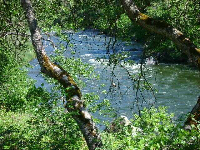
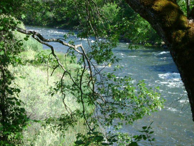
This property adjoins the upper-end of the Club’s I-2 property, just under the shadow of the historic Classic Hill Mine. The property then follows Indian Creek upstream all the way up to about a ¼-mile downstream of the Club’s I-3 property near the West Branch Campground on Indian Creek.

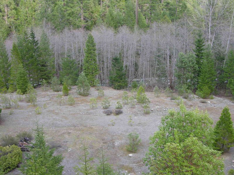
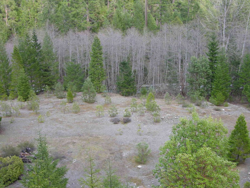
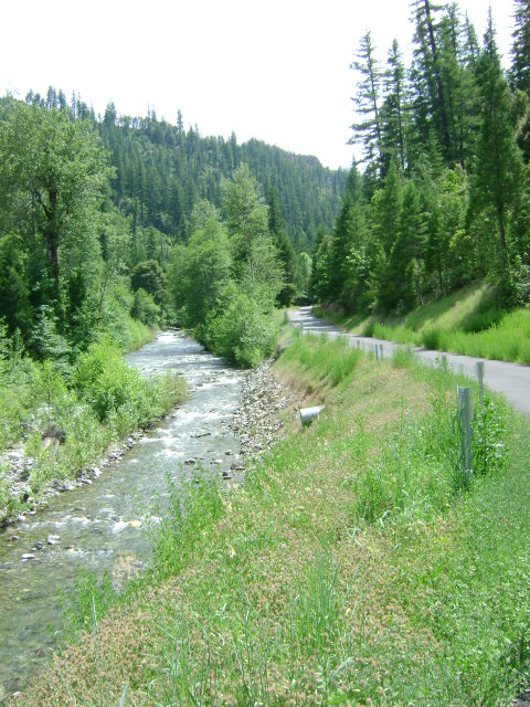
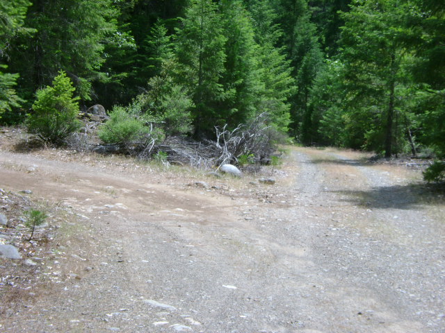
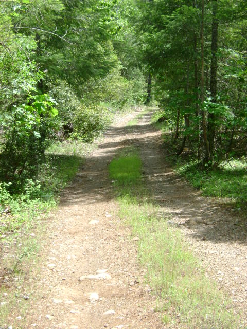
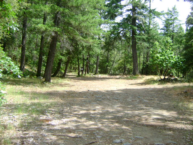
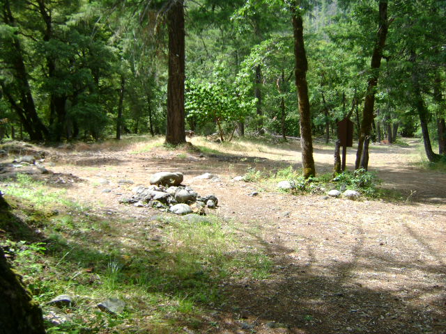
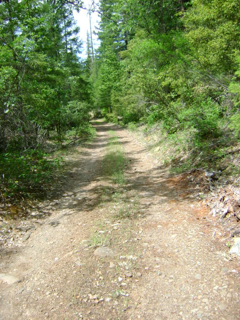
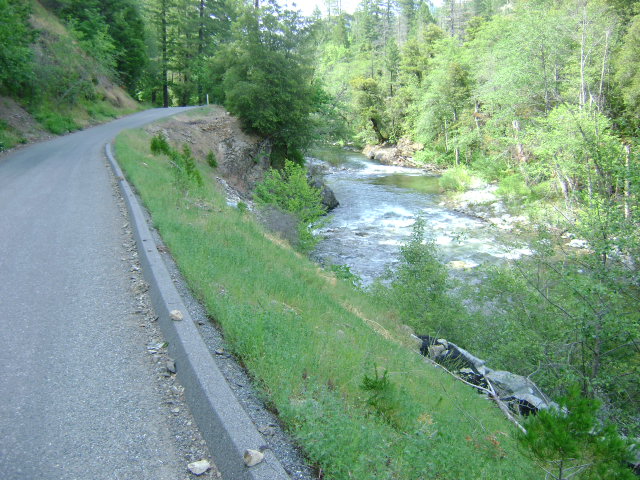
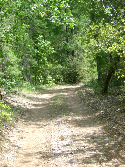
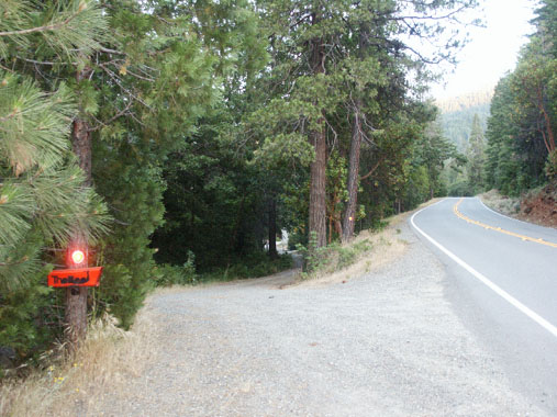
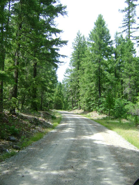
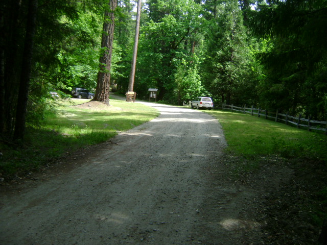
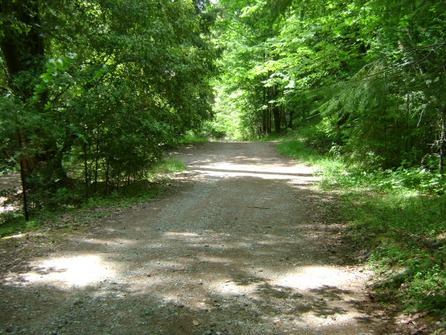
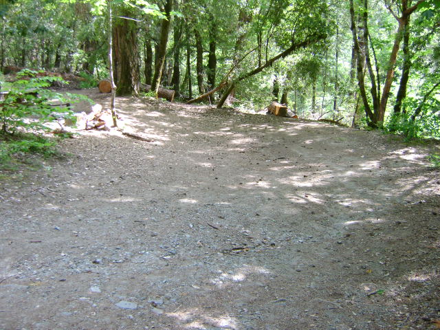
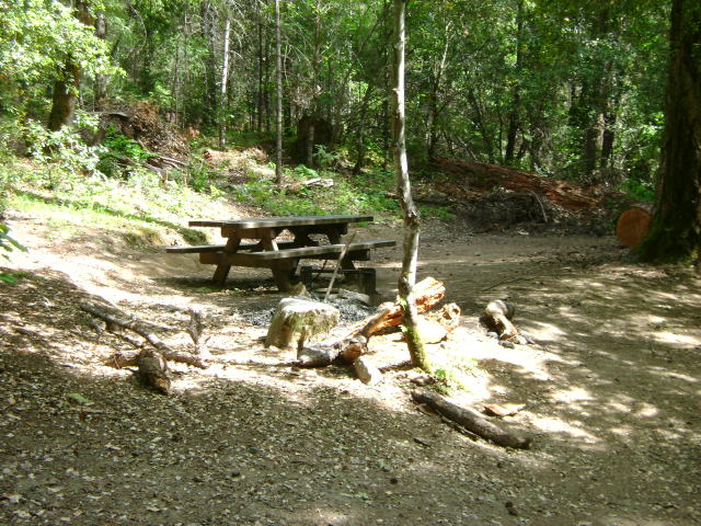
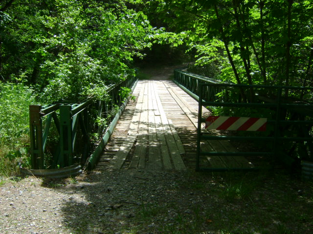
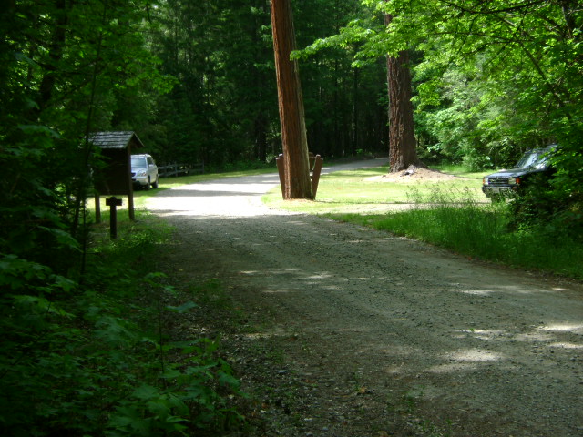
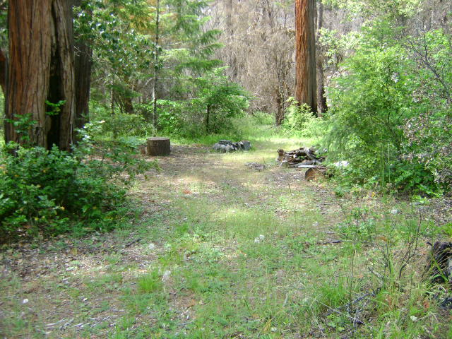
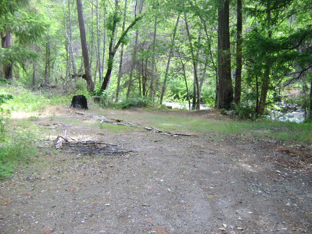
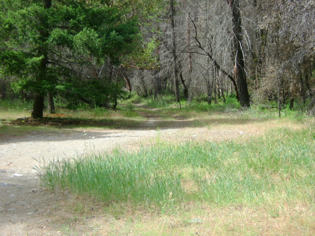
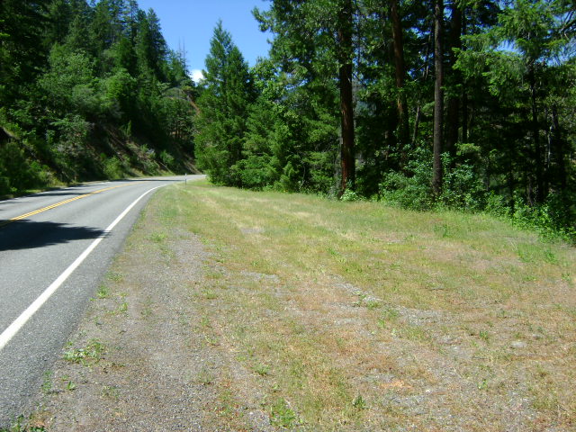
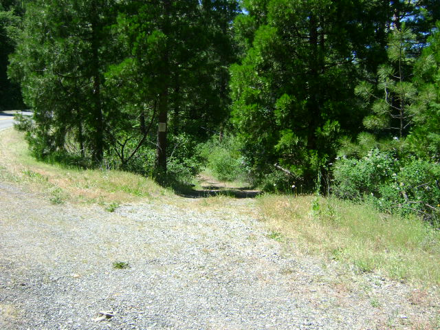
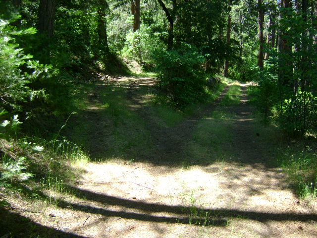
There is easy access towards the lower-end of this property (below the Classic Hill Mine), and near where Indian Creek Road crosses Indian Creek. Thereafter, Indian Creek Road winds its way up the hill towards Oregon, moving a bit further away from Indian Creek. However, there is a very nice unimproved dirt road which extends down onto this new property from up near the West Branch Campground. (Note; this road access was washed out during a storm in 2016)  Access to this road may require getting a key from the Forest Service (USFS) in Happy Camp to get through 2 gates which are presently blocking passage for vehicle use. A large flood washed out the bridge to the West Branch Campground several years ago; and since the bridge has yet to be repaired, the USFS has closed the gates, probably for public safety reasons. Some people have been riding trail bikes past the gates to gain access to this road. The road is in pretty good shape. It provides access directly to the creek and a nice camping area on this new property.

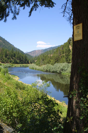
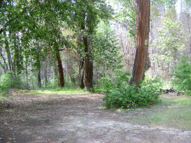
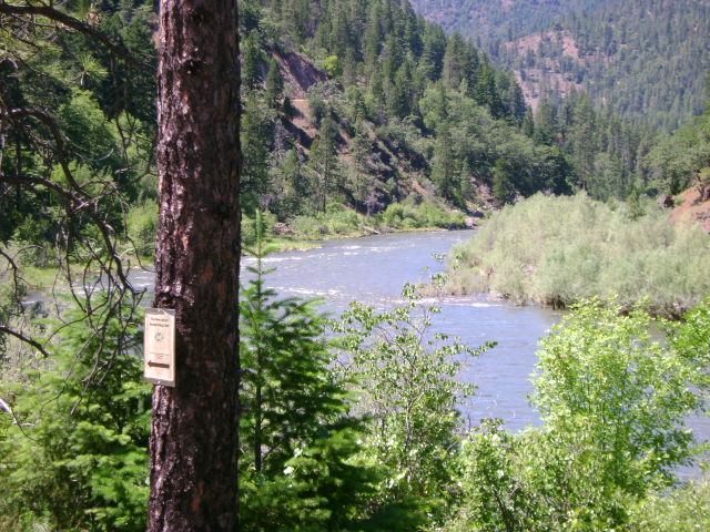
The lower boundary of I-2A is not marked, because the boundary adjoins I-2, another long Club property which follows Indian Creek further downstream. The upper boundary of I-2A is marked with a New 49’er boundary sign on a tree alongside of Indian Creek Road. There is a ¼-mile stretch of Indian Creek which separates the upper-end of I-2A and the lower-end of the Club’s I-3.

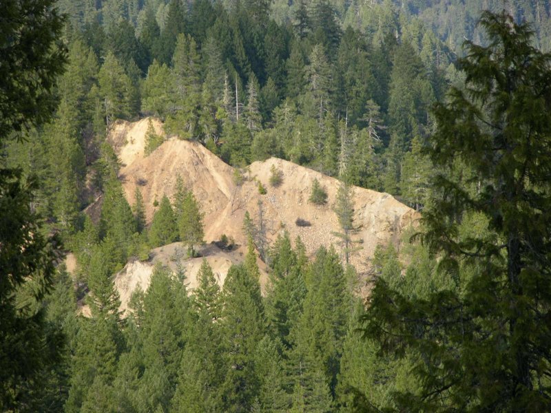
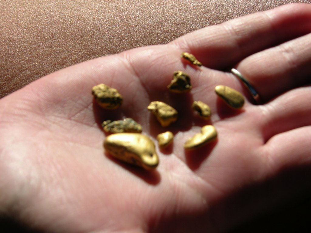
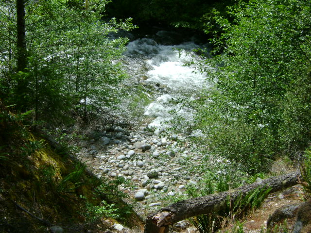
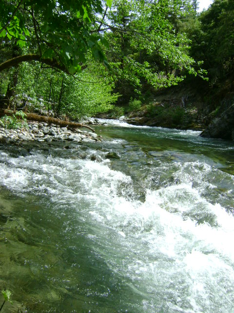
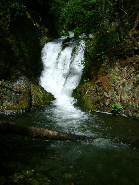
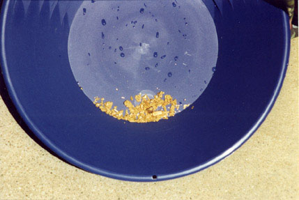
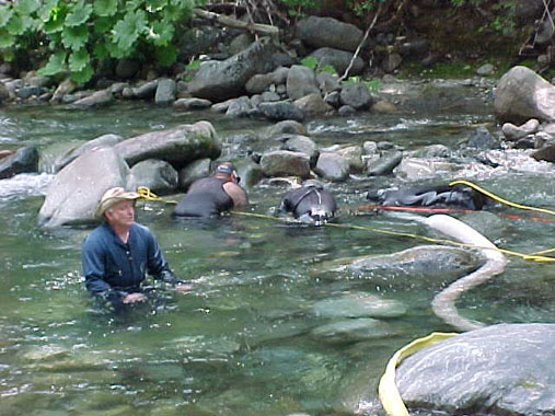
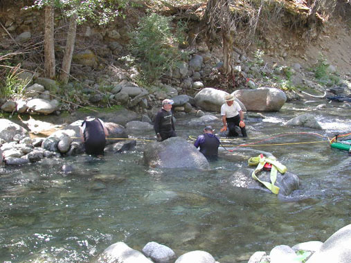
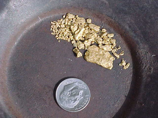
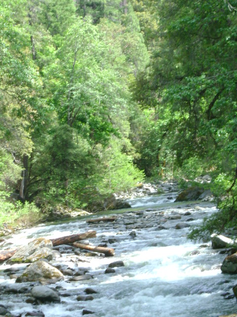
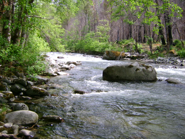
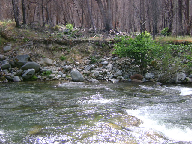
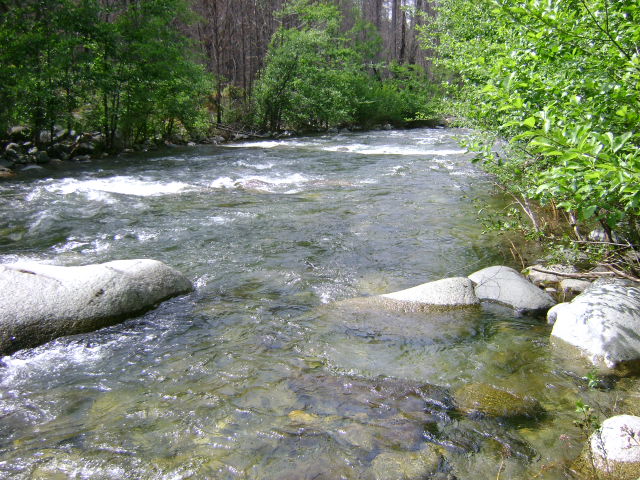
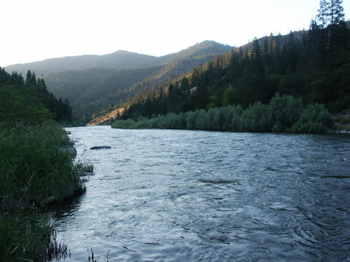
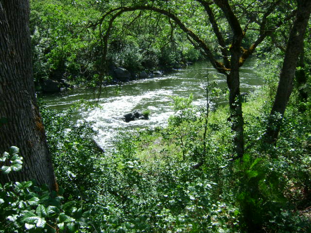
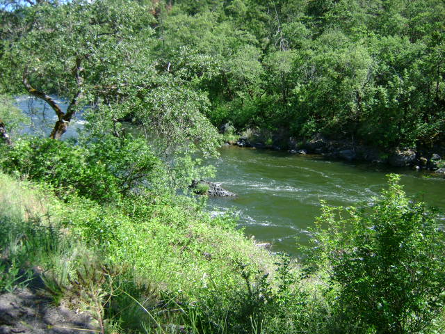
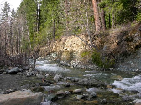
PROSPECTS: The prospects for high-grade gold and beautiful gold nuggets on this property are fantastic! One contributing reason for this is that the tail races from the famous Huey Mine discharged themselves directly into Indian Creek on this property!

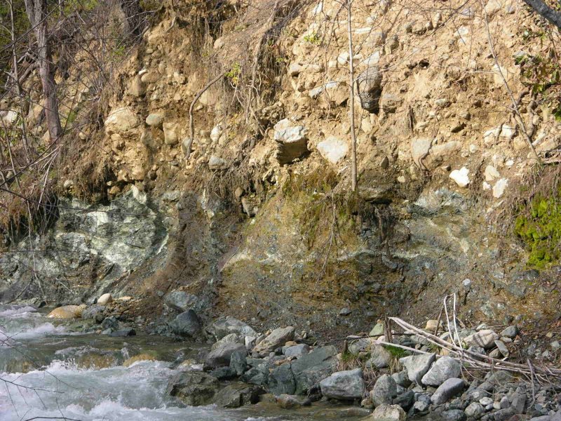
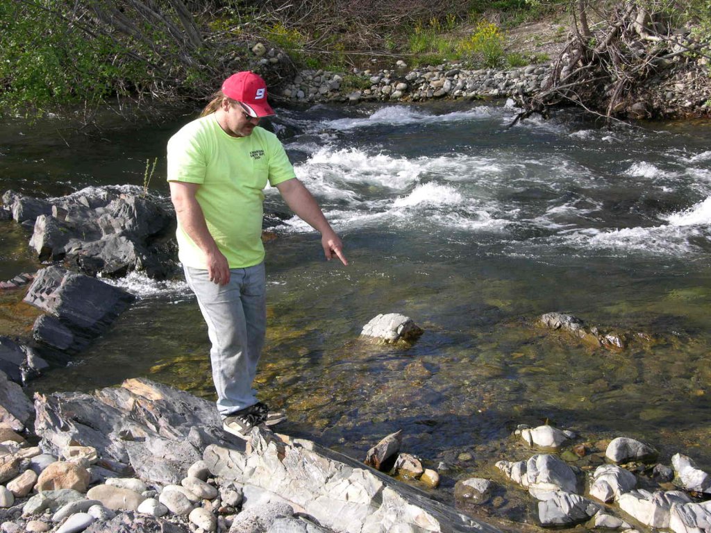
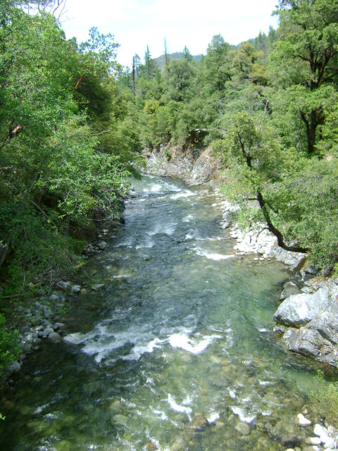
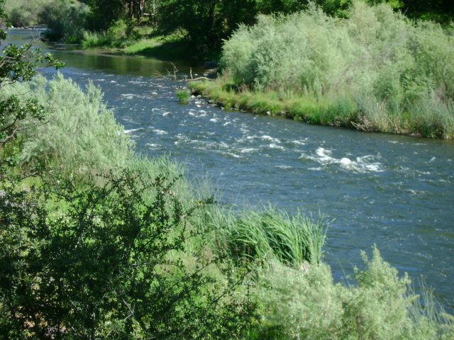
Several years ago, one of our more aggressive members, Dale Carnagey, dredged some sample holes on Indian Creek just below one of the tail races of the Huey Mine, and he was picking up really nice jewelry gold and nuggets before he realized that he was not on a Club property. To our knowledge, nobody has returned since Dale departed the area. In fact, it has been Dale’s constant encouragement that prompted the Club to acquire this property.

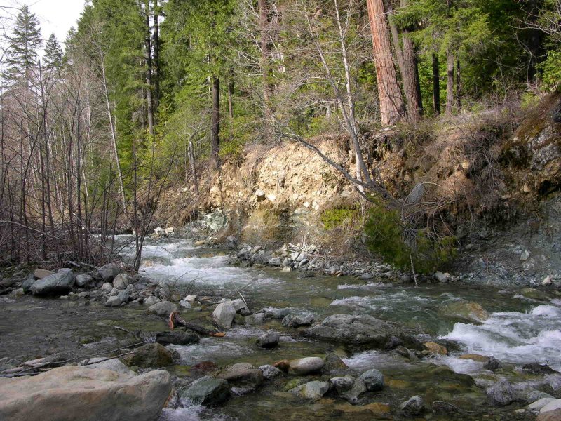
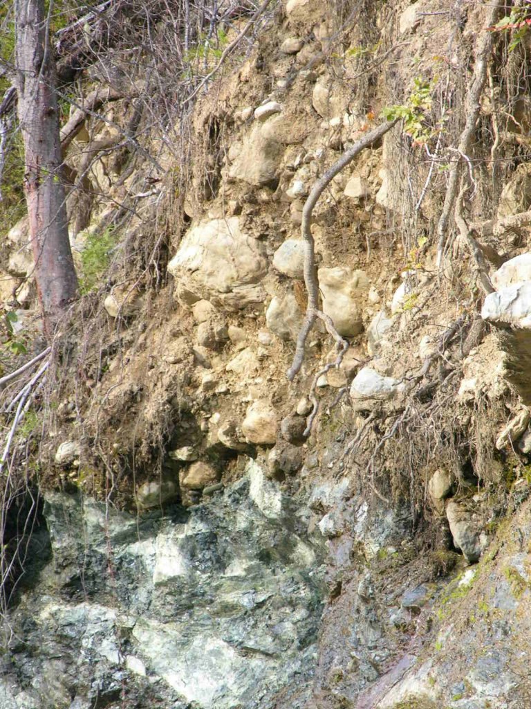
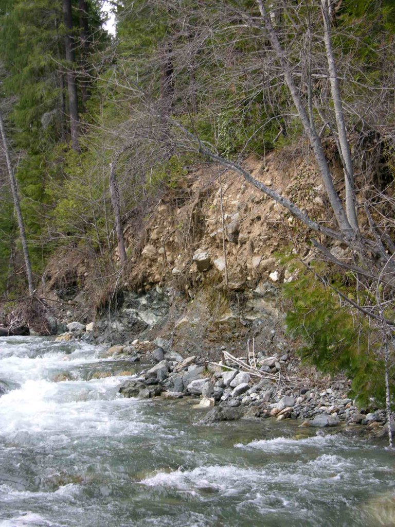
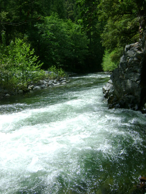
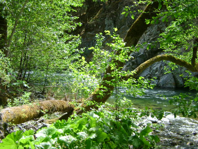
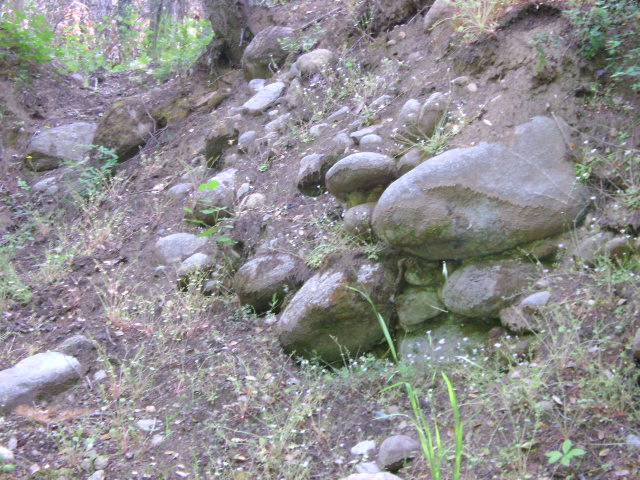
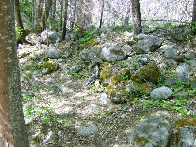
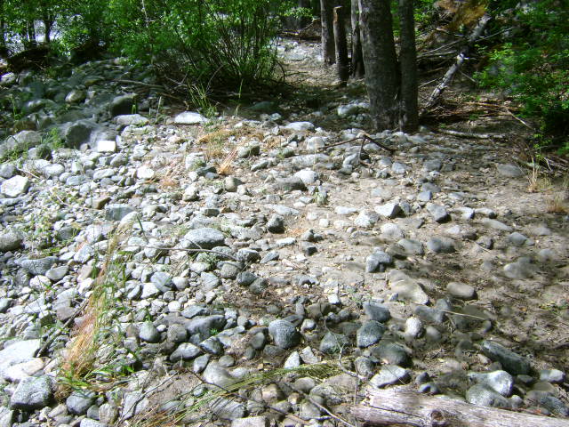
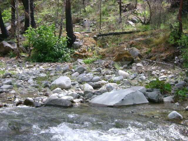
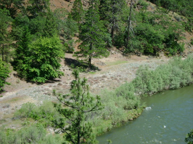
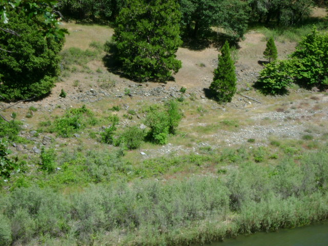
A closer look down along the creek (in the area where Dale was dredging) will show virgin streambed eroding off of the bedrock into the creek, directly beneath the Huey Mine. Wow, does that look good! No doubt, this is the result of the large winter storm which washed out the bridge to the West Branch Campground a few years ago.


Click on thumbnail for larger image.


Map Thumbnail

Topo


Important note concerning Mining & Dredging Seasons on this Property

Google Earth Coordinates: 41 41’27.8″N 123 21’17.3″W

To view the content from the link above you will need to have Google Earth installed on your home computer. Download Google Earth


Elk Creek Claim E-4


E-4 ELK CREEK CLAIMS AT THE 10-MILE BRIDGE – can be reached by driving a little more than nine miles up Elk Creek Road from Highway 96, and watching for the first substantial road that turns left. There is a bridge, which is located at about the center of our claims. After crossing the bridge, you can turn right or left to gain access to camping and other creek access points further up or downstream along Elk Creek. If you go in the upstream direction, you will find the access road and camping areas extend up to Doolittle Creek. If you go downstream, you will be turning left on Forest Service road #15N02, and you will find the lower creek boundary posted on a tree 6/10 of a mile downstream alongside the road. There are various primitive access roads extending down toward the creek. The last one is best and is marked with a New 49’er directional sign. This access road extends directly to the creek. The upper end of the creek claims can be located by continuing upstream on Elk Creek Road. The upper creek boundary is posted on a tree alongside the road 1/2 mile upstream from the 10-mile bridge. There is another access road located a short distance downstream from the bridge. This road dead-ends at a parcel of private property. As our claim butts up to the private property, our boundary sign can be found on a tree alongside the road.

PROSPECTS: The area has a rich gold mining history, with old mine workings along the banks near Doolittle Creek. We had several members say that they found good gold while dredging in the creek near the lowest access point toward the lower end of the claim.

Click on thumbnail for larger image.

Map Thumbnail

Topo

Map Thumbnail

3D Down

Map Thumbnail

3D Up

Map Thumbnail

Aerial

Map Thumbnail

Satellite


Important note concerning Mining & Dredging Seasons on this Property

Google Earth Coordinates: 41 47’15.8″N 123 4’46.1″W

To view the content from the link above you will need to have Google Earth installed on your home computer. Download Google Earth


K-8 MILL CREEK CLAIMS – The upriver boundary (mile marker 68.13) is located about three miles down the Klamath from its confluence with the Scott River. The boundary is posted next to fenced private property several hundred feet upriver from the confluence with Mill Creek (mile marker 68.13). There is a short access road to the upper end of the claim, which the private property owner also uses to reach his private property. The lower boundary (mile marker 67.75) is located about 1/2 mile down river on a dead tree between the road and the river. There is a small camping area alongside the highway near Mill Creek–which is limited to two weeks.

IMPORTANT NOTE: Between June 15 and October 15, there will be no dredging within 500 feet of the mouth of Mill Creek.

PROSPECTS: Some members have dredged fines and flakes on the road-side of this claim. Independent dredgers have done well just upriver, on the highway side. This is the lower-end of the Hamburg Mining District-which has a very rich history.

Click on thumbnail for larger image.

Map Thumbnail

Topo


Important note concerning Mining & Dredging Seasons on this Property

Google Earth Coordinates: 41 39’30.1″N 123 19’5.2″W

To view the content from the link above you will need to have Google Earth installed on your home computer. Download Google Earth


E-5 ELK CREEK CLAIMS AT SULPHUR SPRINGS – can be located by driving up Elk Creek Road three miles beyond the 10-mile bridge. Follow the signs leading to Sulphur Springs-which is located at the lower end of our claims. Because Sulphur Springs is a popular area for other outdoor recreation enthusiasts, we ask you to not camp or mine in the immediate special staging vicinity. There are several access roads and camping areas further upstream. The upstream boundary is posted one mile further up the road from Sulphur Springs. The lower boundary is posted on a tree near the staging area at Sulphur Springs. If the Forest Service gate is closed, blocking access to the upper portion of the claim, the combination to our lock on the gate is 4444. Please keep the gate locked after you pass through.

PROSPECTS: Several members have spent substantial time dredging on these claims and have been finding gold nuggets on the bedrock. The bedrock is shallow in places, and is accessible by rolling one layer of boulders back. You are looking for hard packed streambed in and around the boulders. Our first Group Dredging Project was done on this claim. You can read about it HERE.

Click on thumbnail for larger image.

Map Thumbnail

Topo

Map Thumbnail

3D Down

Map Thumbnail

3D Up

Map Thumbnail

Aerial

Map Thumbnail

Satellite


Click on claim numbers for details and maps of the claims.

S-1 S-2 S-3 S-3

Click hereto see a high-resolution image of this map. (470,907 bytes)


Important note concerning Mining & Dredging Seasons on this Property

Google Earth Coordinates: 41 48’7.1″N 123 5’45.2″W

To view the content from the link above you will need to have Google Earth installed on your home computer. Download Google Earth


K-9 NEGRO CREEK CLAIMS – The upriver boundary (mile marker 67.28) is located 4 miles down the Klamath from its confluence with the Scott River, just downriver from the cable car which extends across the Klamath River. There is a small campground located just down river from the upper end of the claim on a short side-road between Highway 96 and the river. The access road to the camping may require a little brushing to make it passable. The lower boundary (mile marker 66.65) is located several hundred yards upriver from Negro Creek-which comes in from the far side of the river. There is private property between Highway 96 and Klamath, toward the downriver end of the claim, so access must be accomplished from further upstream.

PROSPECTS: Several members have been dredging a good gold deposit on the far bank of the river toward the lower end of the claim. This section of river carried rich gold deposits during the earlier days of mining. There are substantial old mine workings on the far bank, and Negro Creek had a good history. Also, commercial dredgers have located a rich deposit in the river, on the private property located just downriver from this claim.

Click on thumbnail for larger image.

Map Thumbnail

Topo

Map Thumbnail

3D Down

Map Thumbnail

3D Up

Map Thumbnail

Aerial

Map Thumbnail

Satellite


Important note concerning Mining & Dredging Seasons on this Property

Google Earth Coordinates: 41 51’50.8″N 122 47’22.2″W

To view the content from the link above you will need to have Google Earth installed on your home computer. Download Google Earth


Klamath river Claim K-3


K-3 GOTTVILLE CLAIMS – are located 2 miles upriver from the town of Klamath River. The claims can be accessed from either side of the river. To reach the far side, cross the Walker Creek bridge, which is located 3-1/2 miles downriver from the town of Klamath River, and turn left on Walker Creek Road (which is gravel, but maintained). The downriver boundary (mile marker 89.68) of the claim is posted on a tree alongside the road. The upriver boundary of the claim is posted on a tree alongside Highway 96 near mile marker 90.51. There is some private property, with one house, between the river and Highway 96 about midway along the claim. Please allow the owners some space and privacy. The claim is about a mile long. Camping is available on the far side of the river–limited to two weeks.

PROSPECTS: This claim is located in the Gottville Mining District, which was historically one of the richest sections of the Klamath River.

Click on thumbnail for larger image.

Map Thumbnail

Topo

Map Thumbnail

3D Down

Map Thumbnail

3D Up

Map Thumbnail

Aerial

Map Thumbnail

Satellite
 

Tags